2015 Civil War Travelogues — Lexington, Kentucky
Welcome to my 2015 travelogue pages, commemorating the fifth year of the Civil War Sesquicentennial! This report covers my trip to visit a few Civil War–related sites in or near by Lexington, Kentucky. To see the entire list of my 2015 trips, go here.
| Here is a reminder about the reason I write these pages the way I do. They record my experiences and impressions of Civil War trips primarily for my future use. Thus, they sometimes make assumptions about things I already know and focus on insights that I receive. They are not general-purpose descriptions for people unfamiliar with the Civil War, although I do link to various Wikipedia articles throughout. Apologies about the quality of interior photographs—I don't take fancy cameras with big flashes to these events. If you would like to be notified of new travelogues, connect to me via Facebook. |
Friday, March 27, 2015
My wife Nancy and I arrived in Lexington late Wednesday night and we spent Thursday on horse-related activities. (Nancy is a big horse aficionado and a horse owner herself, and the primary purpose for this trip was for her to attend the Road to the Horse show in Lexington. I was along for the ride. The horse activities of this trip are covered in a separate travelogue, here.)
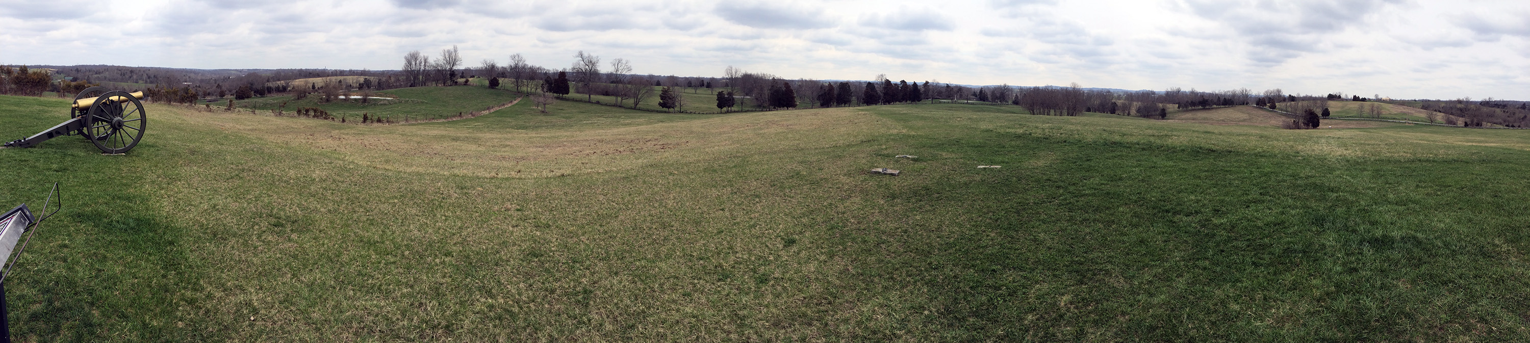
The most important battle in this part of the world, and certainly the best battlefield, is Perryville. It is little more than an hour from Lexington. I had previously visited Perryville State Historic Park in October 2007, on a Blue and Gray Education Society walking tour, led by historian and author Kenneth W. Noe. I met the battlefield manager, Kurt Holman, in his man cave underneath the small museum and visitor center, where he just happened to be working on updates to his series of elaborate maps, which show positions for every unit on the battlefield in 15 minute increments. I was rather surprised to see that he is using Paint Shop Pro and manipulating everything as raster images, which I consider rather burdensome (in contrast to the vector-based tool I use, Adobe Illustrator, among others). I watched for a while as he updated some park boundaries that have recently been expanded and improved the unit labeling. Then I spent about 45 minutes in the museum, which has a decent video and a small collection of artifacts and battle commentary. Civil War Trust members get into the museum for free!
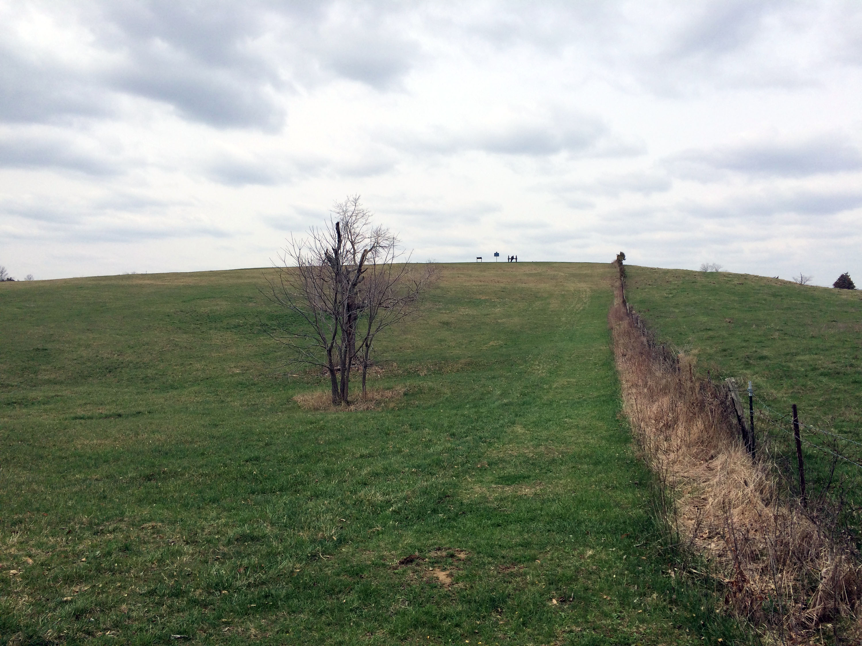
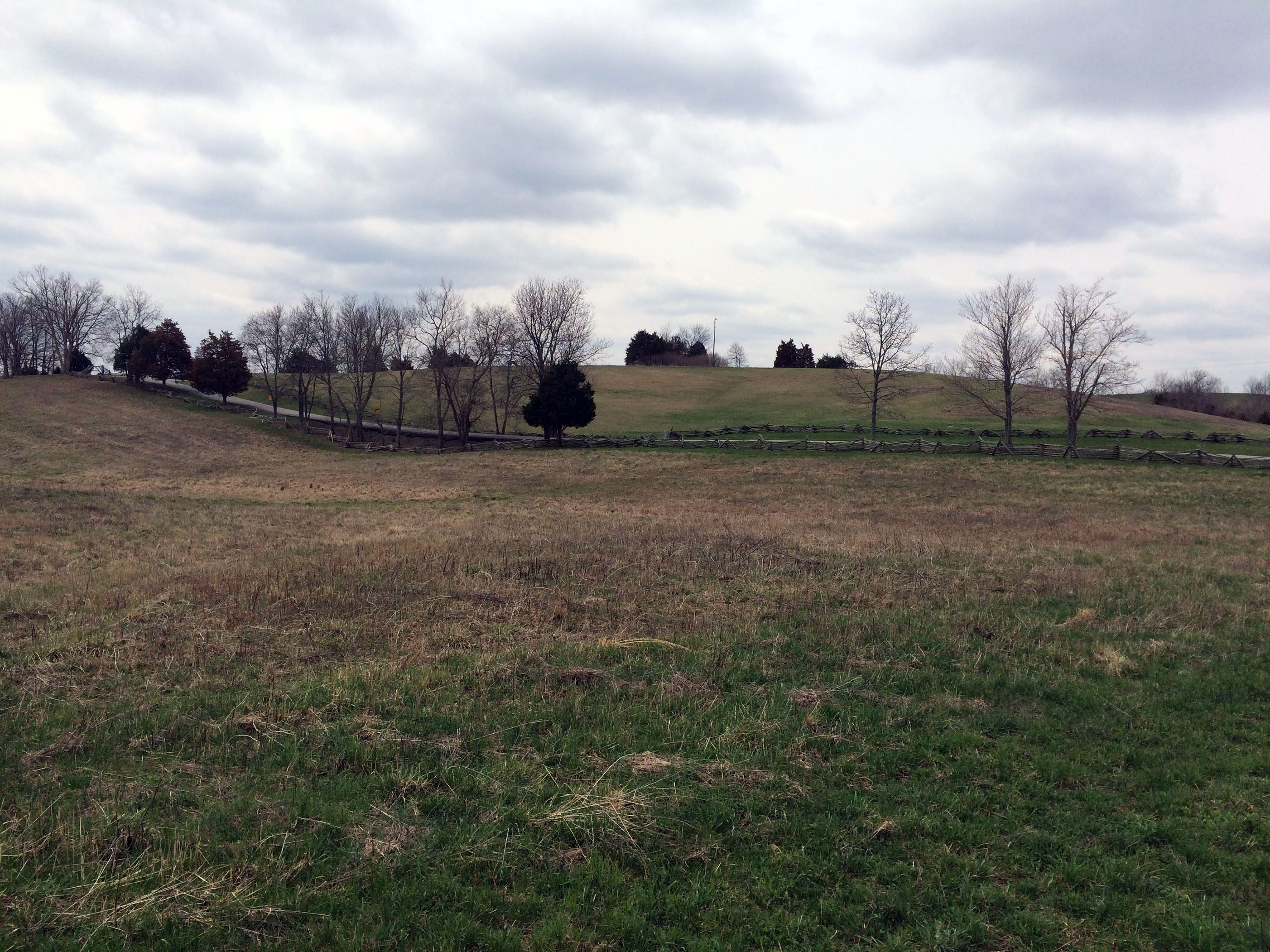
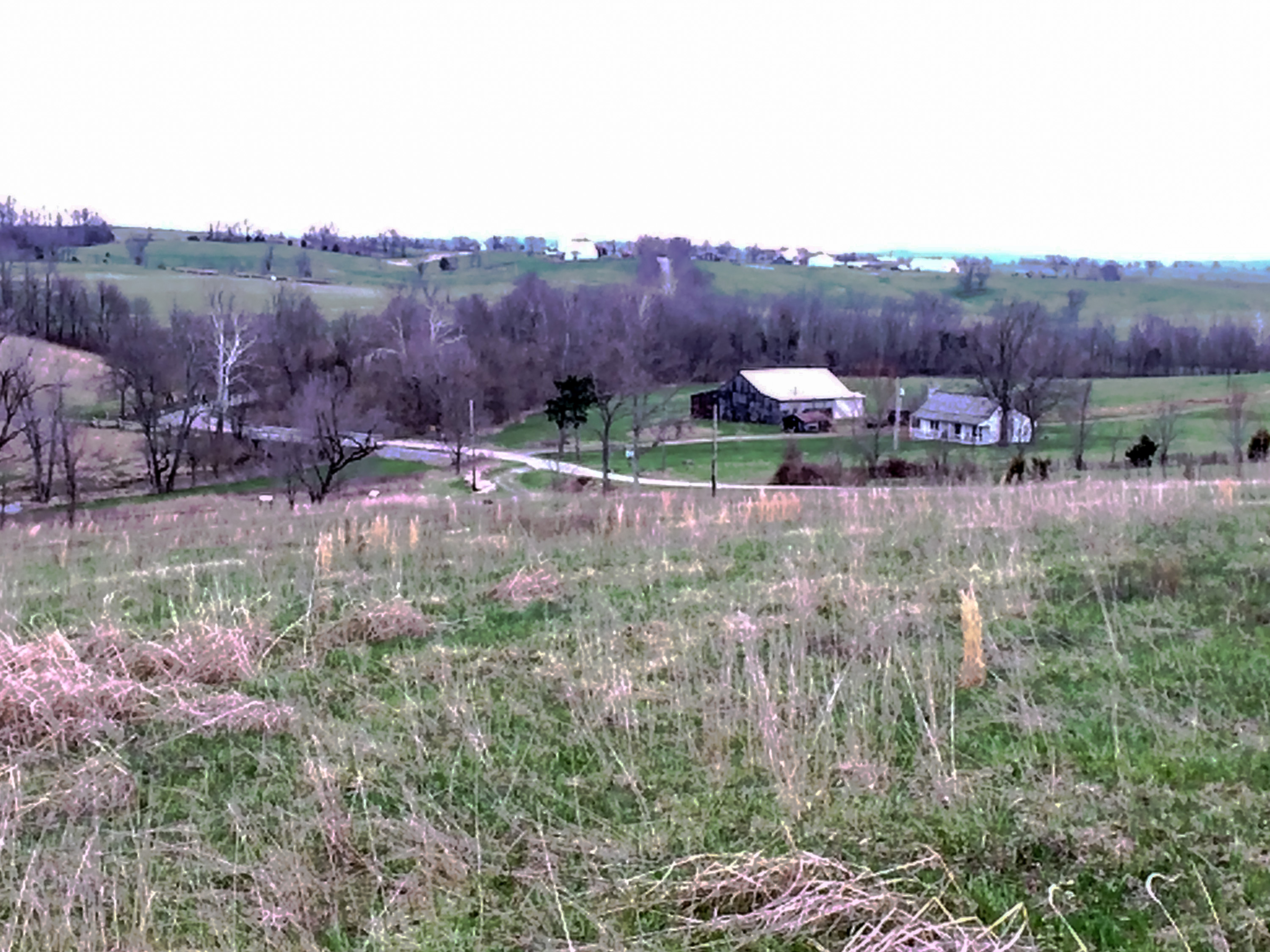
Since my visit in 2007, the park has added lots of walking trails with interpretive signage and I walked about 3 miles of them. Among other highlights, I visited Open Knob, Starkweather's Hill, the "high water mark," Dixville Crossroads, Bottom's House, Sinkhole Valley, and Donelson’s assault. There are 45 stops in all, but they are laid out in a purely geographic grid, with no time-based or unit-based program to follow. (The trails going north–south generally represented Union defensive positions, while east–west represented Confederate attacks.) Paths mown in the grass were rather difficult to follow in the early spring while the grass was short and brown, but at least there was no snow. Nevertheless, 40° with a brisk wind on open hilltops was pretty chilly. I was literally the only person on the field all day. There are no restaurants in the town of Perryville, so I drove back through Danville, the next town to the east.
Saturday
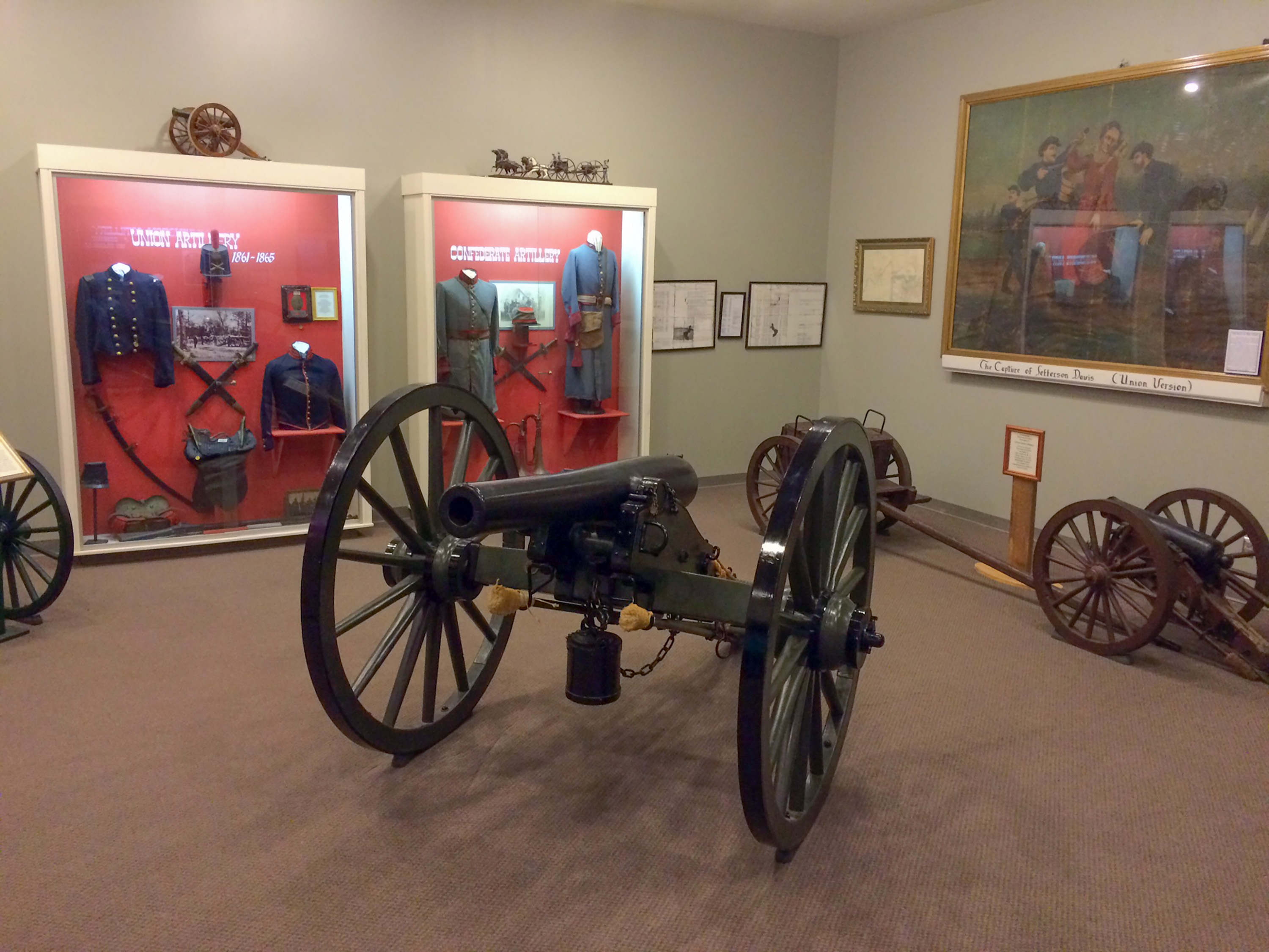
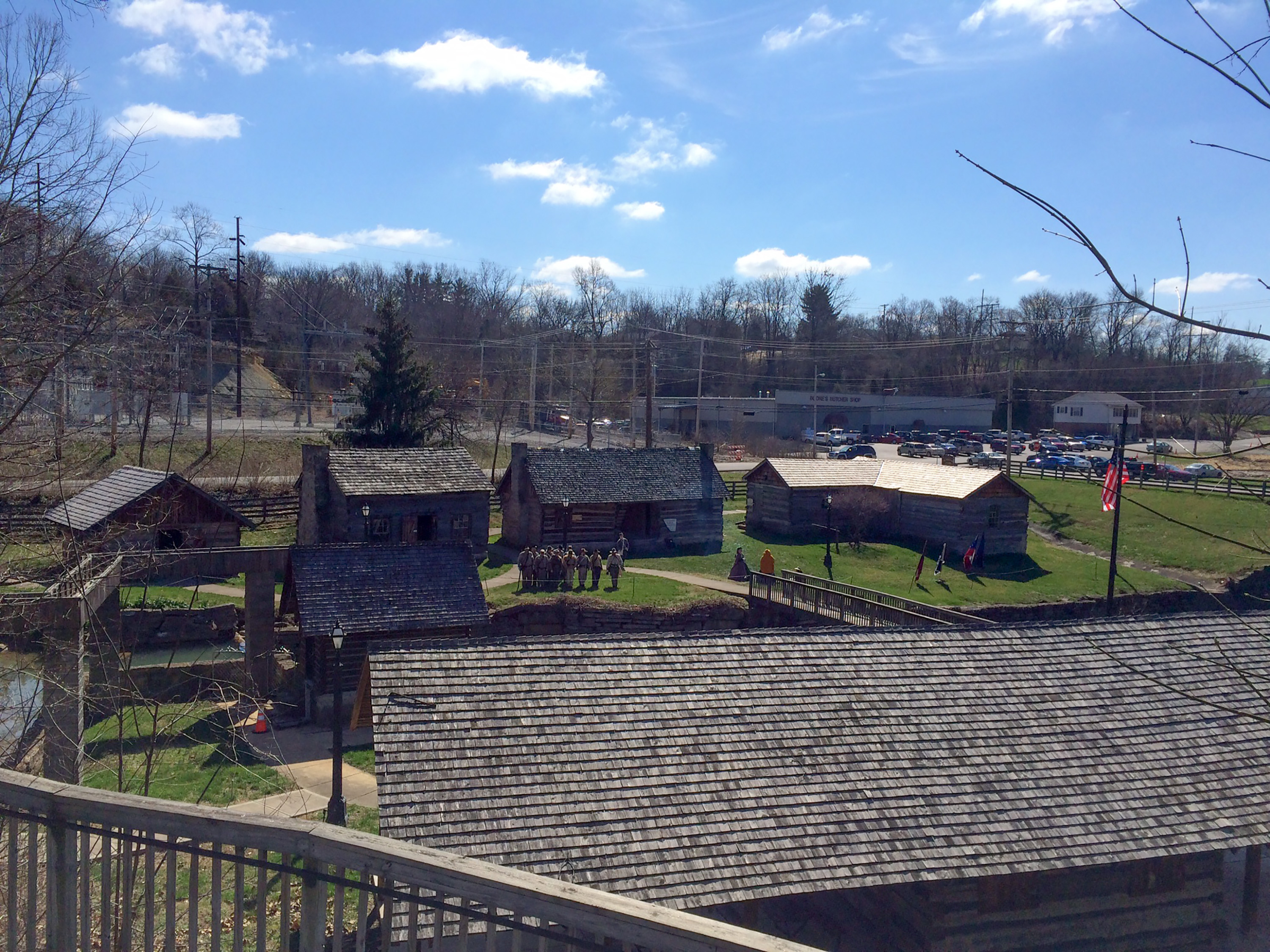
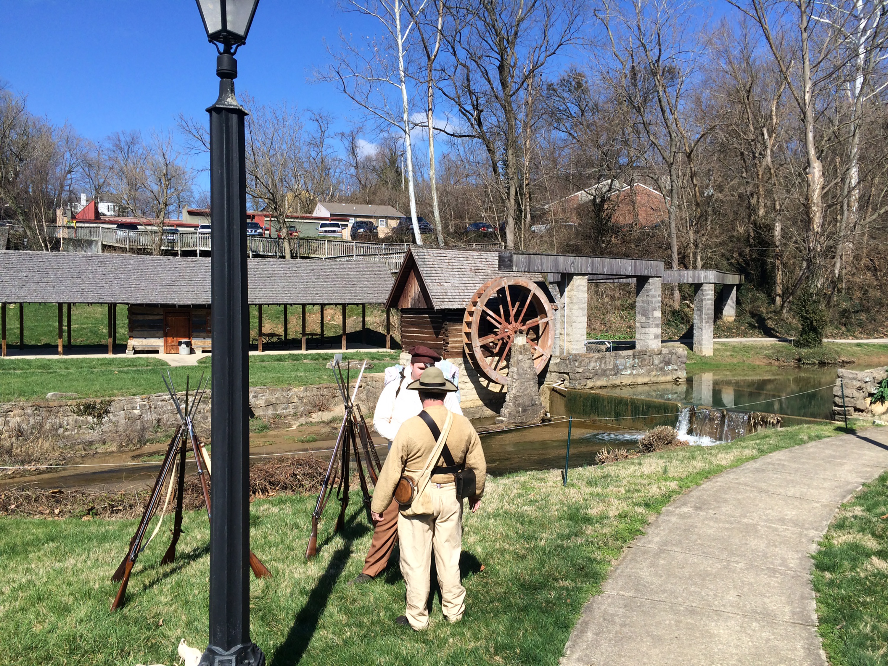
Today started off clear and 20° (and no, that is not Celsius). I drove an hour southwest to Bardstown, which was a temporary concentration point for both armies prior to the battle of Perryville. It hosts the Civil War Museum of the Western Theater. They had a large collection of artifacts—uniforms, weapons, etc.—but they were oddly organized, often jumbled in crowded cases with inadequate labels. There were exhibits about a number of Kentucky officers from both sides, but also somewhat random ones. Battle descriptions had old out of focus maps and were chock full of misspellings and factual errors—dates, names, unit names. Poor John C. Breckinridge, one of the most famous Kentuckians of all, had his name misspelled in at least four places. There were quite a lot of naval exhibits, too, and not just of the Western river war. The best part of the museum for me was a stupendous map of Kentucky, probably 4 x 5 feet, created for Don Carlos Buell. (I later found this same map by Nathaniel Michler in the Library of Congress, here.) Next door, the Pioneer Village had about a dozen really rustic buildings/log cabins/shacks and the bitterly cold day only made them seem more inhospitable. The local Confederate reenactor unit began spring muster with under a dozen guys and a few women, so it was mostly milling around and light drill. There were a few other museums nearby, on Civil War women, and Stephen Foster's Old Kentucky Home, but I bothered with neither. The Abraham Lincoln Birthplace National Historic Park was not far away in Hodgenville, but I thought it was too cold for me to enjoy exploring its outside exhibits.
I drove another hour-plus to Munfordville, with big construction tie ups on I-65, and found that the local visitor center closed on weekends! So I was not able to access the official local driving tour, but as I had drawn maps of the battle, I knew my way around. South of the Green River I found a walking trail of about a mile, around half of the Union line, including Fort Craig. The fort is on private property, but you can see it about 100 yards away. A few of the wayside signs had very nice tactical maps. By now it was about 40° and pretty pleasant in the sunshine. I drove a mile or so south to Rowlett's Station, but I was able to find nothing more than a highway sign about the 1861 battle.
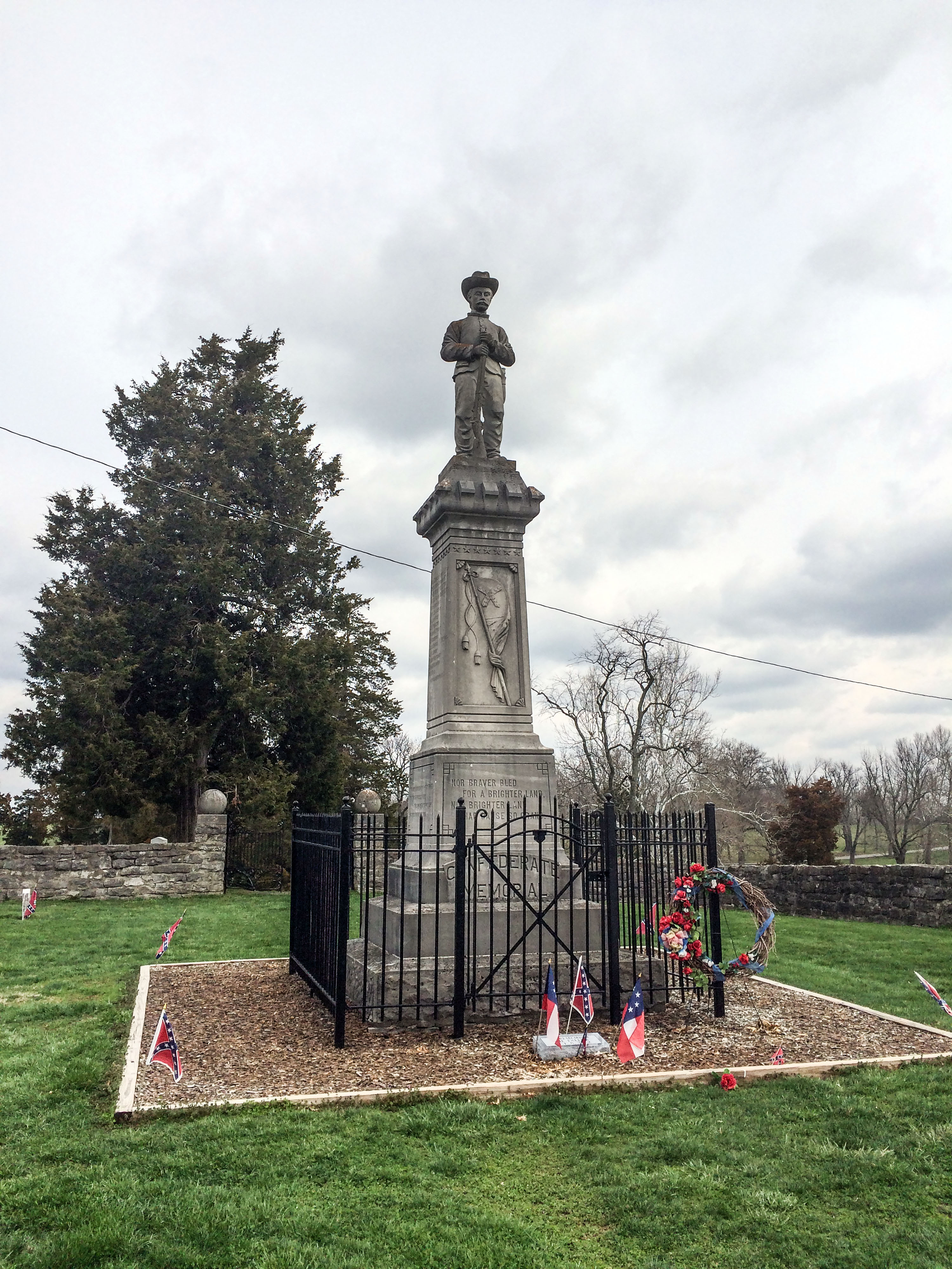
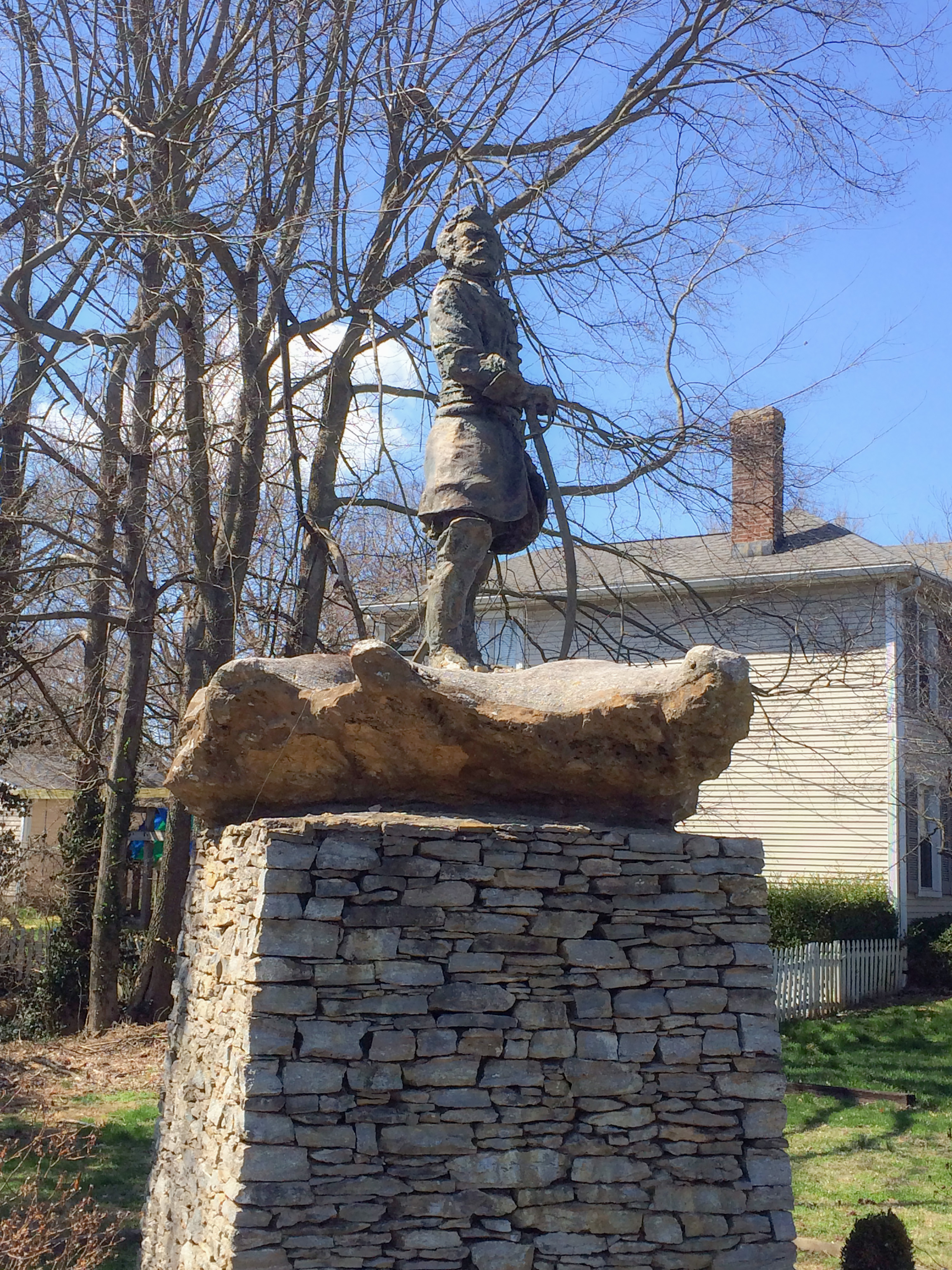
Heading back on a different route, I drove through Campbellsville, and I am embarrassed to say that it slipped my mind that John Hunt Morgan fought the battle of Tebbs Bend (or Green River Bridge) nearby in 1863. So I missed seeing the Confederate monument and cemetery there. (Once again, there was no open visitor center in town to jog my memory.) My final stop was Lebanon, where there was another battle in Morgan's Raid. There is not a lot of interpretation, but I was able to find some of the streets where the fighting occurred. The surprise of this town was an out of the way statue of George Henry Thomas, who had his headquarters here in late 1861, on his way to Mill Springs. I am sorry to say that the face on the statue did not look very much like the general's. (I also think they slimmed him down quite a bit.)
Sunday
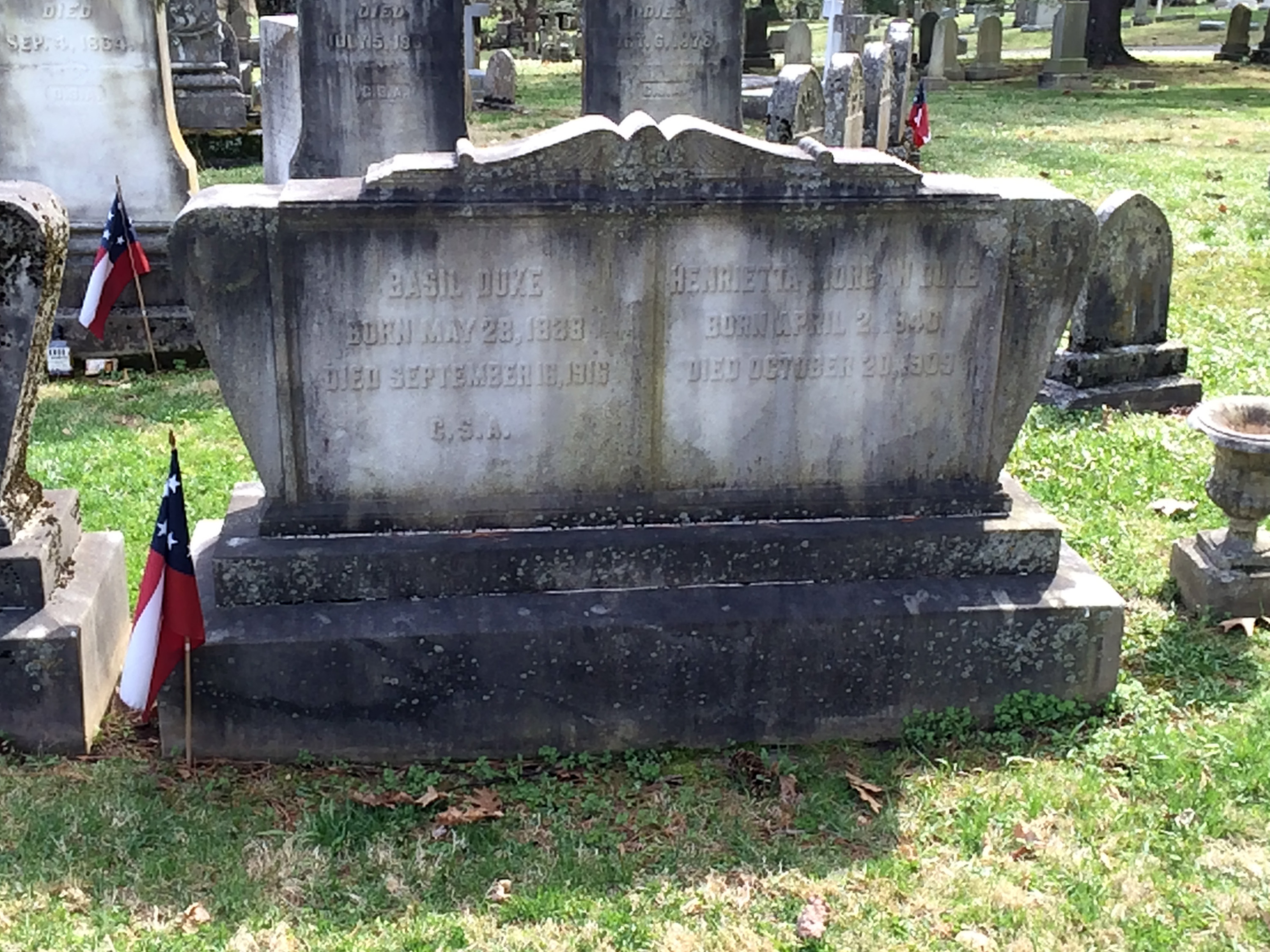
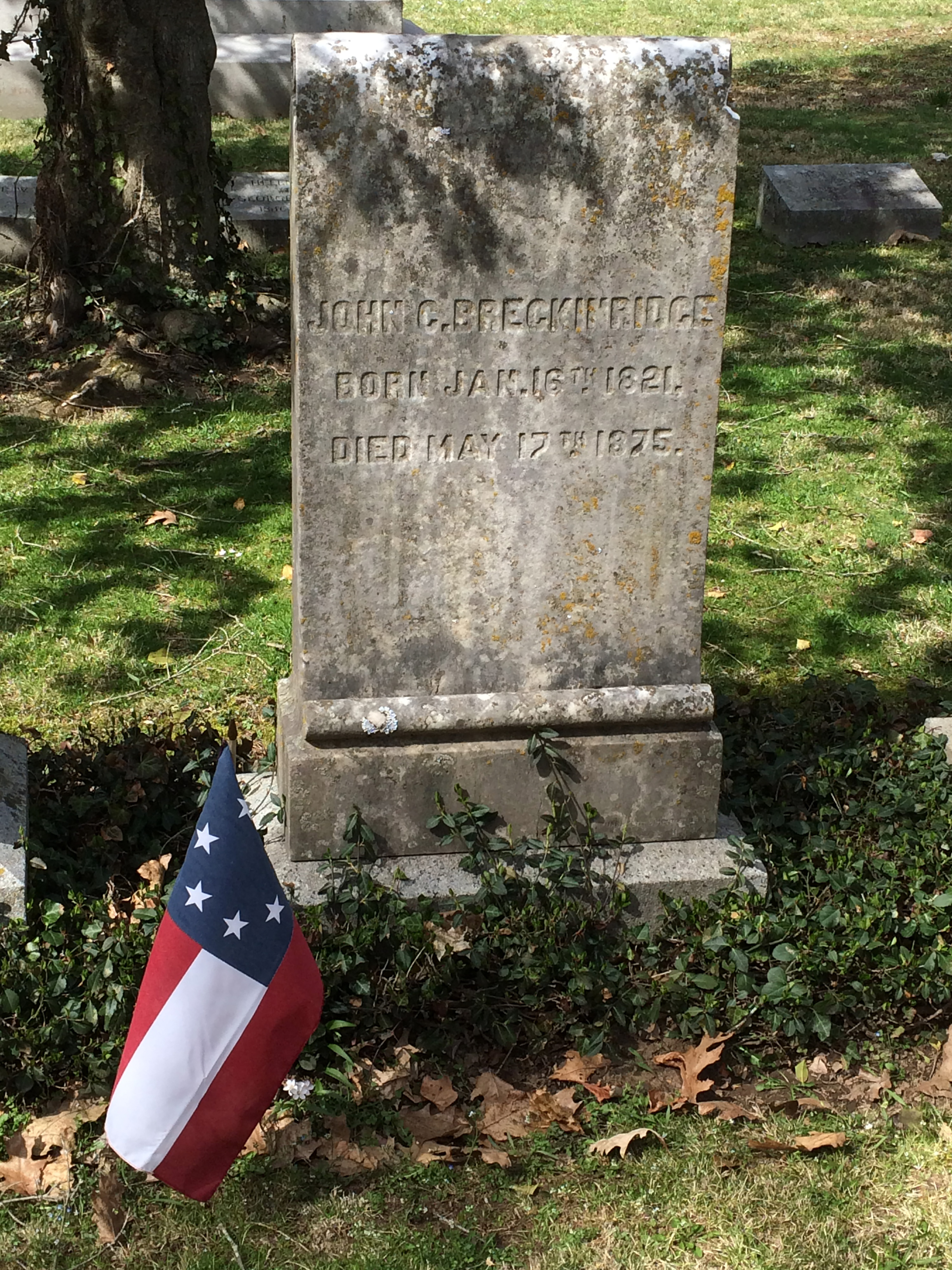
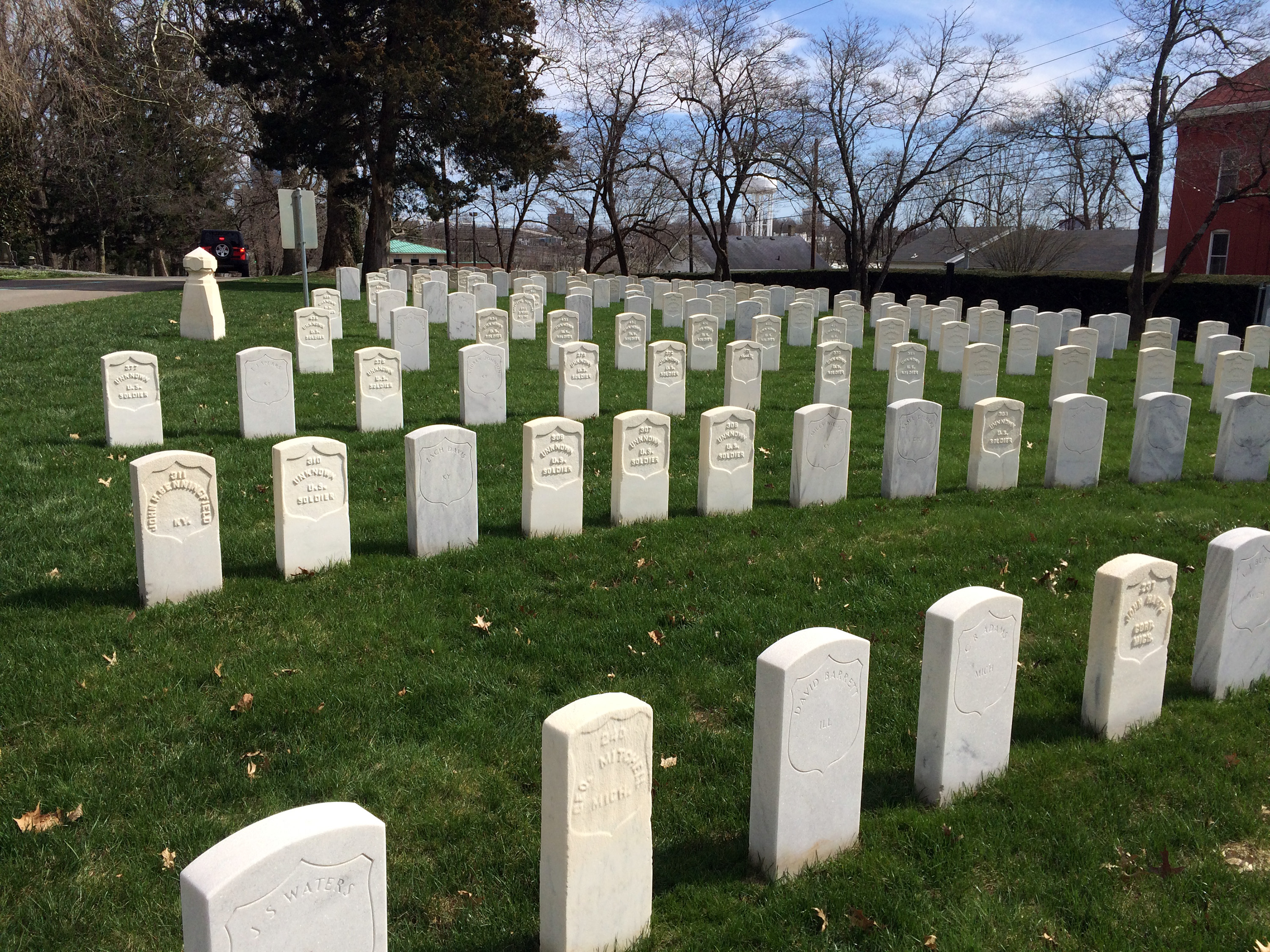
Another very cold morning. I got sort of burned out with all of the heavy driving on Saturday, so I planned a very light schedule today. I originally thought about driving to Cynthiana, Louisville, Brandenburg, and Corydon, Indiana, the latter two parts of Morgan's Great Raid, but it would've been about five or six hours of driving and I was not confident I could find much to see on a Sunday. The Louisville visitor center, for instance, did not even open until noon on Sunday. And I knew from some Internet research that there was very little to see there. None of the Civil War forts that ringed the city remain. Even the famous Galt House has been replaced by a newer building in another location. I spent part of the day at the movies (American Sniper – excellent!) and briefly visited Lexington Cemetery.
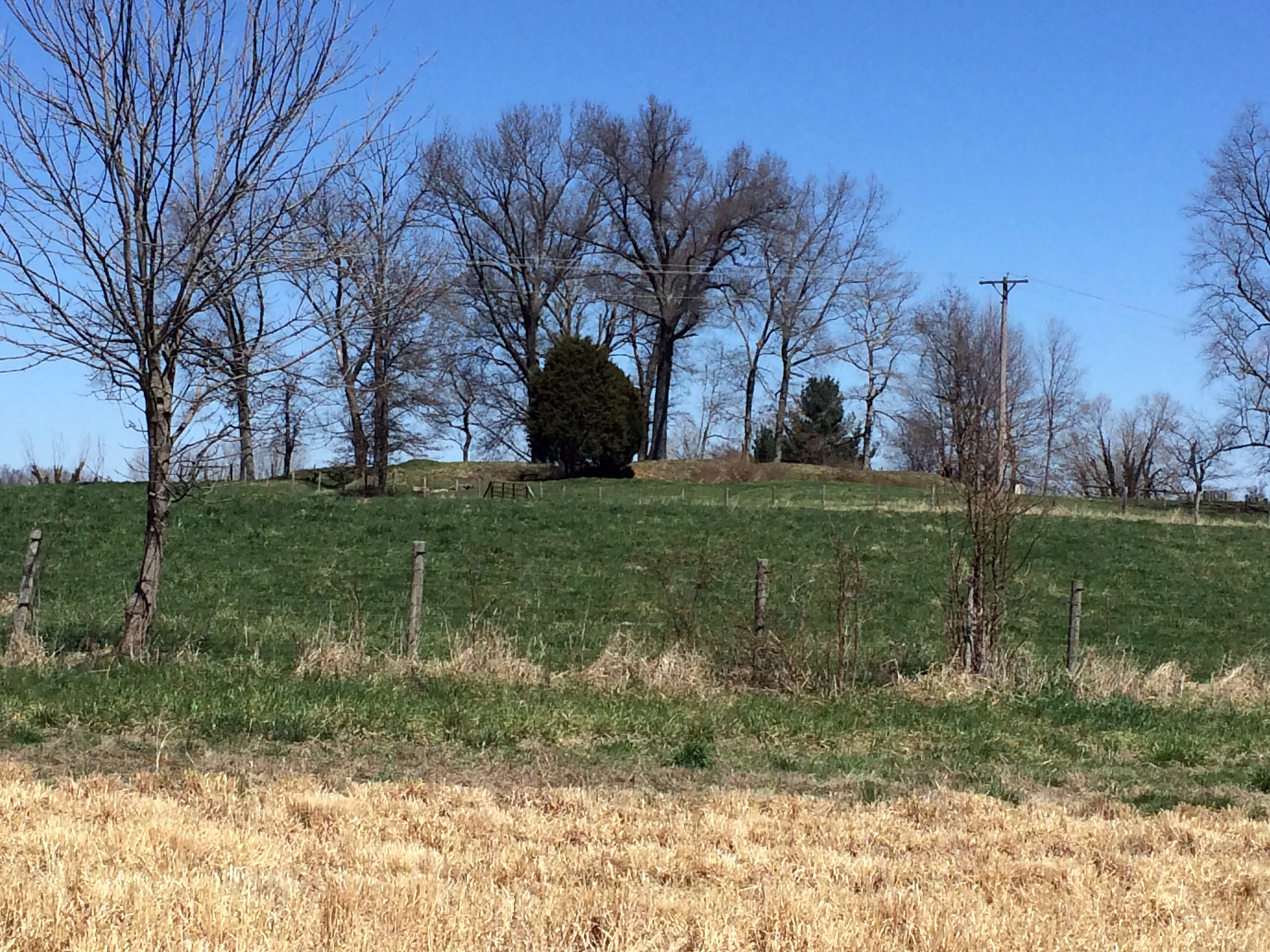
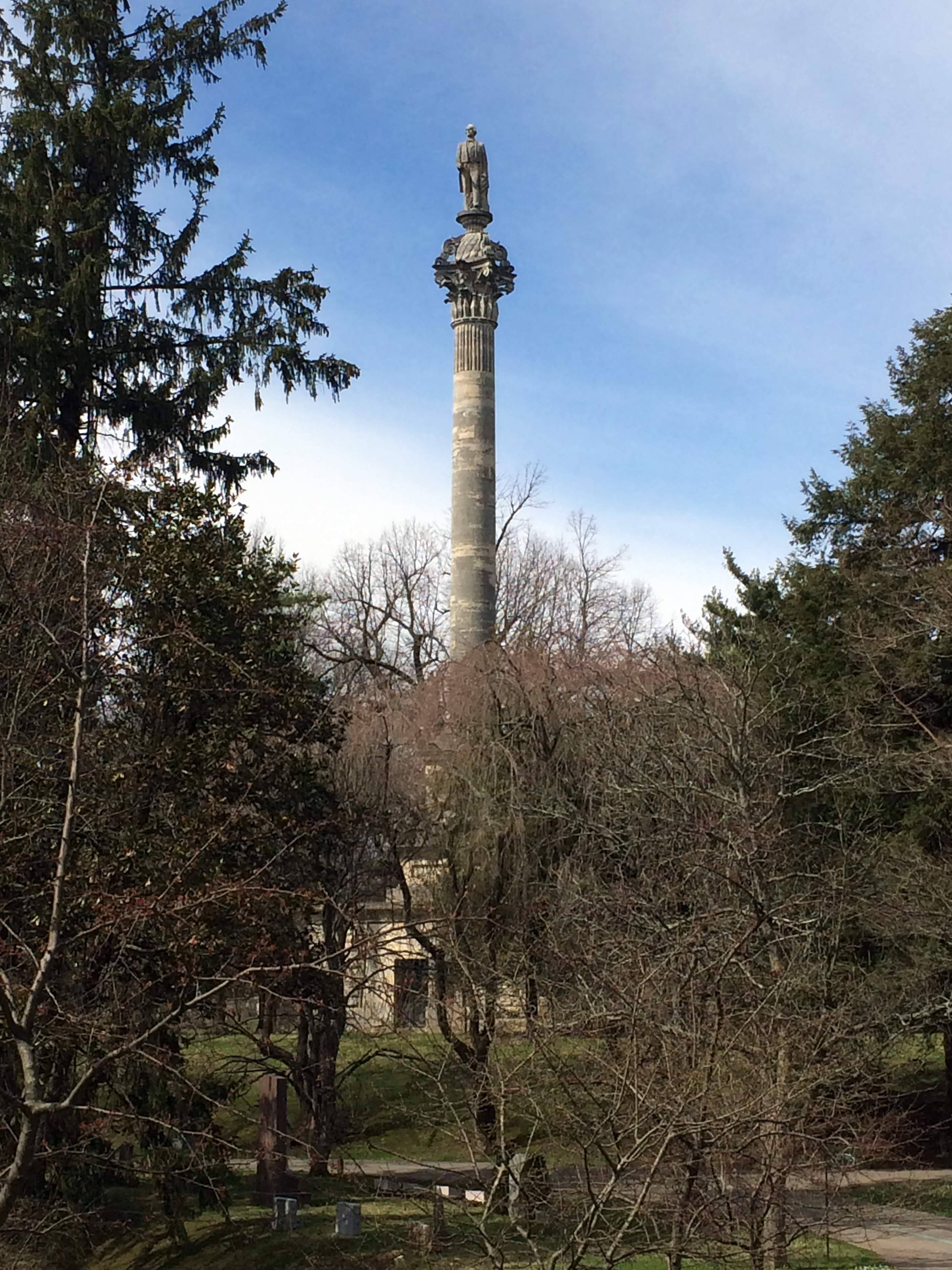
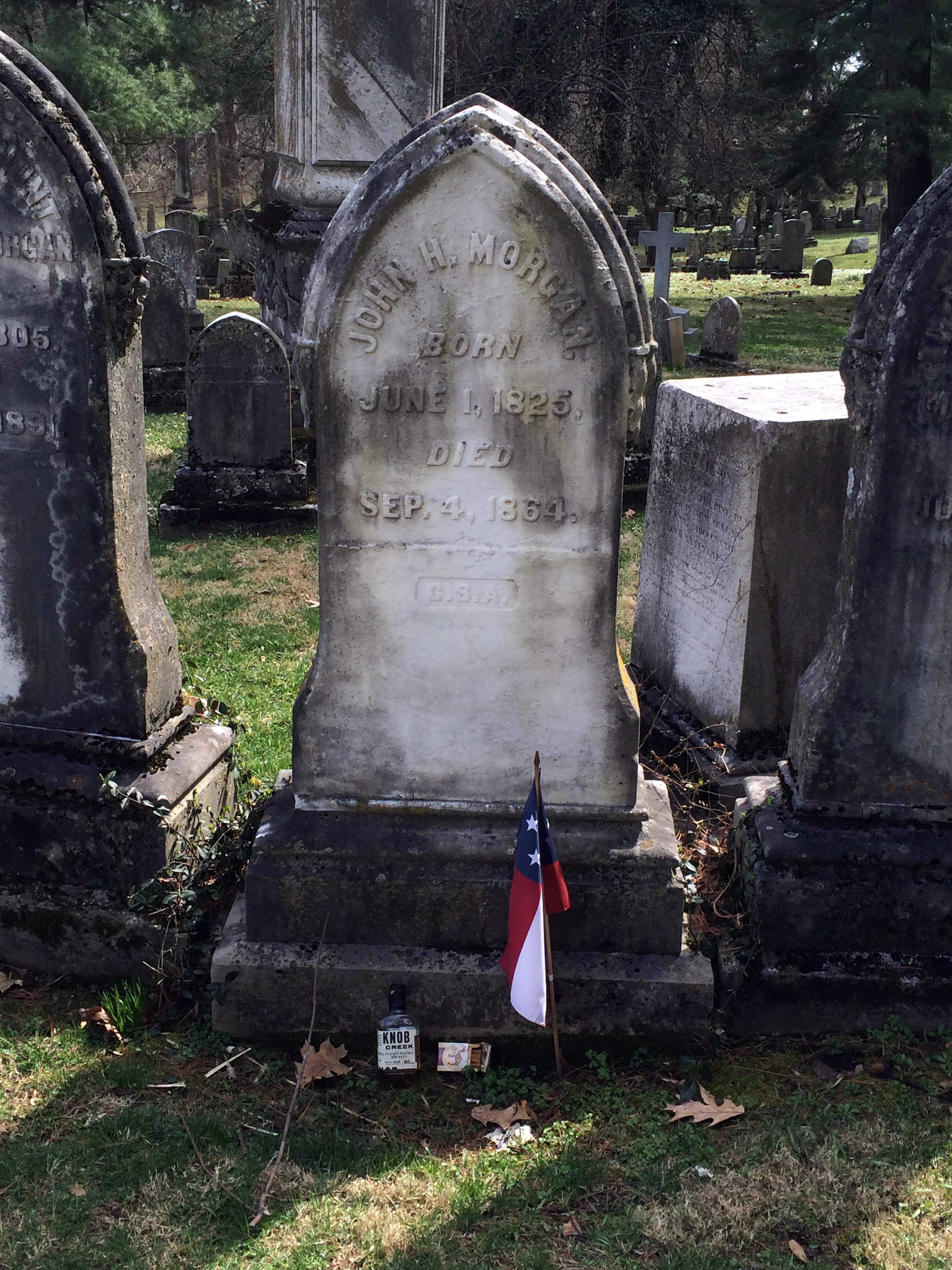
My previous visit to the cemetery was in 2010, when I attended the annual meeting of the Civil War Trust in Lexington. (That meeting was the reason I did not duplicate trips to Richmond, Frankfort, Camp Nelson, or Mill Springs while I was here this year.) Kent Masterson Brown gave us a very comprehensive tour of the cemetery, focusing on a lot of the famous, colorful families, such as the Todds and the Hunt-Morgans. My visit today was much more superficial and I took a few photographs, shown below. Yes, I know this is not a comprehensive collection of famous Civil War graves there. In particular, I missed Gordon Granger, Abe Buford, and Henry B. McClellan, a shortcoming pointed out to me by Eric J. Wittenberg on Facebook.
Monday
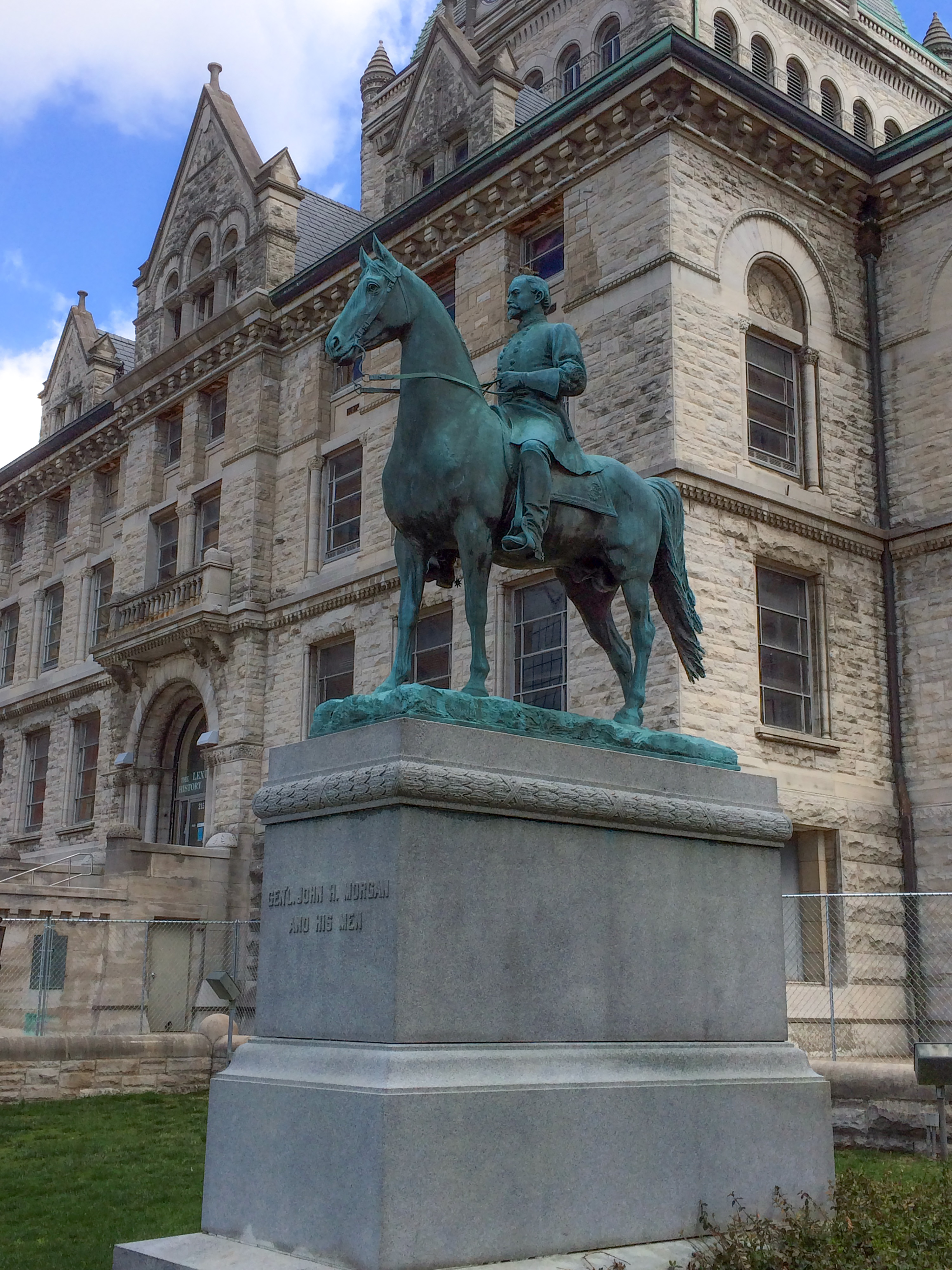
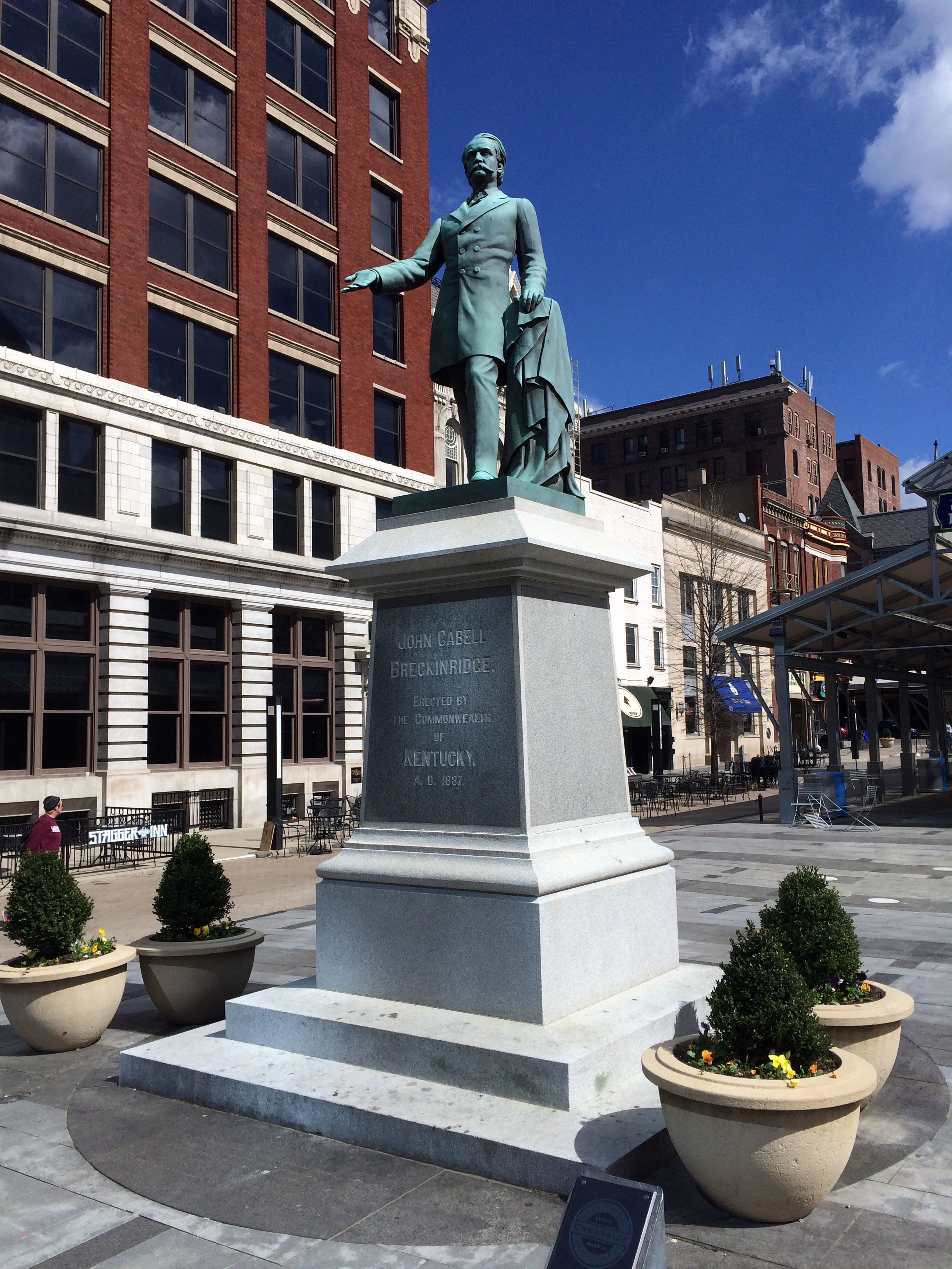
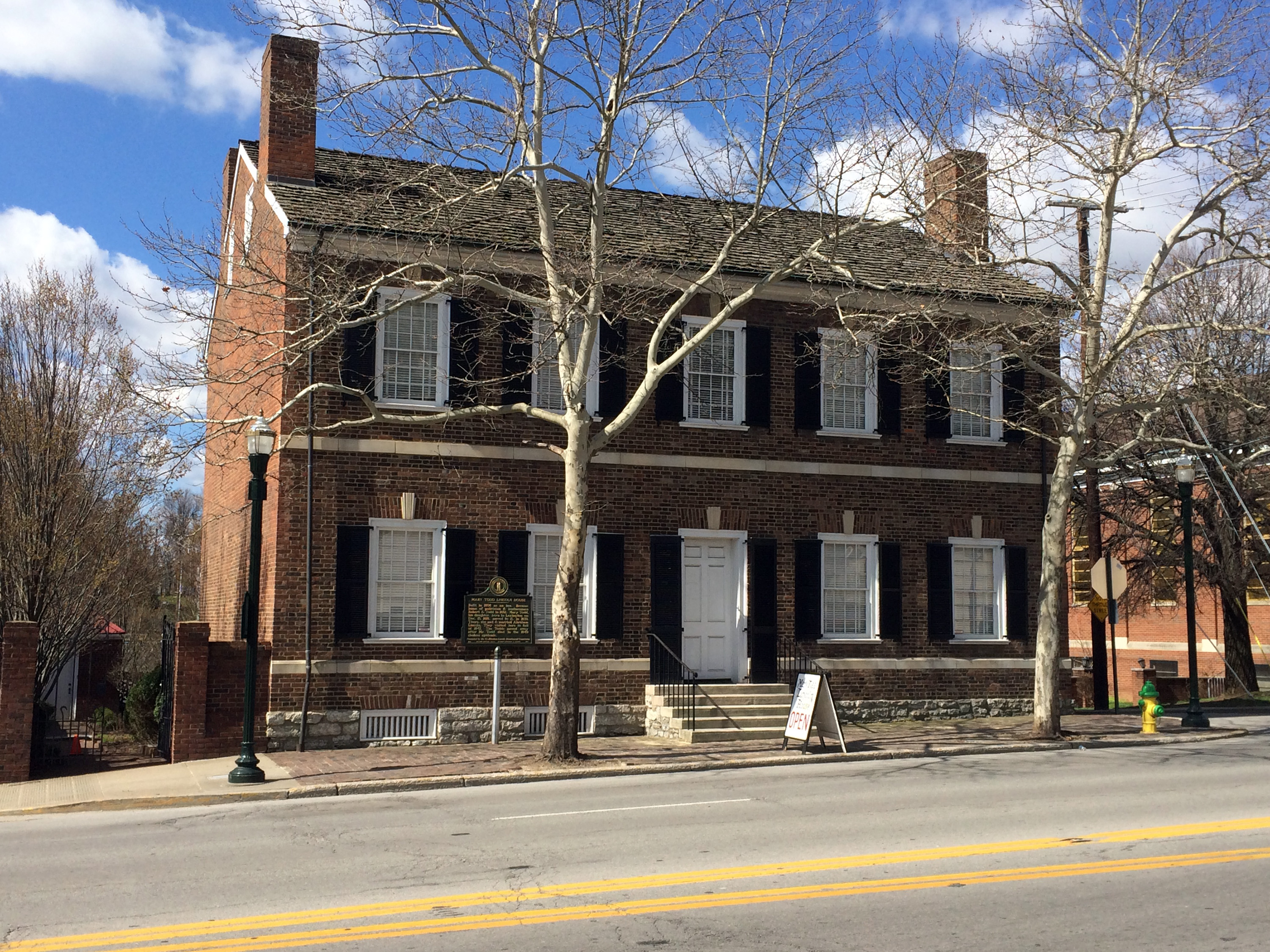
Today was another horse day, but Nancy and I did spend about an hour walking around downtown Lexington and I photographed a few relevant sites. We took an evening flight back to San Francisco.
My next scheduled Civil War excursion is in July, attending the Chambersburg Chamber of Commerce seminar on The End of the War: Richmond, Petersburg, and Appomattox.