Hal Jespersen's Central Pacific Campaign Tour, February 2024 (Part 2)
This is part 2 of my (Hal’s) report on my tour of Admiral Nimitz's World War II Central Pacific campaign, hosted by the Blue and Gray Education Society. It is a long report with a lot of photos, so I have broken it into three parts:
Contents – Part 2
Monday–Tuesday, February 5–6 — Guam
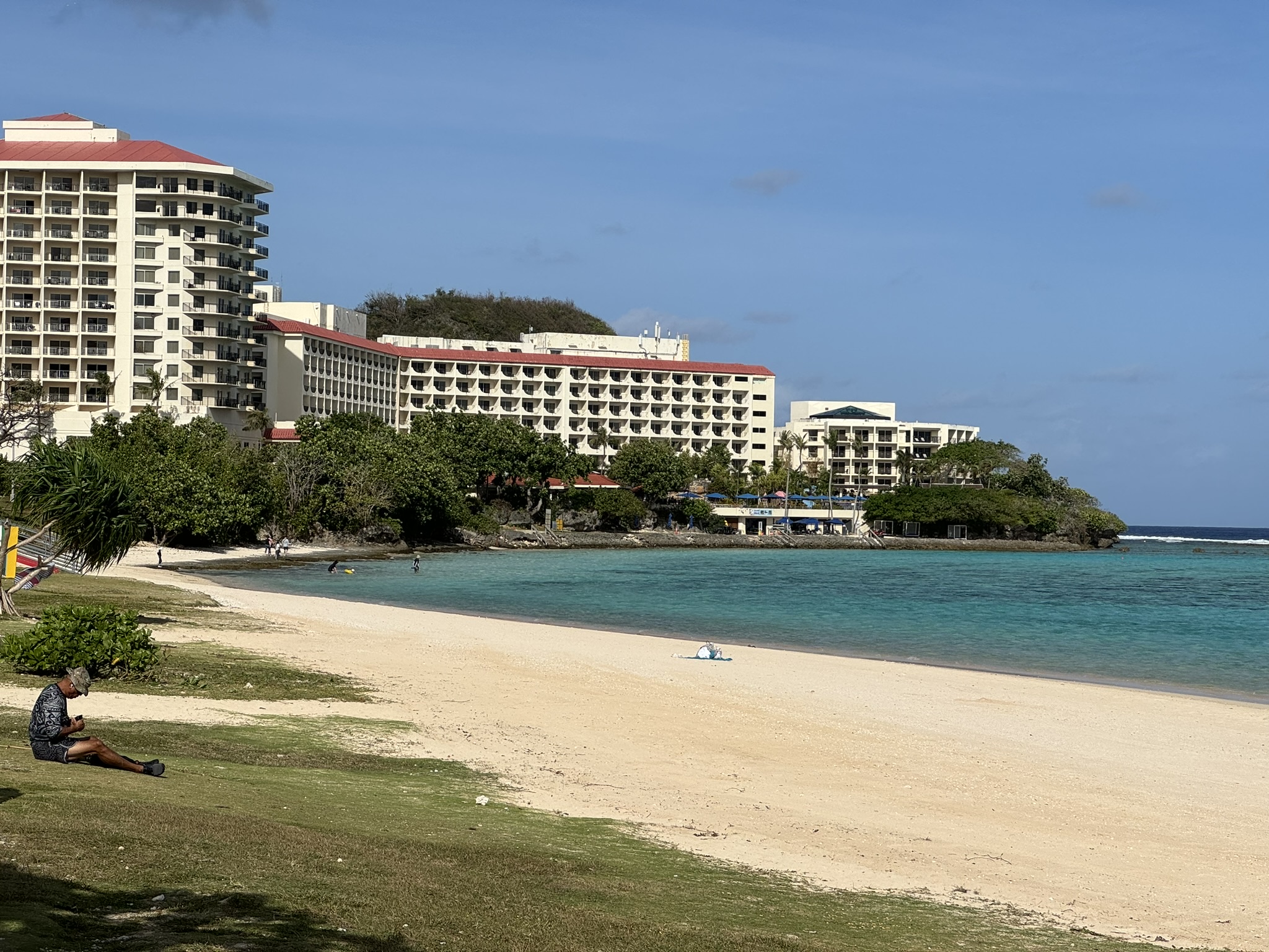
We left mid-afternoon Sunday and after crossing the International Dateline, we arrived in Guam Monday evening. We’re now 18 hours ahead of Pacific time, or essentially 6 hours earlier the next day. We had hoped to get another comfortable van for the eight of us, but a large international military air exercise, Cope North 24, is starting and they commandeered all of those vehicles from the rental companies. So we got two vehicles billed as SUVs, but are essentially small hatchback sedans, which made cramming in our luggage (and legs!) a bit of a challenge. Our hotel is the Guam Plaza in the Tumon Bay district on the west coast of the island, a modern and comfortable hotel connected directly to a shopping mall, and a few blocks from a very attractive beach. Some of the high-rise hotels in this area look a little tired, possibly because a major typhoon a few years ago has not been completely cleaned up. The weather is noticeably more humid than Honolulu, and equally windy, but very pleasant.
Loading up our cramped little cars, we began our focus on the Japanese occupation of the island. We started at Ypao Beach, southwest along the coast. On December 10, 1941, Japanese forces assaulted beaches near here on Tumon Bay. Len talked for a while about the history of Guam, its culture, and the Chamorro people and their Catholic faith. He described the defenses of the island, which were essentially trivial, with 200 Marines, out of about 400 US personnel in total. There was fighting by the Guam Insular Guard militia force and a few of the Marines in the capital, Agana (which now seems to be renaming itself Hagåtña), but the island’s governor, Navy Captain McMillin, ordered their surrender early that morning, so there was only token resistance.
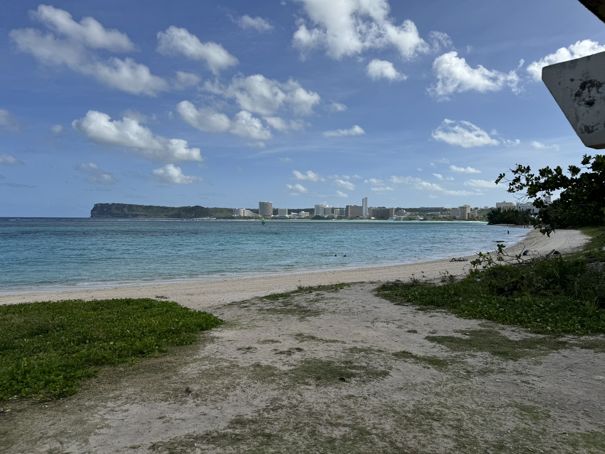
Next was Alupang Beach, the site of one of three major landings. Then we drove to the “War in the Pacific National Historical Site” NOS visitor center, sort of an odd name because it covers only the battle of Guam. But it has a very good museum with a really excellent animated map, showing troop movements and events using lasers painting on a three-dimensional topographic map. And a relatively brief, but excellent movie about the battle. We had lunch at the Naval Base Guam exchange, much smaller than the Hawaiian food courts of previous days. Today I had sushi. I was amused to see that the exchange featured Old Navy merchandise and was also advertising a big sale on Kate Spade handbags.
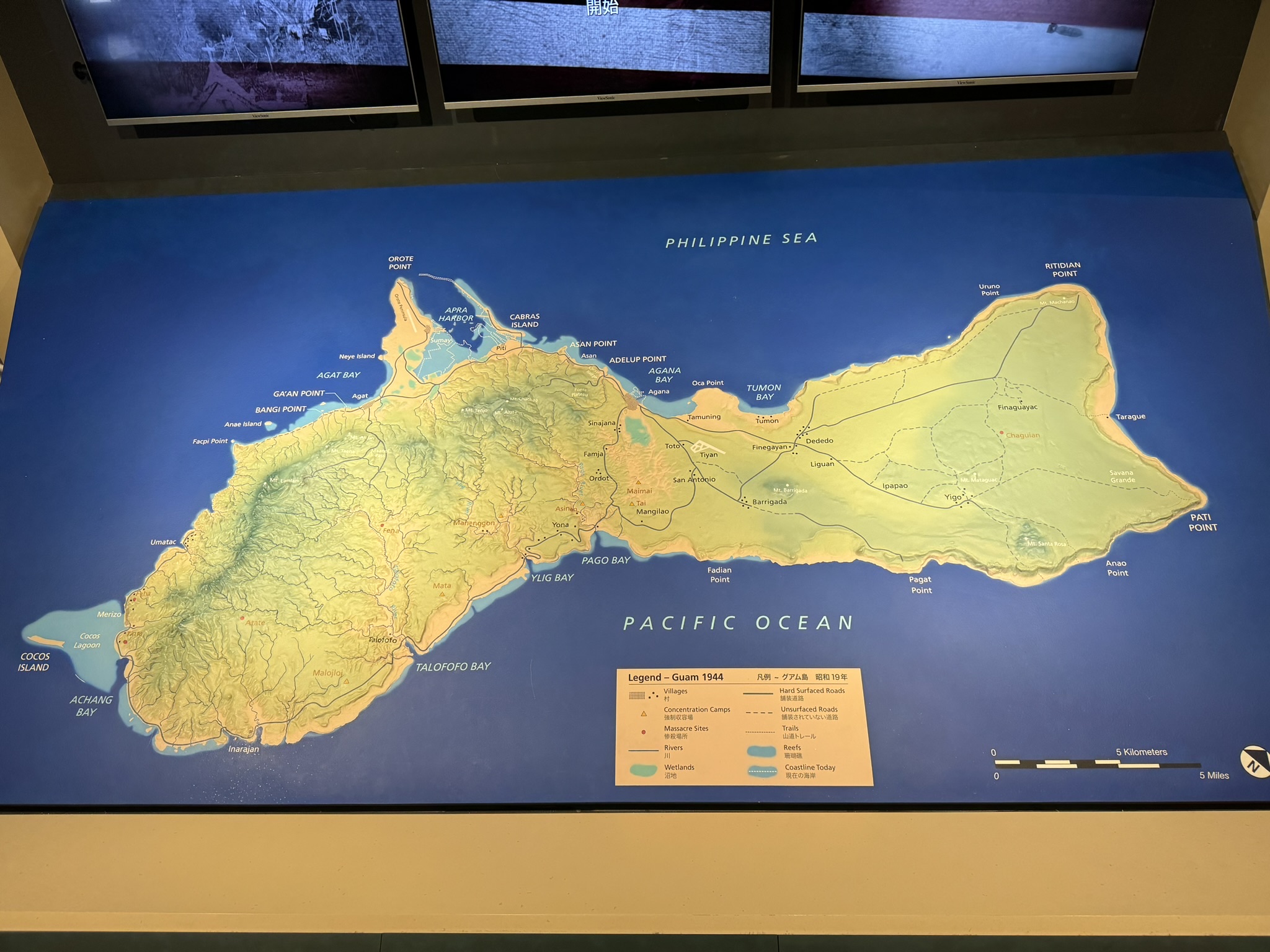
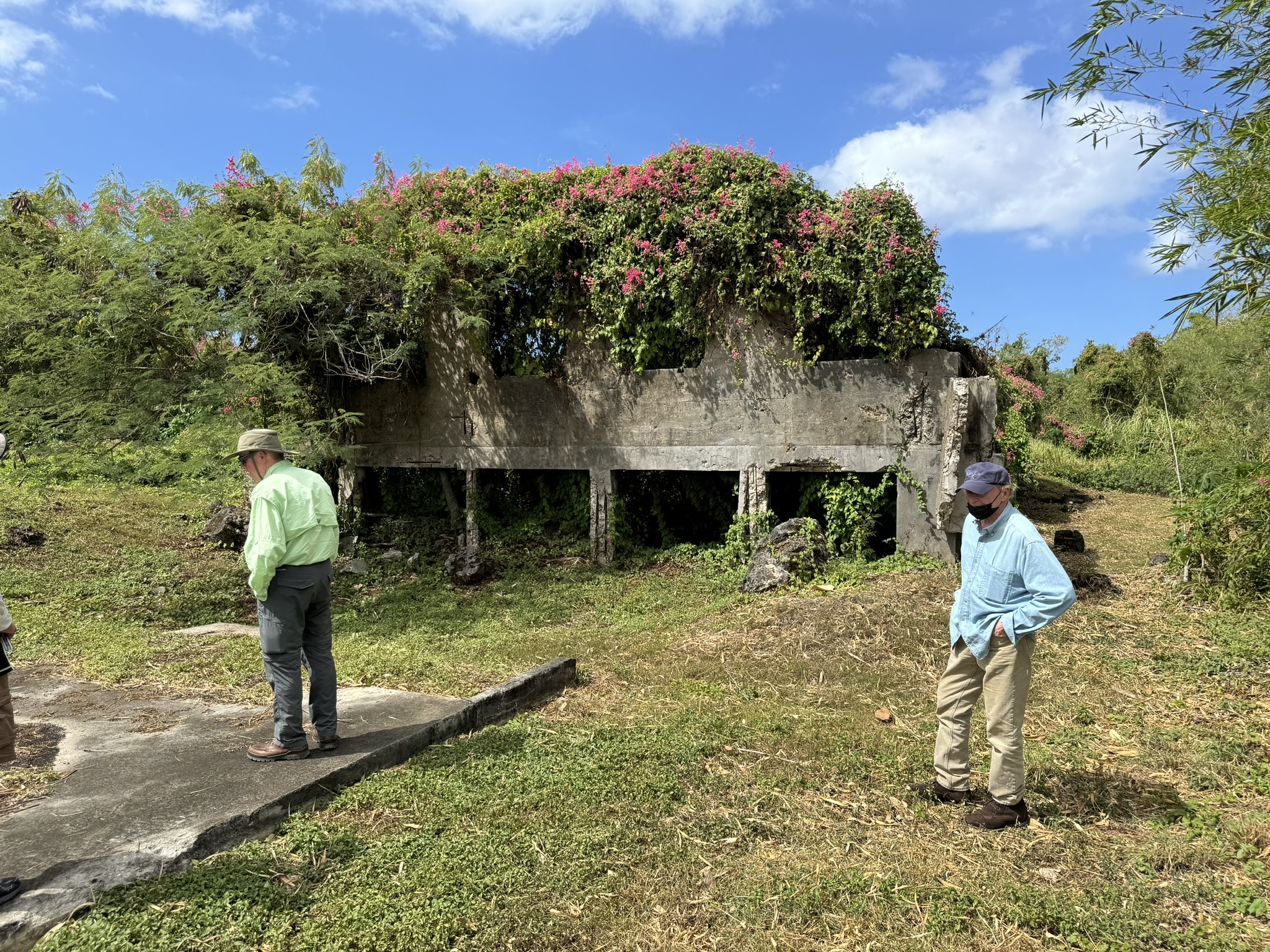
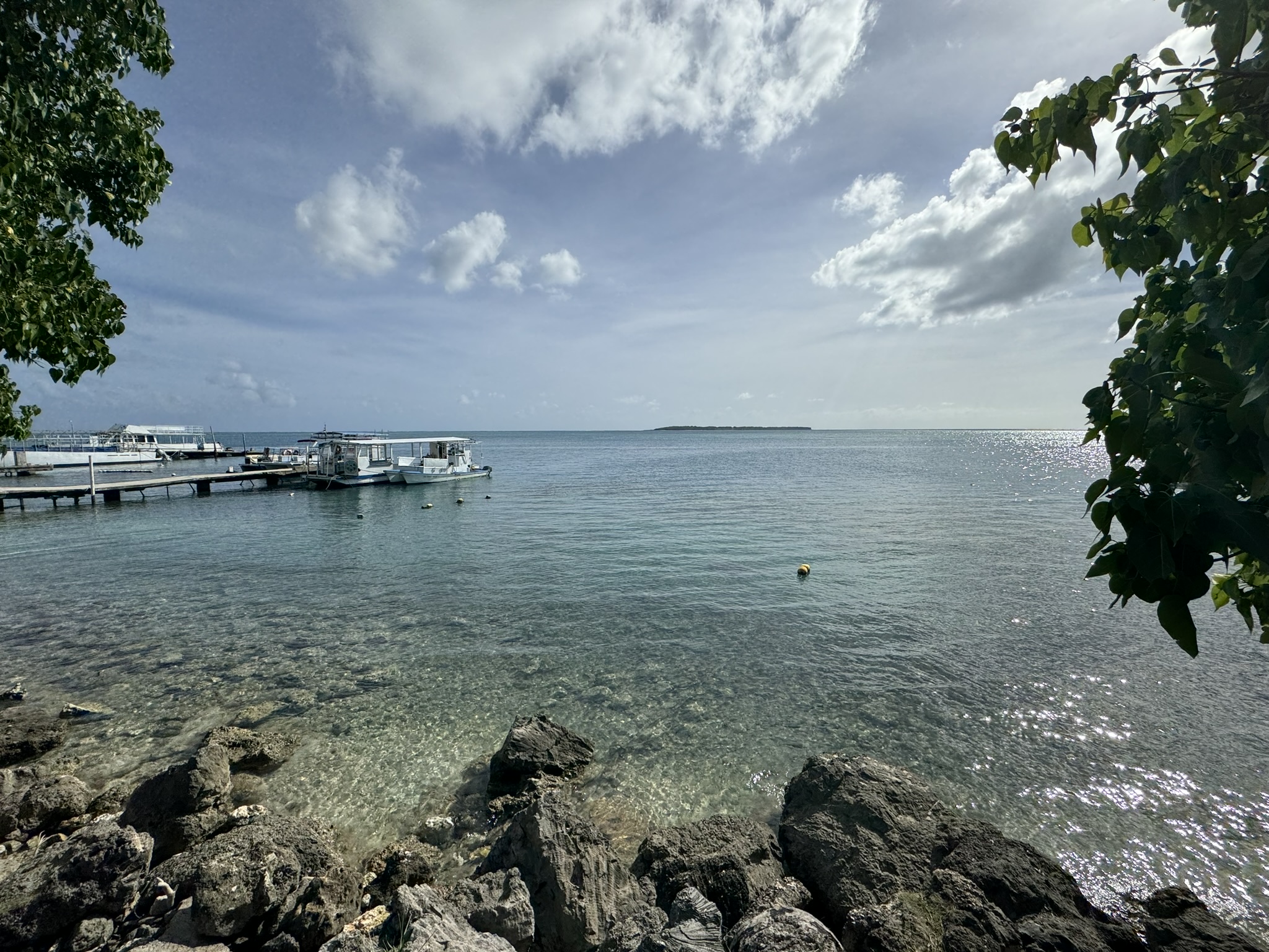
The Navy base is on the Orote Peninsula, a key objective of the Japanese invasion, and we spent the next couple of hours visiting sites in that vicinity. We started at the village of Sumay, which Was the second largest on the island, but is no longer there, only a rather dilapidated civilian cemetery. The village of 2,000 was the first placed bombed by the Japanese on December 8, including the Pan American Hotel. It was destroyed in the 1944 battle and not repopulated. Len talked some more about the defensive plans of the Marines before they were ordered to surrender, trying to establish a defensive line on the rifle range of the base. On a cliff adjacent to the village, we could see caves that had been constructed by Chamorro forced laborers as part of the Japanese defense of the island in 1944. And just over a slight hill was a panoramic view of Apra Harbor, where pre-war Pan Am Airlines Clipper flying boats were hosted, and which became one of the major shipping harbors of the Pacific Theater. We visited the ruins of a building for the management of the international telephone cable, and Len took this opportunity to talk about some of the commercial importance of Guam.
We drove along a small and neglected Japanese airstrip, which led into a much more substantial American runway, which was in good shape, but I don’t believe it’s used anymore. At the time it was designed as a diversion runway for B-29s. This area of the base was also used to house 100,000 Vietnamese refugees in 1975.
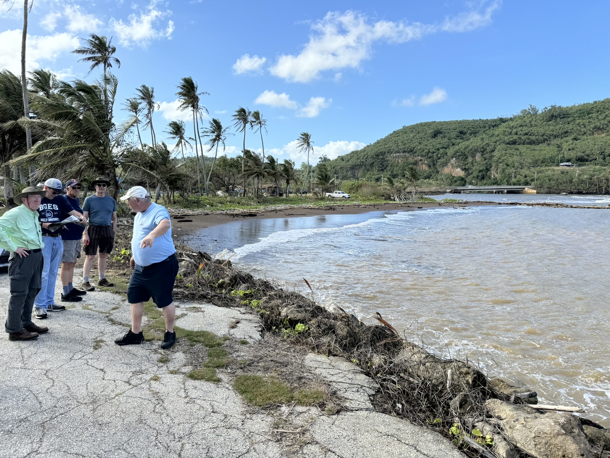
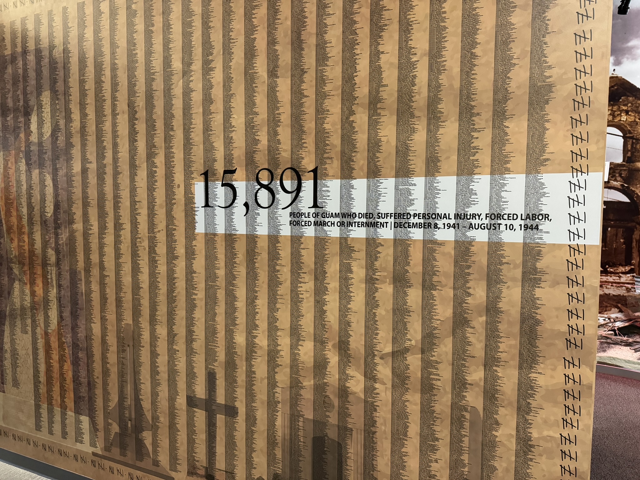
We continued our drive around the southern half of the island. Our next stop was Merizo Beach, near the southernmost part of the island, site of the second of the three significant Japanese landings, from where the troops advanced to seize the Orote Peninsula. Here Len described the cruelty of the Japanese occupation, including their attempt to change the culture of the residents (while somehow accommodating their Catholic beliefs in a Japanese style), and the use of summary executions, rape, torture, slave labor, and forced evacuations to jungle areas (which were called concentration camps, although they were not of the organized type the Germans used during the war).
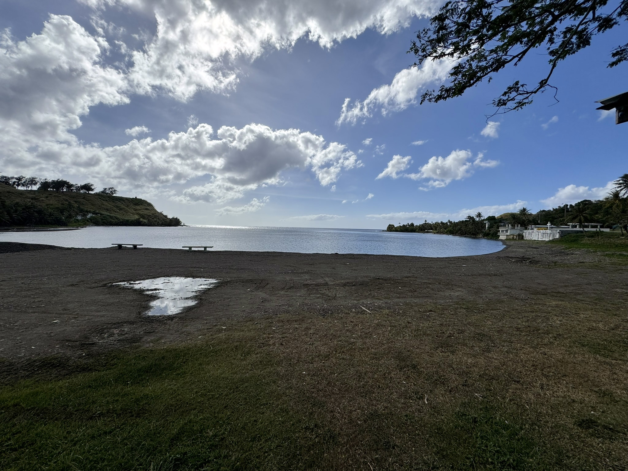
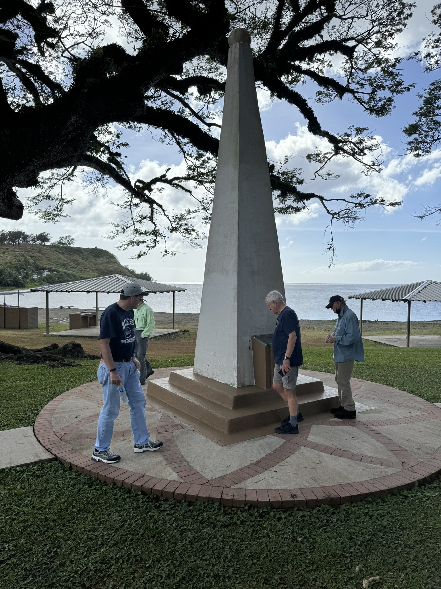
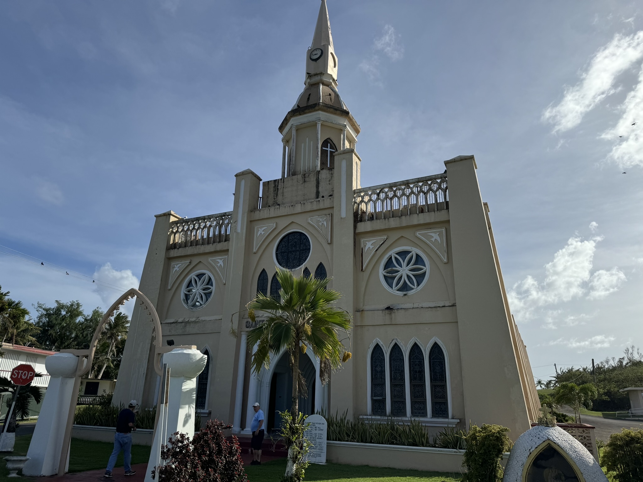
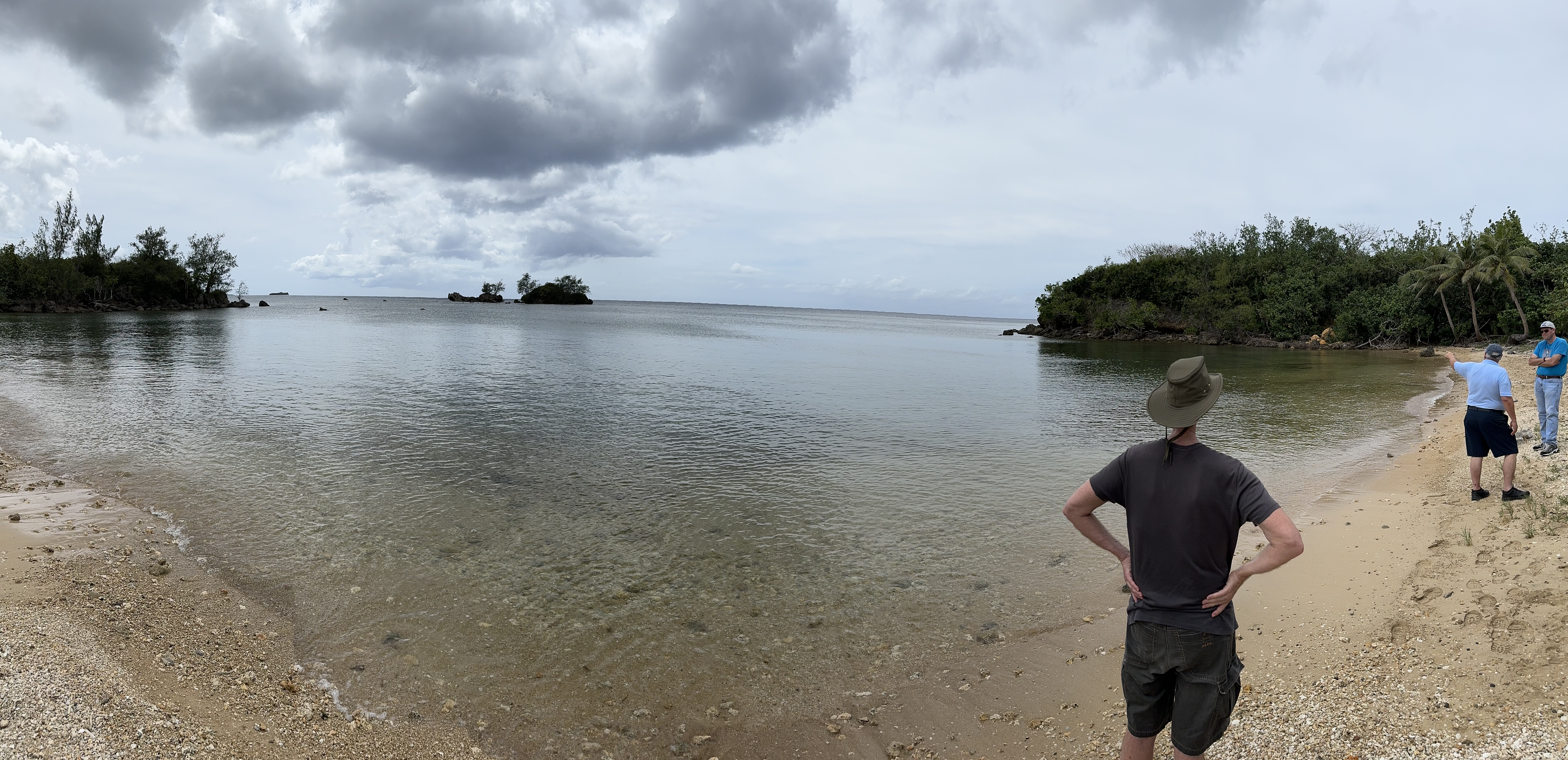
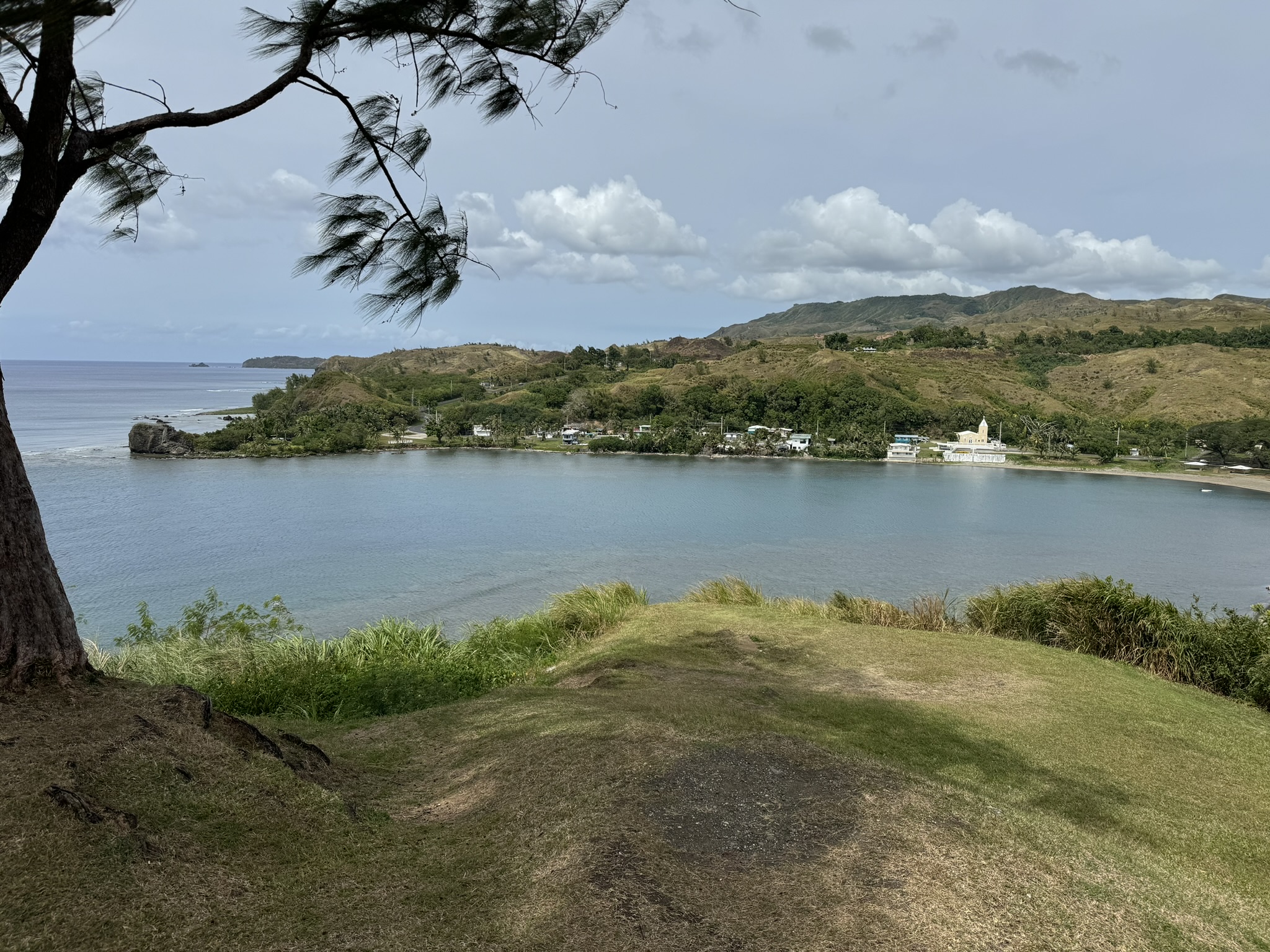
Rounding the bottom of the island, we started back up the eastern side. We stopped briefly at Humåtak, a pretty beach where a monument stands commemorating the landing of Ferdinand Magellan in 1521. (The local teachers’ association created the plaque on the monument, but a little research reveals that historians don’t really know exactly where he landed.) We stopped in the village of Inarajan, where Saint Joseph’s Church houses the remains of Jesus Duenas, a priest who was tortured and beheaded by the Japanese because he refused to reveal the location of George Tweed, the only American who was able to escape from the Japanese invaders. Unfortunately, the church was locked and we could not see inside. Our final stop was Talofofo Bay, the third of the three major Japanese landings; this group crossed the island toward the capital, Agana. Returning to the hotel, a few of us went out for dinner and selected a nearby resort hotel restaurant, the Beach Grill, which turned out to be very good. Perfect weather on a beautiful beach.
Wednesday, February 7 — Guam
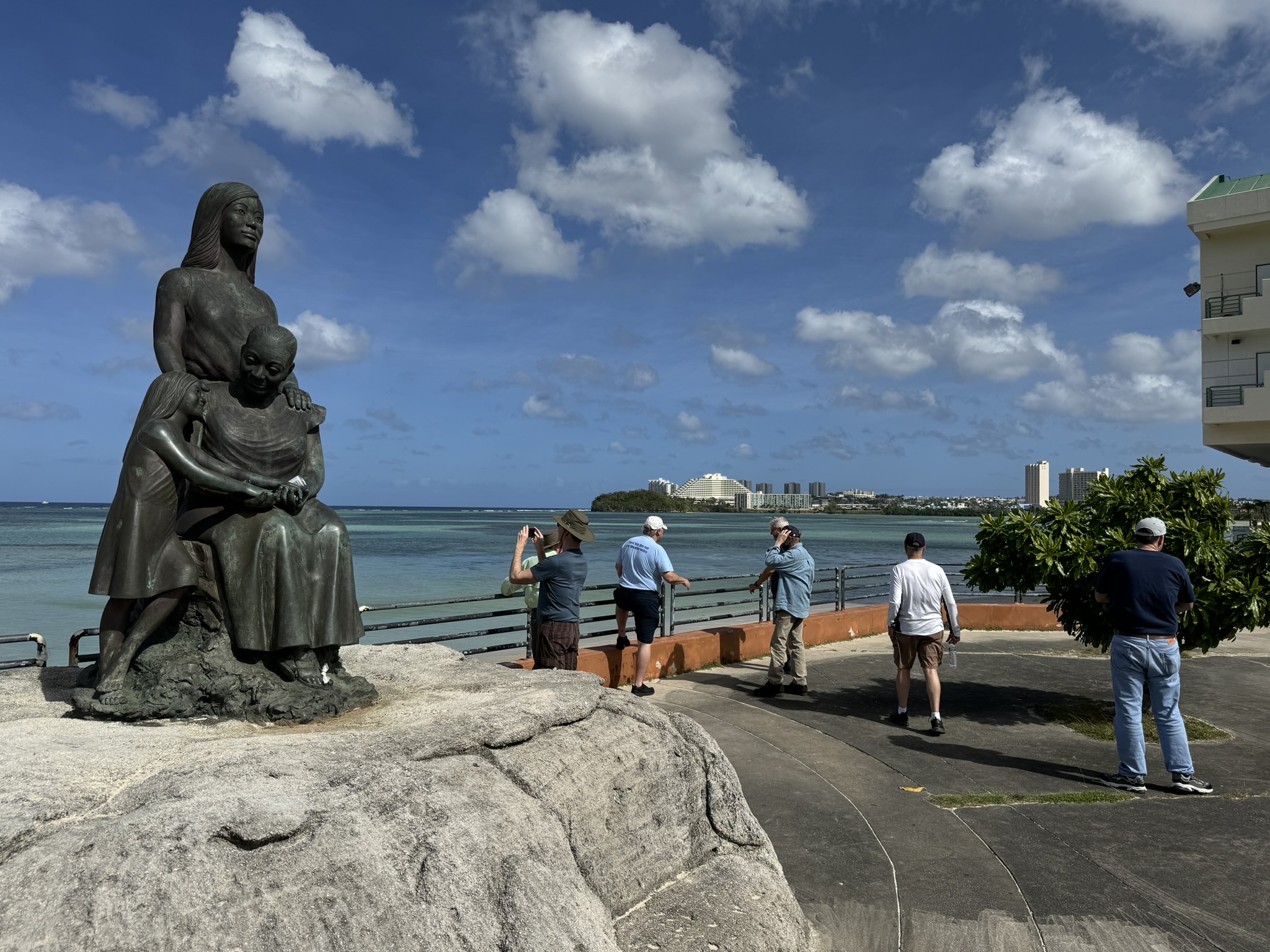
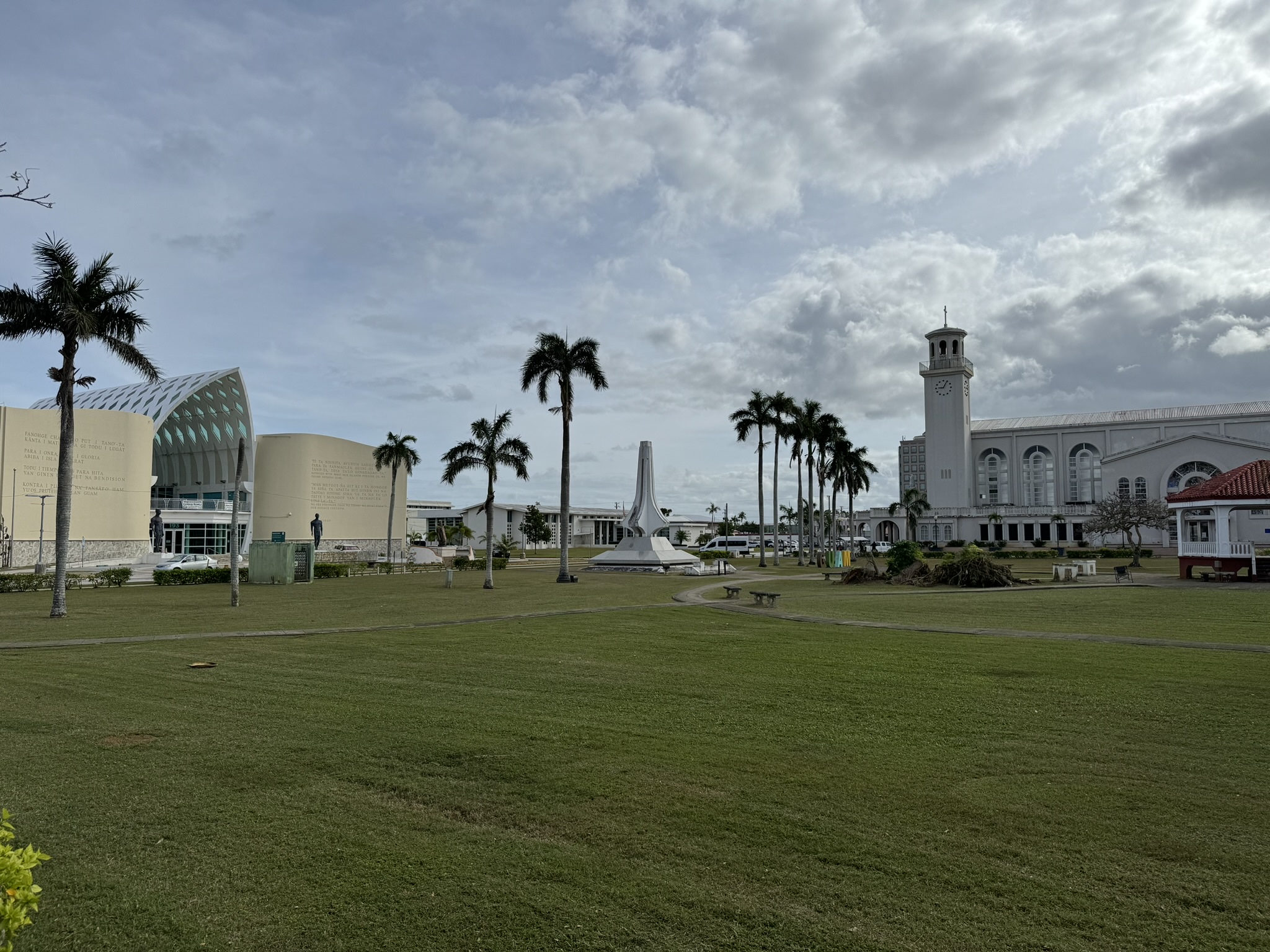
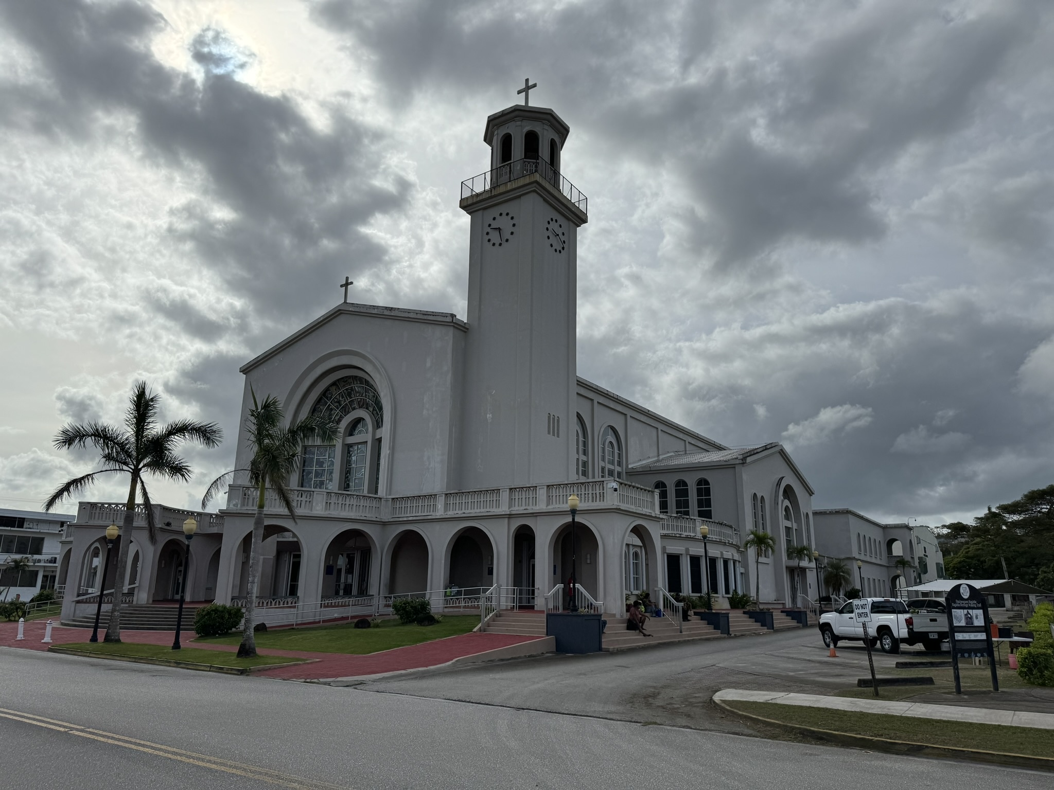
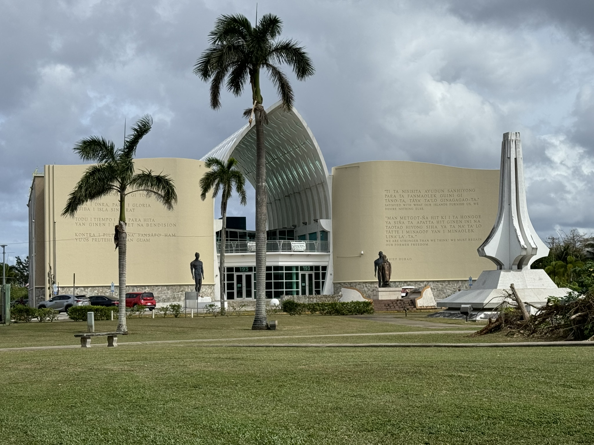
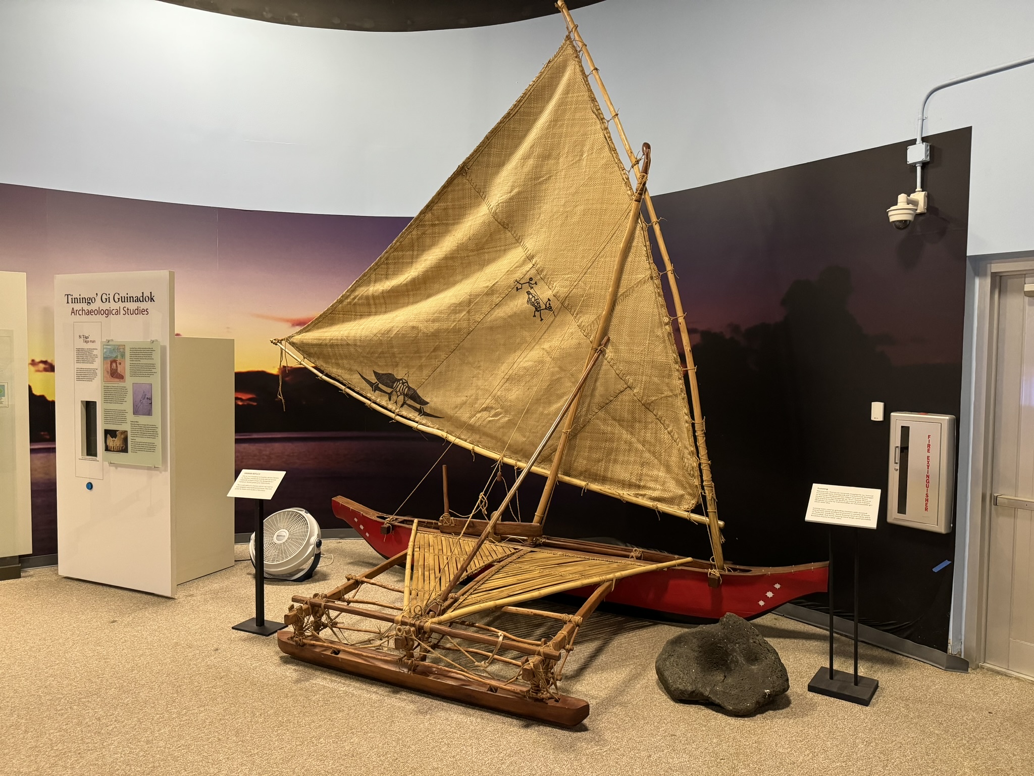
We drove to Agana and were let loose in the city center for a while. We walked through the Plaza de España, where there was a brief firefight between the Japanese and the Insular Guard and a few Marines, and where the formal surrender of the island took place. The Dolce Nombre de Maria Cathedral–Basilica is a pretty building that we hoped to enter, but it wasn’t opened at the designated time. It was funny to see signs that said we had to enter the church through the gift shop. There is a large Guam Museum on the main square that was quite interesting, with lots of background about the native inhabitants going back 3500 years, as well as histories of the various colonizations, World War II, and the modern era as an American territory. There were a few instances in which anti-American sentiments seeped into the displays, such as resentment about the cultural changes after the US took possession after the Spanish American War, and more recently current federal voting arrangements. All of the text was bilingual with the primary language being Chamorro (or the native spelling CHamoru, including those two capital letters) and English second. One interesting tidbit that I picked up was that after the war 63% of the island’s area was owned by the military, and it is 28% today. Another is that Guam is formed from two volcanoes, which is why the northern and southern parts have dramatically different topologies separated by a narrow saddle.
We went back to the Naval Base Guam with the intention of having lunch at the base Wendy’s, but a kerfuffle ensued when the military police would not allow us to enter because we did not all have military IDs. This is in contrast to the half dozen or so military installations we have entered with impunity over the last few days including this very one just yesterday. Later in the afternoon we got the same treatment at Andersen Air Force Base, so we surmised that the Cope North exercise had ratcheted up entrance security. So Wendy’s loss was the gain of Pizza Hut just outside the gate. (Our loss was the heavy calorie count for mediocre pizza. On this international trip I have had more American fast food than I usually have back in the states.)
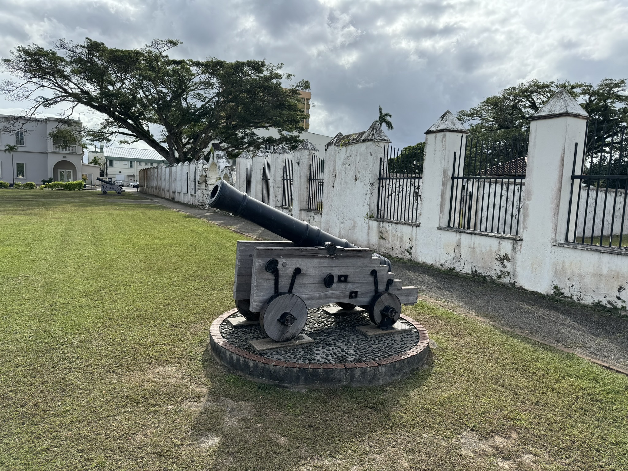
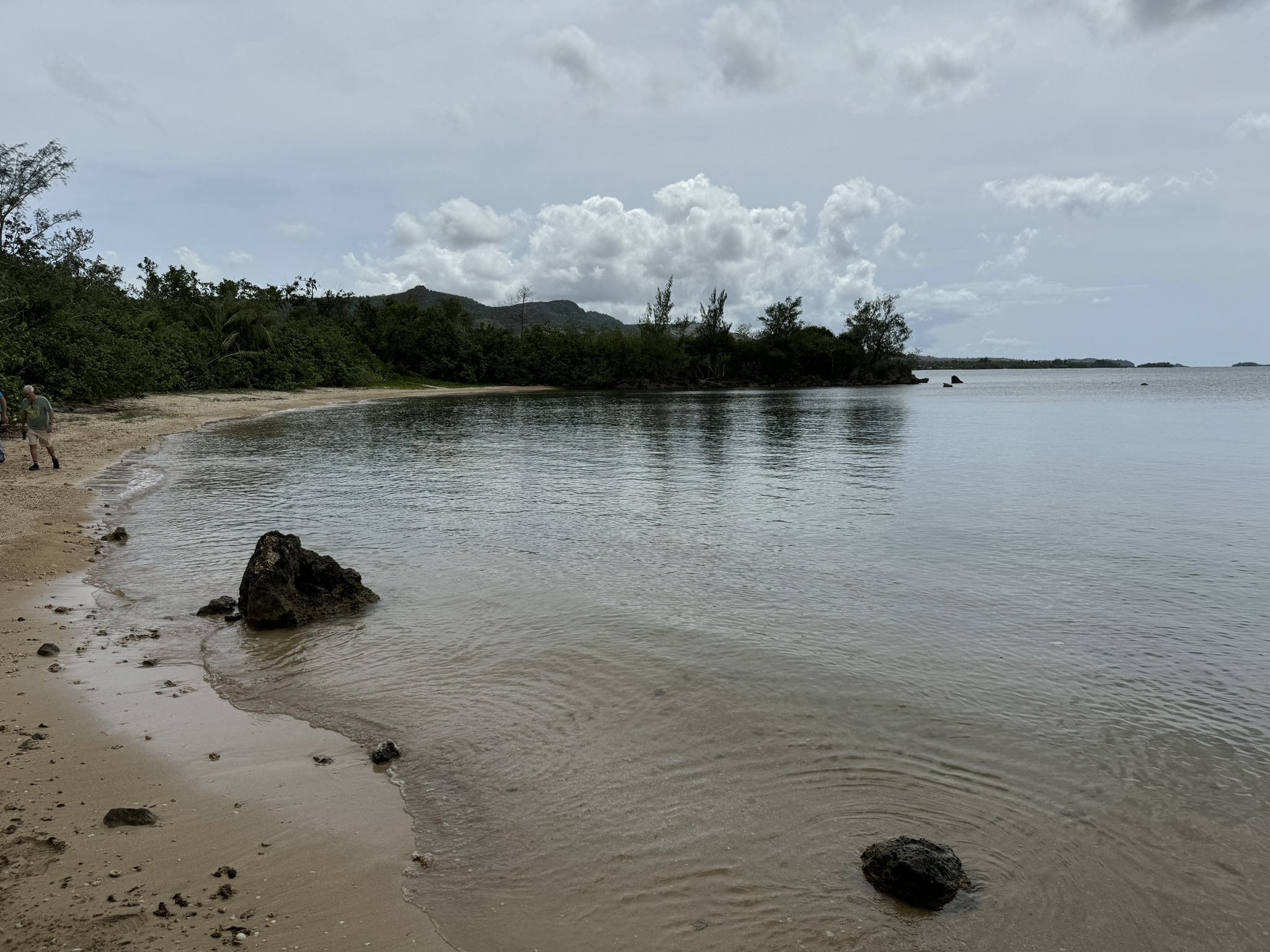
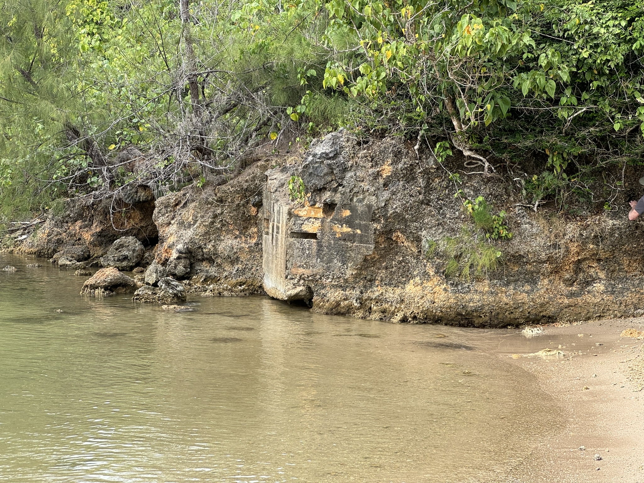
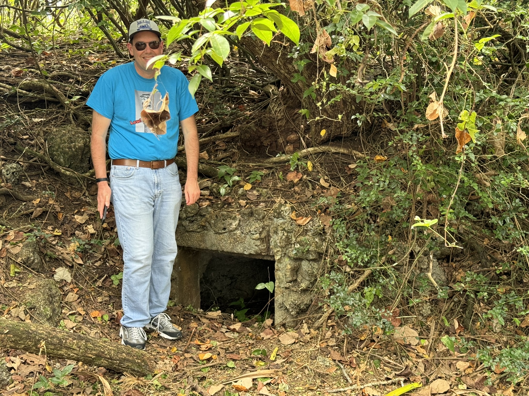
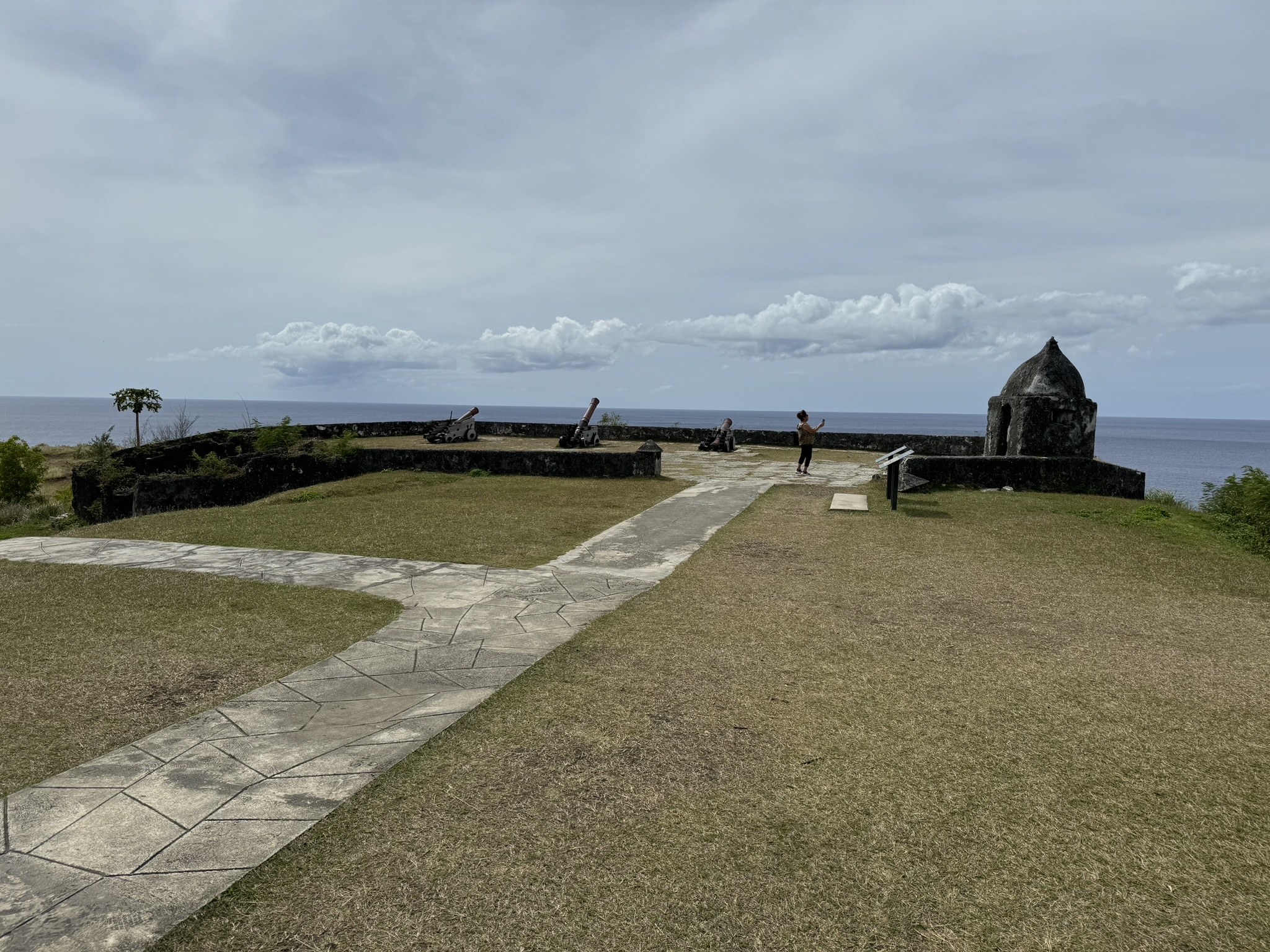
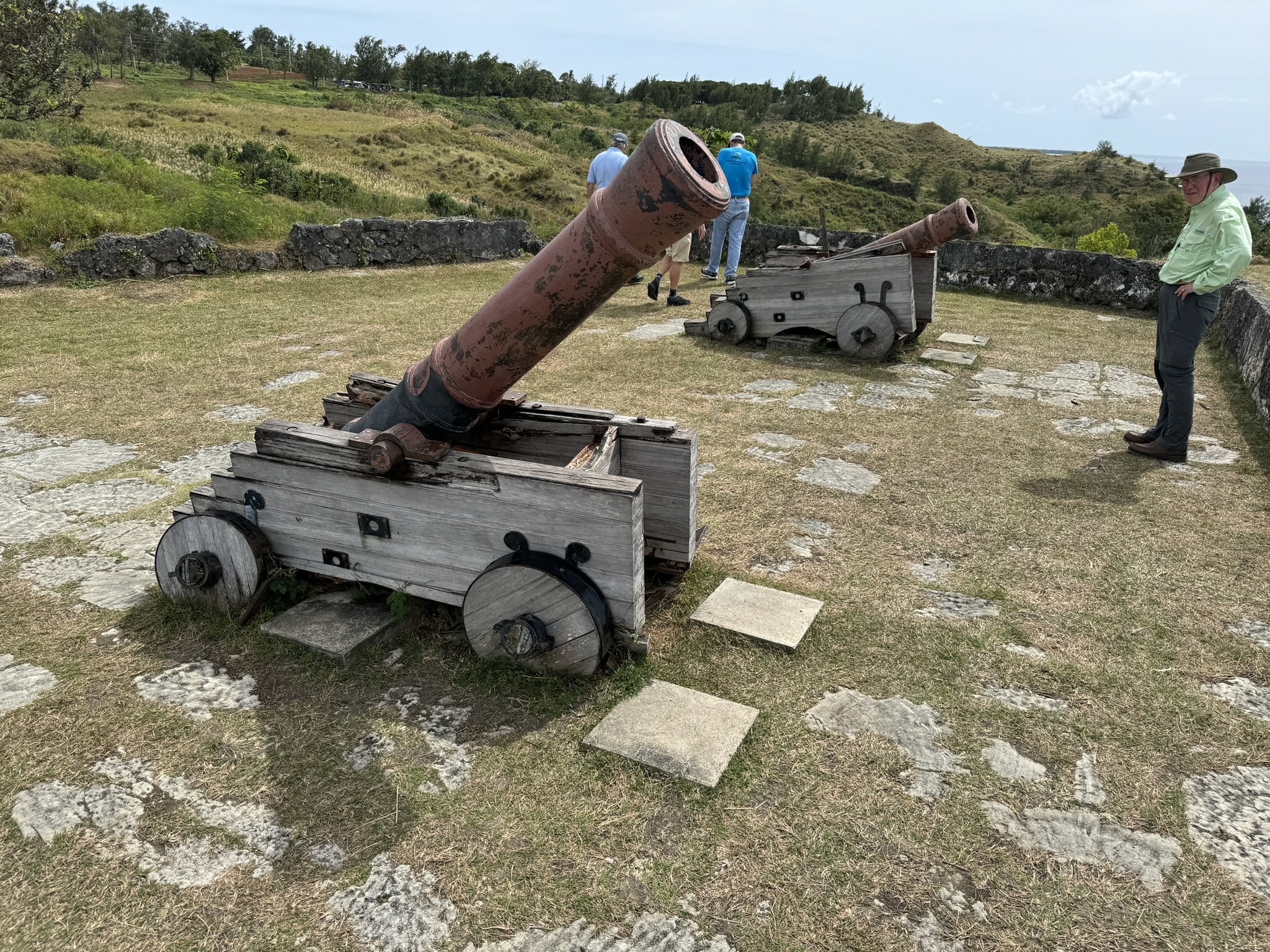
We resumed our look at the Japanese occupation and their preparation of defensive capabilities. We went to Apaca Point, part of the 1944 Agat US landing area south of the Orote Peninsula, and saw the ring of defensive positions, including caves and a bunker/pillbox overlooking the lagoon that was connected to a small concrete entranceway a number of yards inland. Then we drove down to the southern part of the island and returned to Humåtak, the inlet where Magellan supposedly landed, and went up the hill to see Fort Nuestra de Soledad, which the Spanish built in 1810, but had no World War II significance. The view was certainly nice.
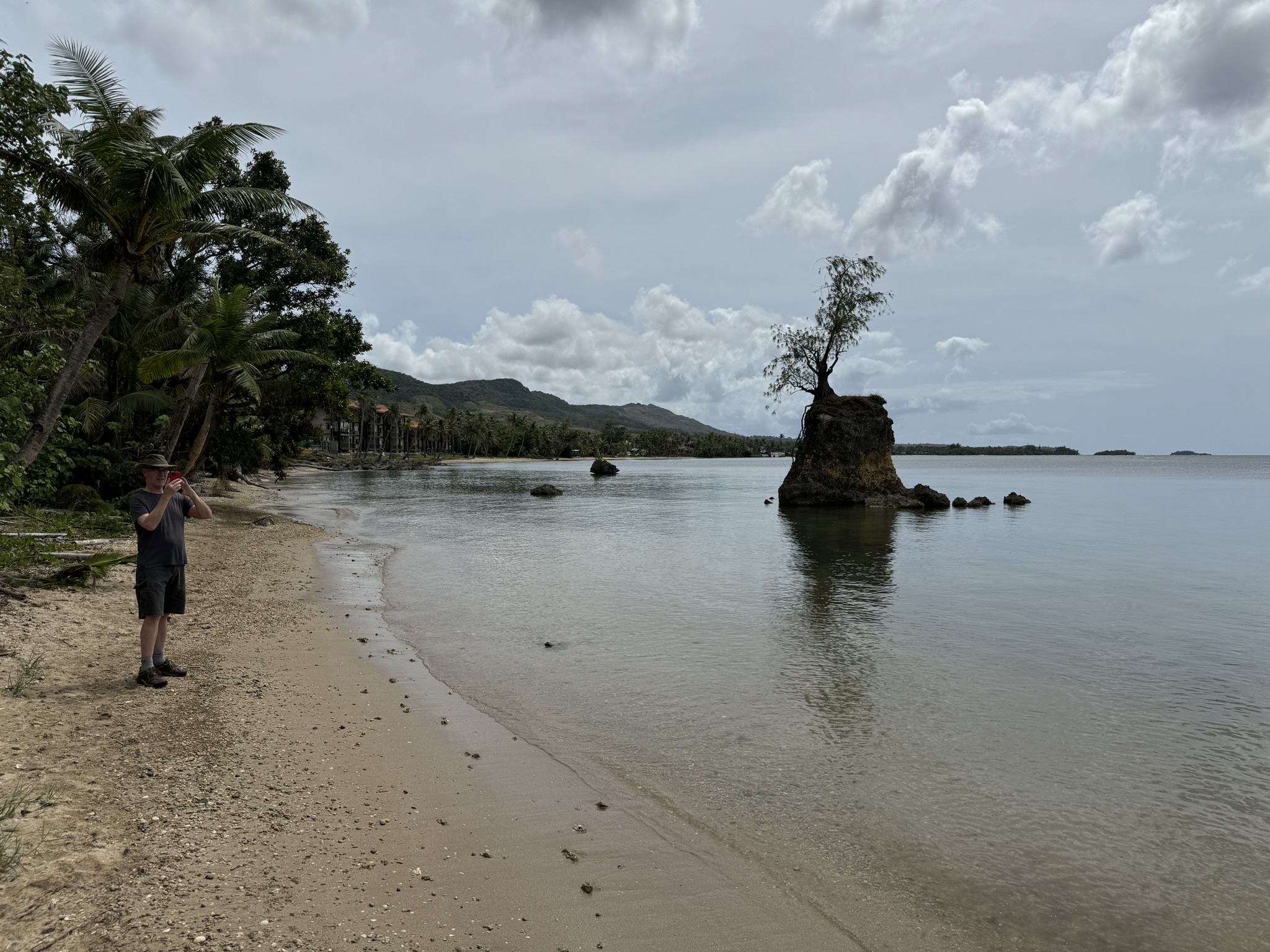
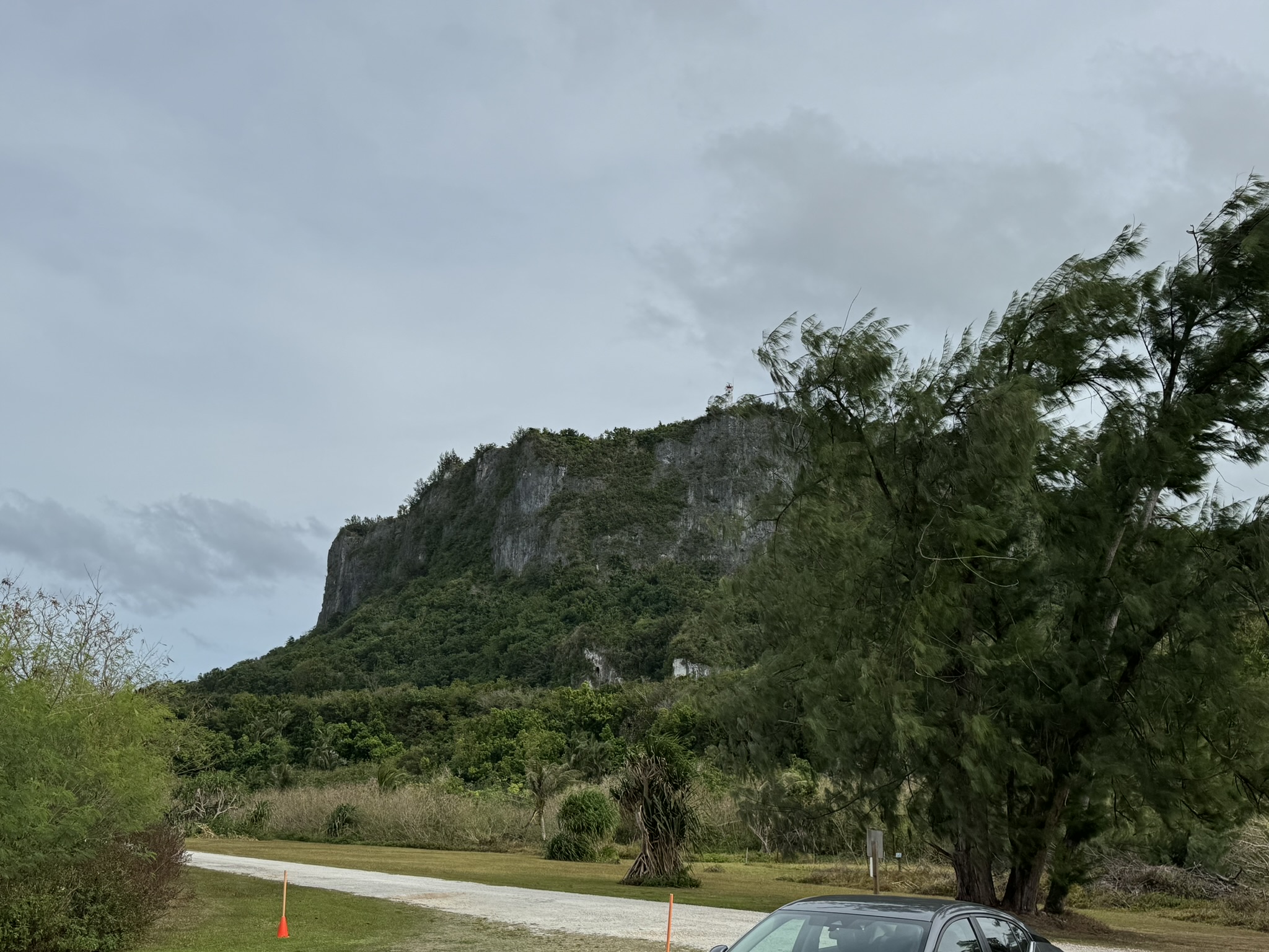
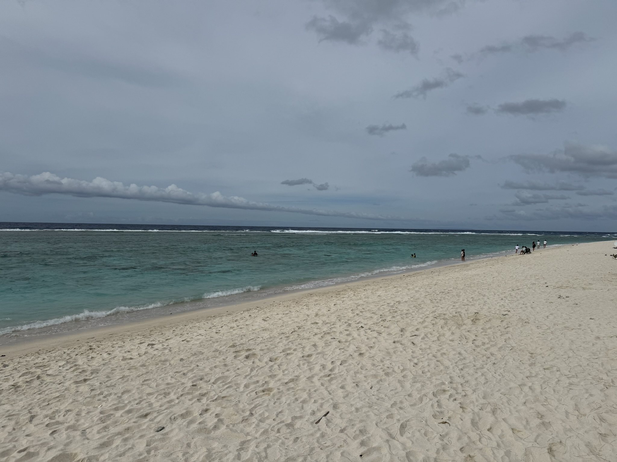
Finally, we traversed the entire length of the island, driving all the way north to Ritidian Beach, where ten Japanese scouts (actually Chamorros sent from Saipan) landed on December 9. We discussed this on a very nice beach as we watched some people snorkeling. We admired Ritidian Point itself, a sheer cliff a few hundred feet high. On the way we saw a large construction project for barracks that will house Marines no longer stationed on Okinawa, and the North Airfield used during the war. Then we attempted to refuel our cars at Andersen Air Force Base, with the result I mentioned earlier, but got more expensive civilian gas near the airport and drove back to the hotel. After a long day I considered taking a short hike to the beach for a swim, but decided I didn’t want to deal with a wet bathing suit the night before departure. A few of us went out looking for a restaurant and found an Italian place for pasta and hero sandwiches. The menu must have been a dozen pages with so many pictures and language versions.