2018 Civil War Travelogues — BGES 25th Anniversary Weekend
Welcome to my 2018 travelogue pages. This page is my report of the 25th Anniversary event of the Blue and Gray Education Society (BGES) in Virginia. (This was my 13th outing with BGES.) To see the entire list of my 2018 trips, go here.
| Here is a reminder about the reason I write these pages the way I do. They record my experiences and impressions of Civil War trips primarily for my future use. Thus, they sometimes make assumptions about things I already know and focus on insights that I receive. They are not general-purpose descriptions for people unfamiliar with the Civil War, although I do link to various Wikipedia articles throughout. Apologies about the quality of interior photographs—I don't take fancy cameras with big flashes to these events. If you would like to be notified of new travelogues, connect to me via Facebook. |
Thursday, April 5
United Airlines to Dulles, 2+ hour drive to the Hyatt Place in Chester, VA, in the Bermuda Hundred area north of Petersburg.
Friday, April 6
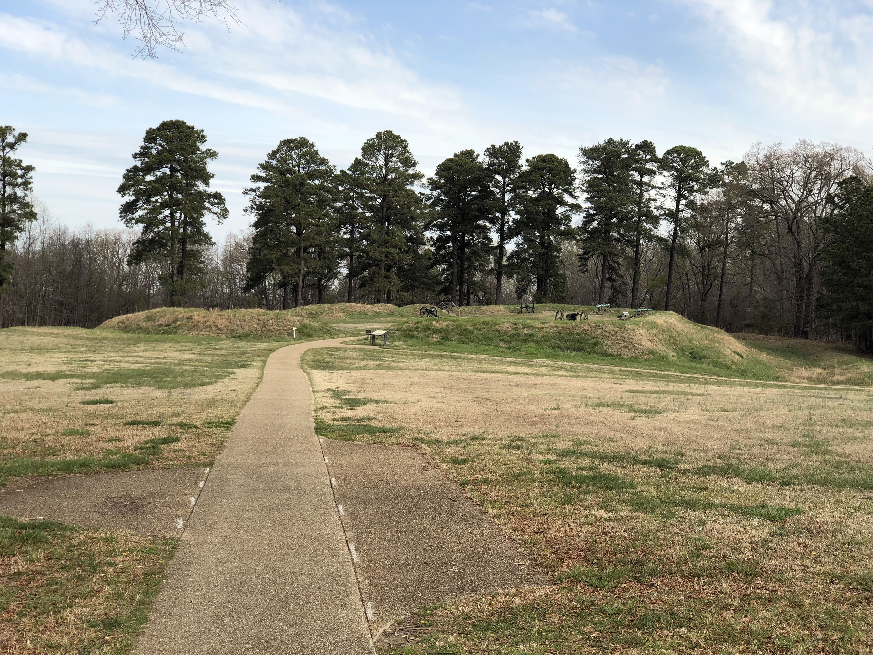
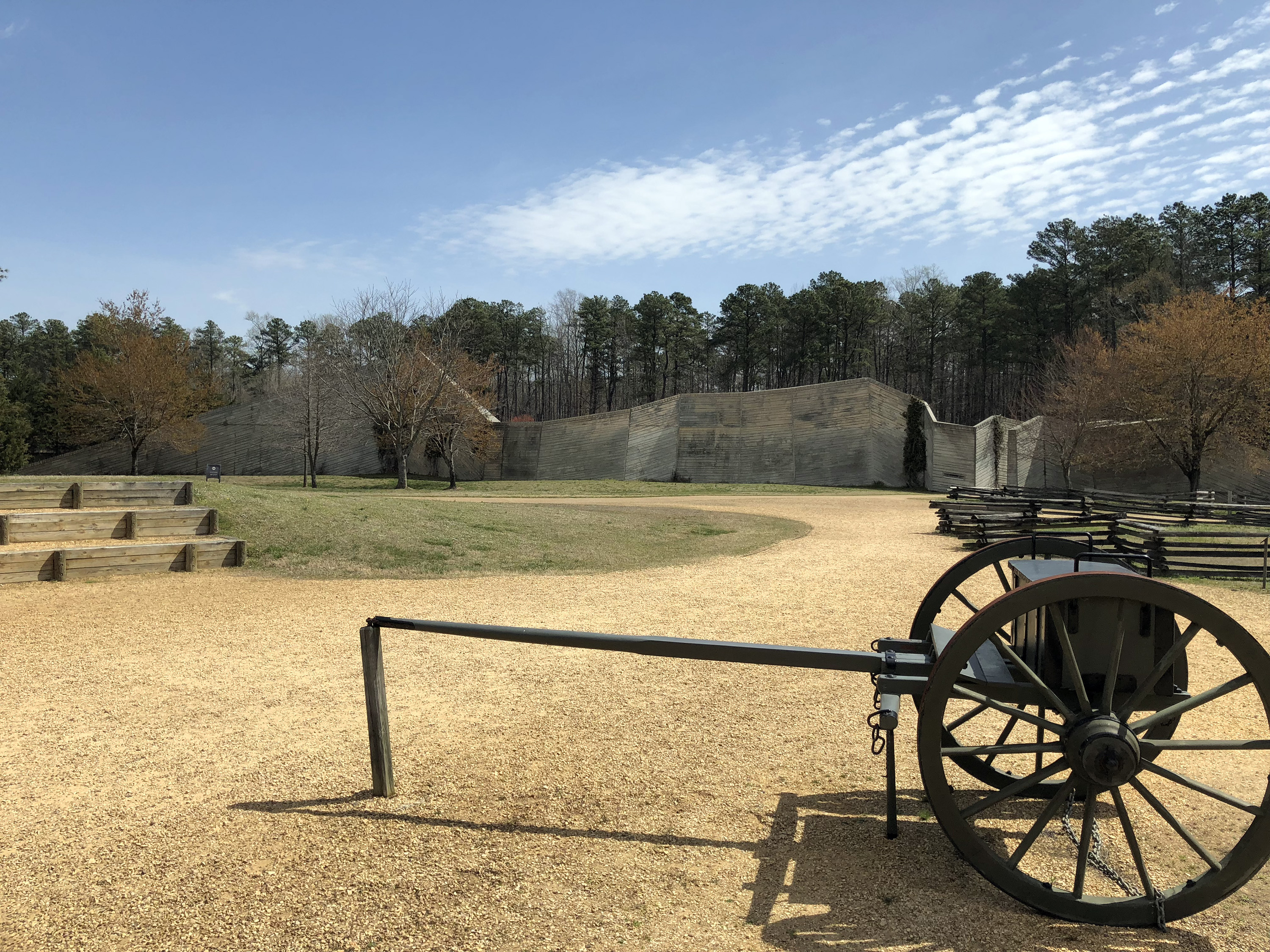
It’s the 156th anniversary of the Battle of Shiloh! The BGES event didn’t start until 1 p.m., so I had a morning to fill. I drove to the Petersburg battlefield visitor center, watched the movie—pretty decent—and checked out their bookstore, which was well stocked with Petersburg books, including four for which I created the maps. I strolled out to Confederate Battery 5, just outside, and then drove along the park road to Fort Stedman. (I skipped over the Crater because I have been there for extended visits multiple times.) From there I followed what they call the “Western Front” tour and stopped at Fort Wadsworth, near Globe Tavern, and Fort Gregg. This latter one was certainly understated for its symbolic importance as the “Confederate Thermopylae”; you get to the parking lot and there are no signs pointing to the fort, which is about 1/3 mile off in the distance in a large field. After hiking out, there is a single sign. The earthworks seem in good shape and could probably use some more publicity.
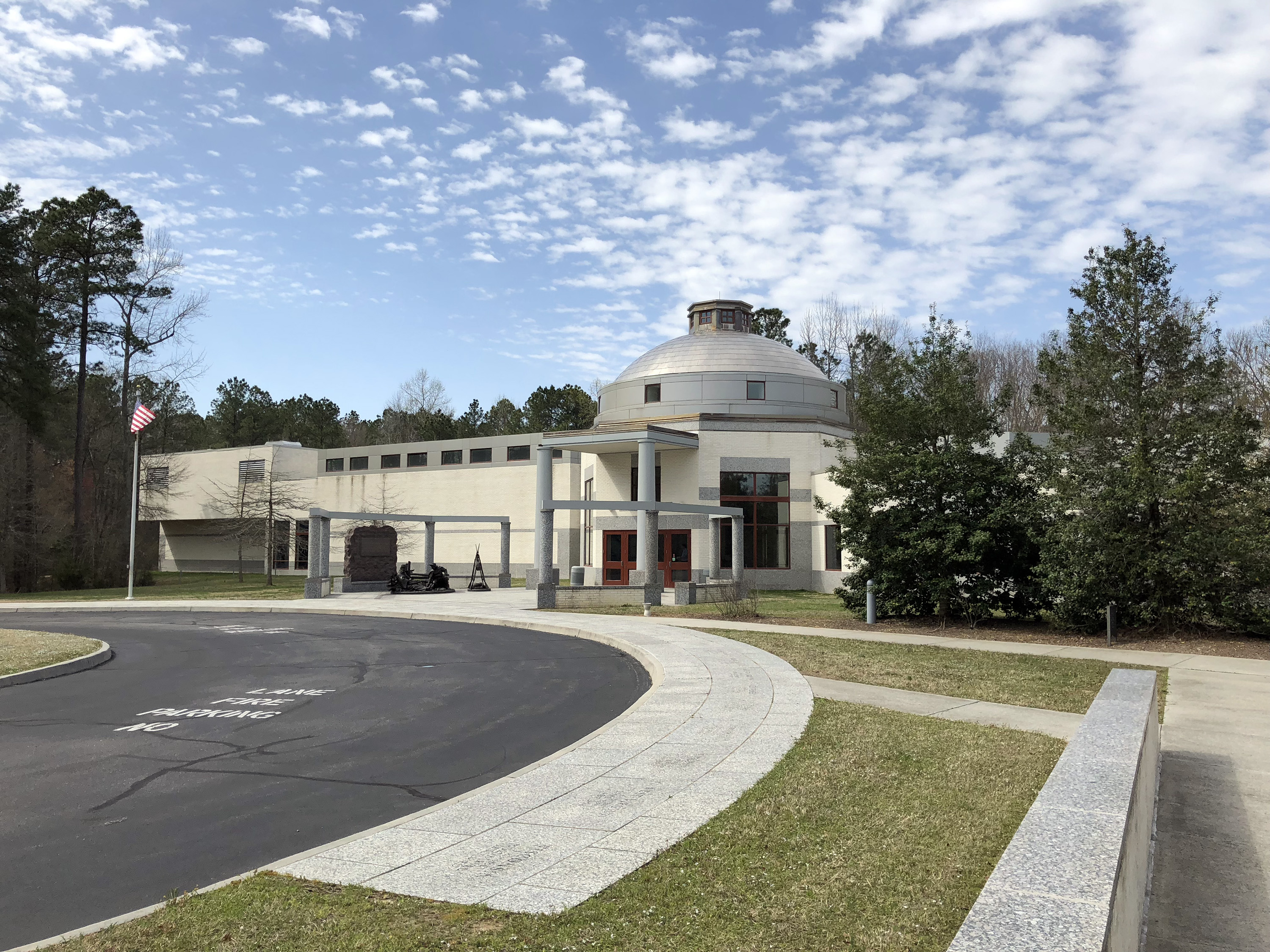
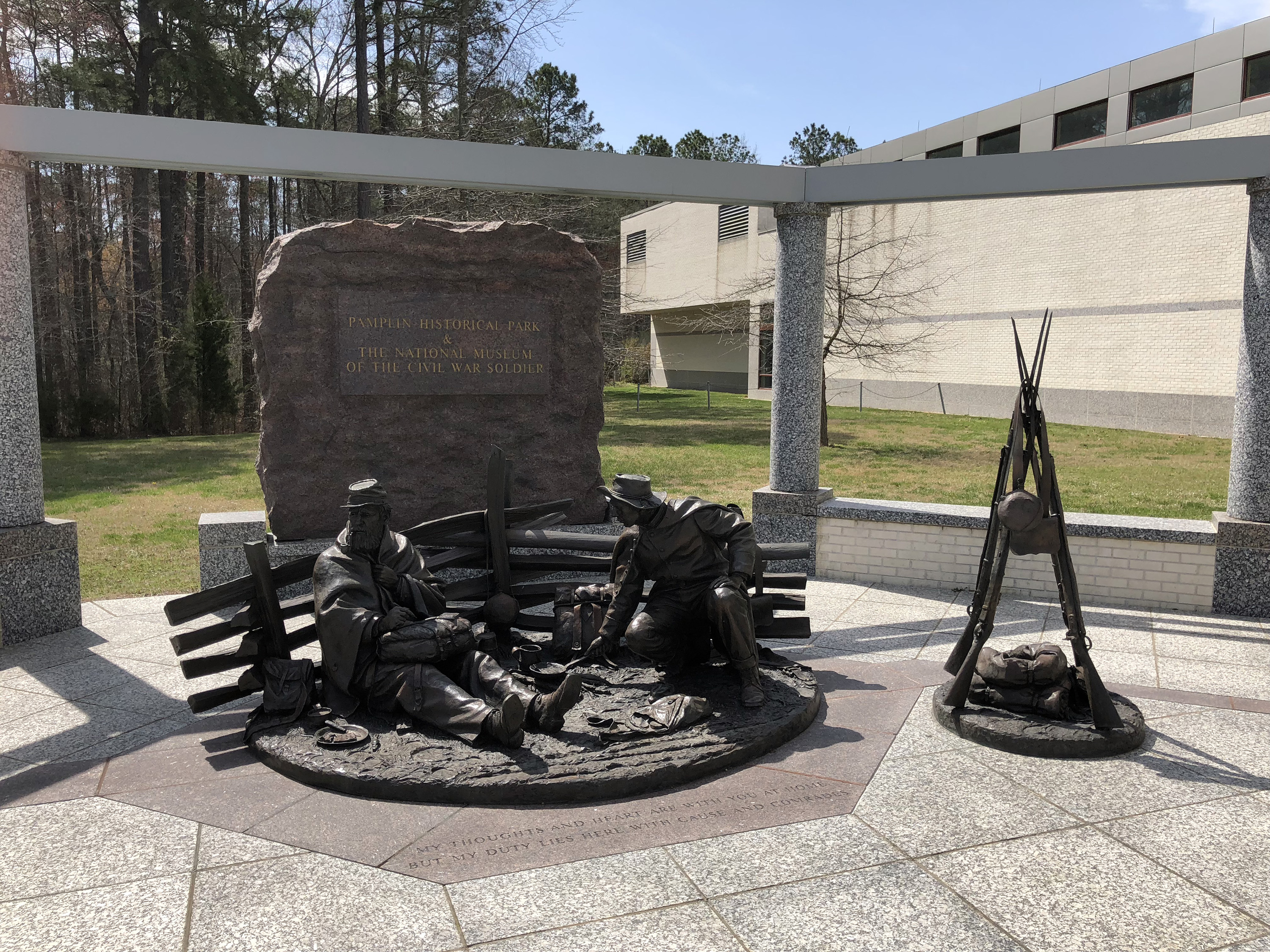
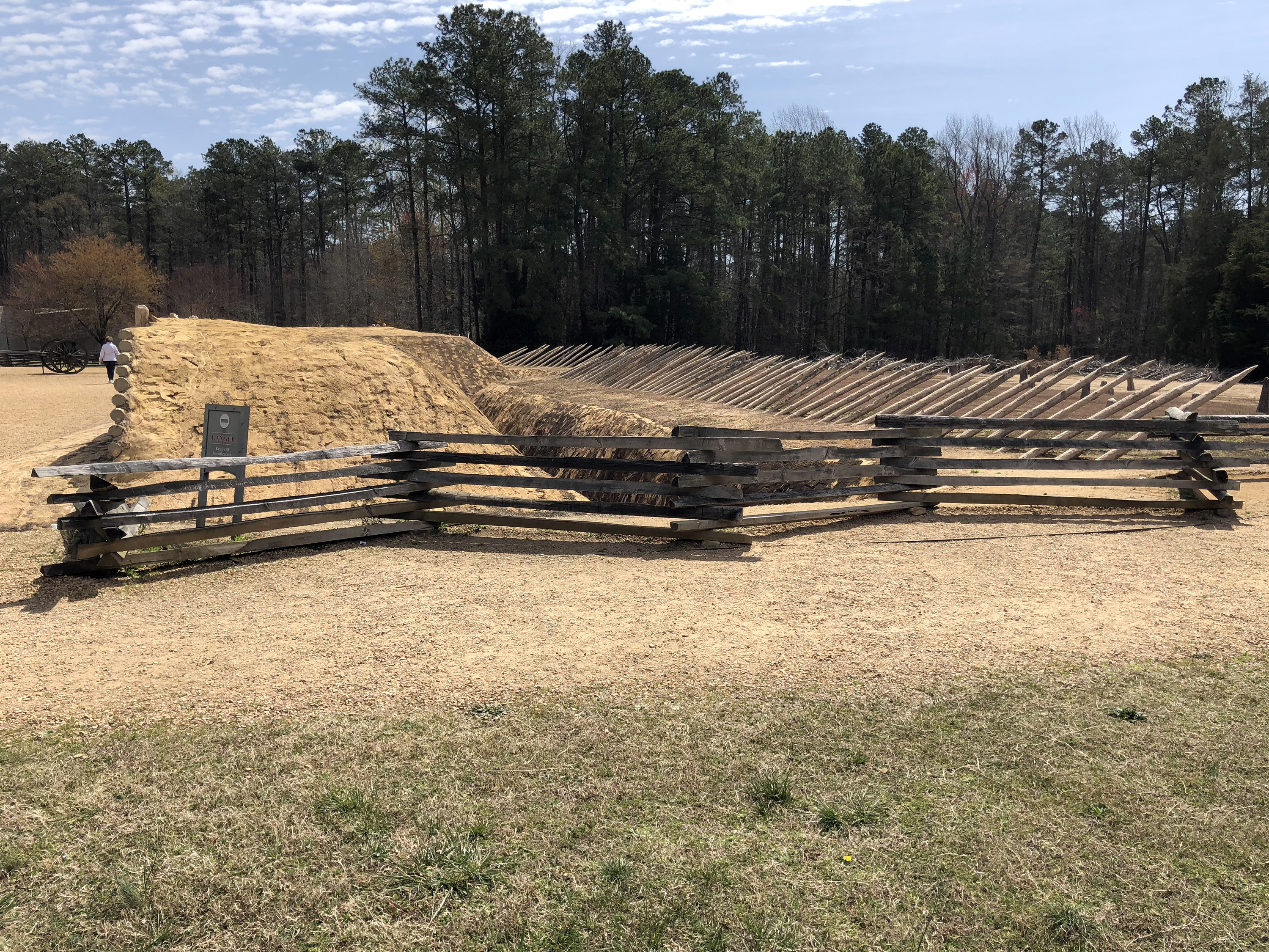
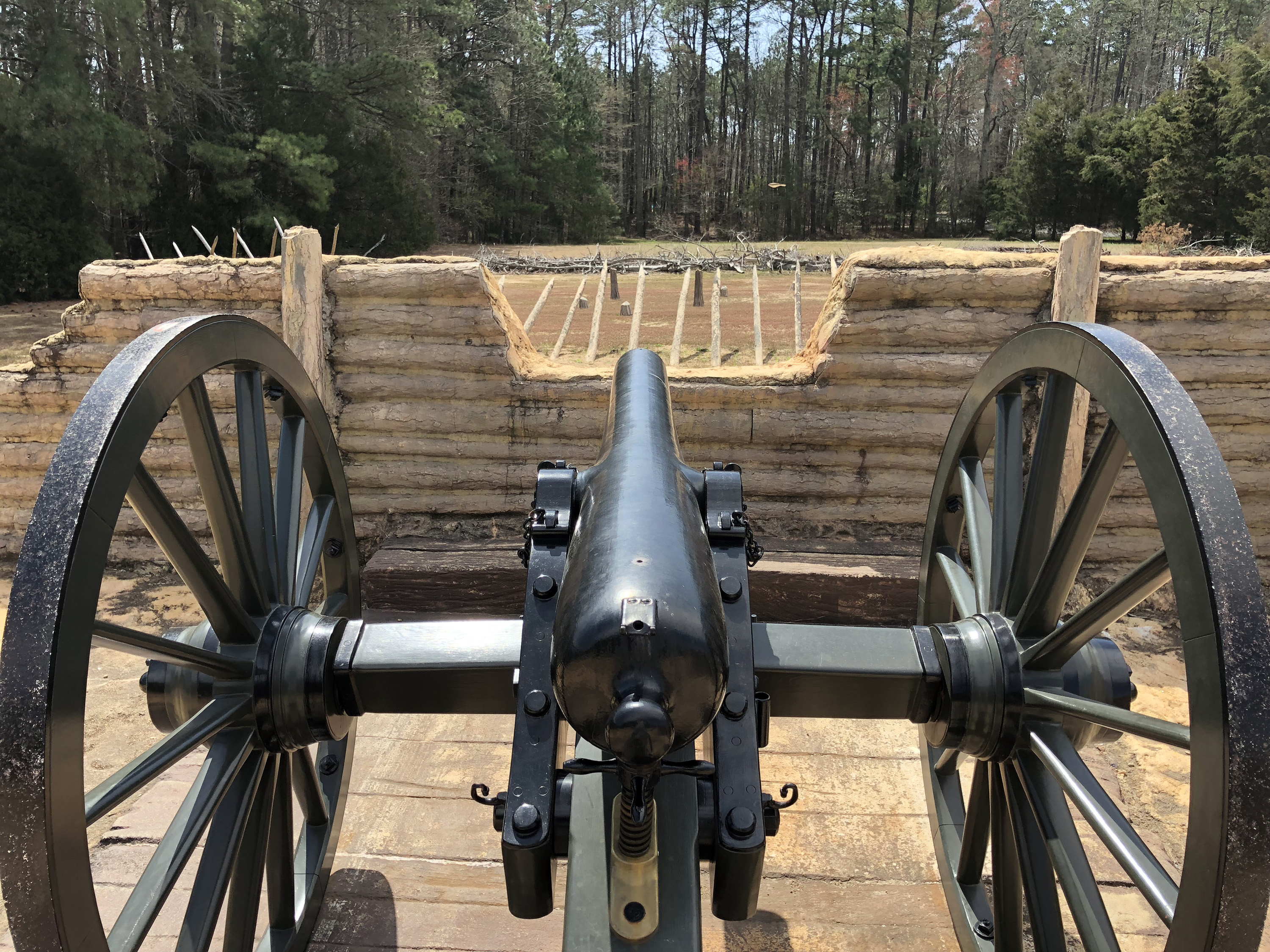
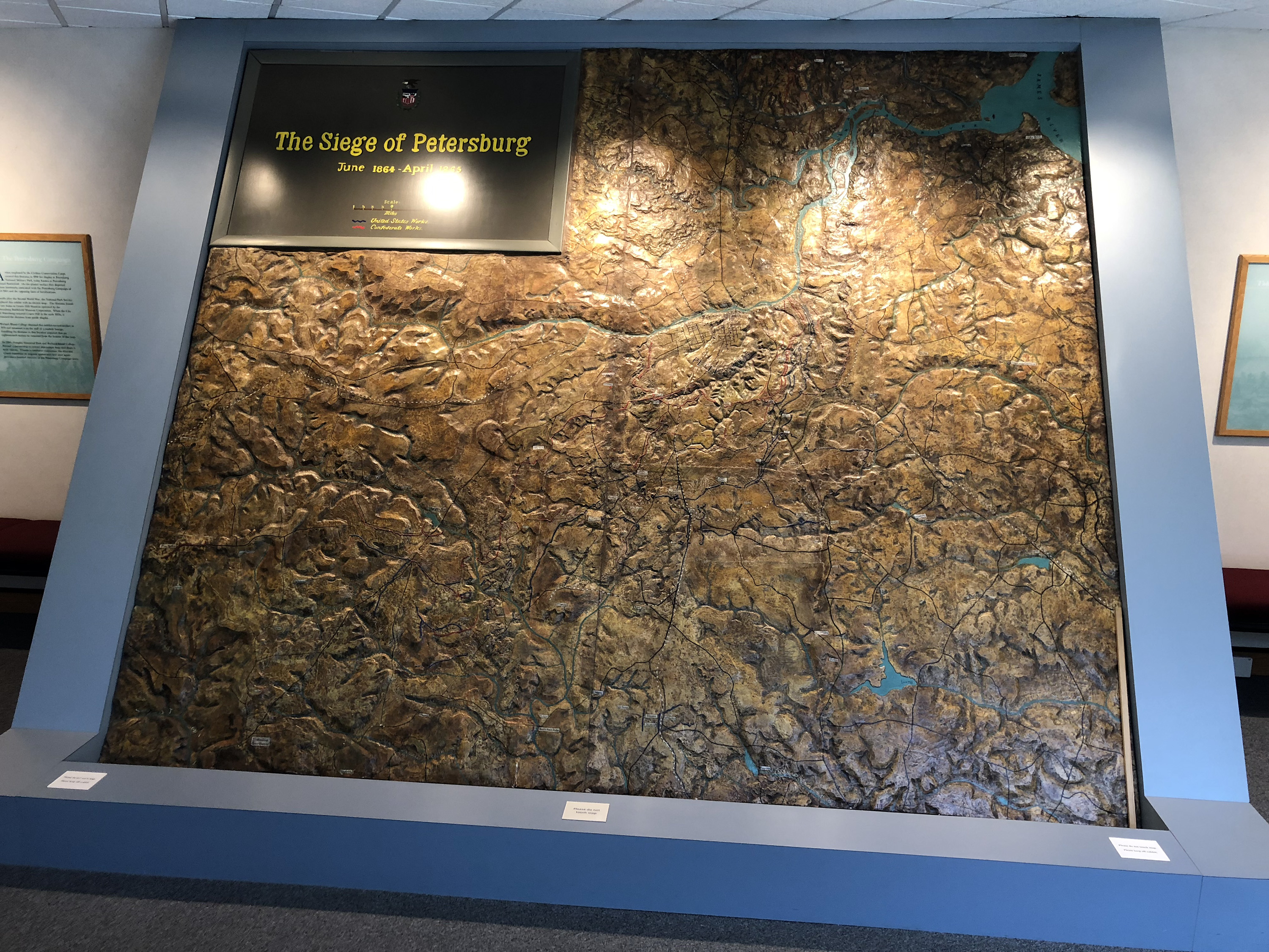
I drove to Pamplin Park and got a free entrance pass as a BGES attendee. I went through the Civil War Soldier Museum, which is very well done (although I am less interested in soldiers’ lives than I am in strategy and tactics and things that can be mapped). The separate Battle Center building has some interesting exhibits about the Siege of Petersburg. Oddly, they don’t talk about any actions before August 18, and I’m also not surprised that they pretty much ignore any part of the campaign north of the James River. Then I walked the Main Loop around their own battlefield, the Petersburg Breakthrough of April 2, 1865. It’s a little disorienting because you walk south through the Confederate lines—superb earthworks (I wonder if they were enhanced by the CCC or somebody)—and then turn around to follow the Union attack. I, of course, think of all battlefields with North pointing up, so everything seemed backwards. The terrain is more imposing than I had thought, even though I have mapped the area thoroughly.
The BGES program started in the park’s education center classroom. We had an introductory speech by BGES Executive Director Len Riedel and then three lectures, each involving BGES projects. I was amused to note that this “25th Anniversary” is actually for a group started 24 years ago. Len considers this the start of the 25th year. This is like going to a wedding and the bride and groom announce that today is also their first anniversary.
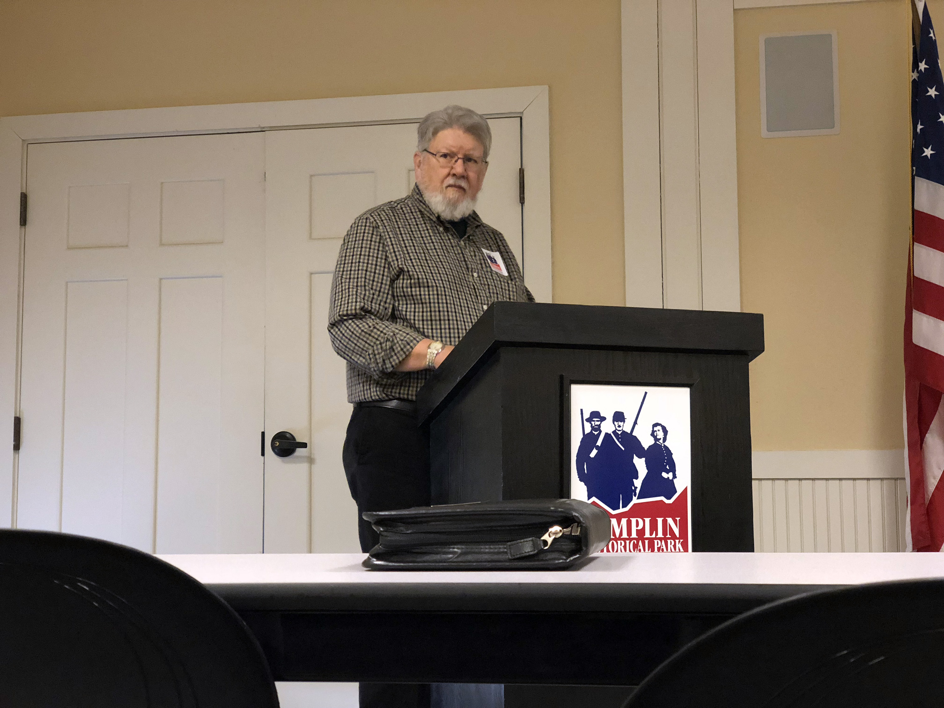
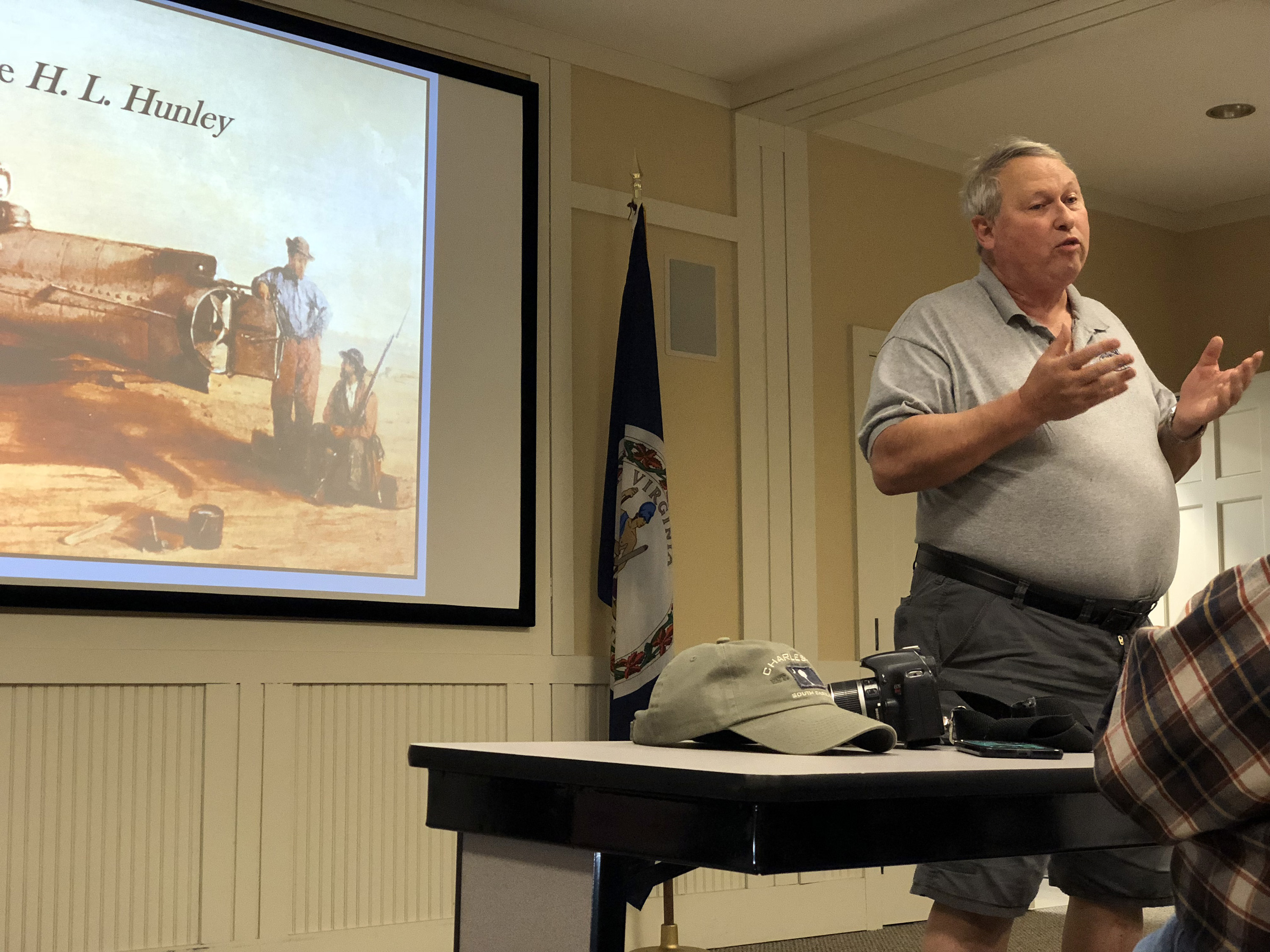
Rick Hatcher, retired park ranger from Fort Sumter, talked about the history of the H.L. Hunley submarine. (BGES contributed funds to a burial parade for the sailors whose bodies were recovered.) He covered the bio of Horace Hunley himself and the first two boats he created, in New Orleans and Mobile—Pioneer I and II. He described the history of military operations against Charleston. Hunley’s third boat, “Fishboat” (some name), sank twice, and the second time she took Hunley down with her, after which she was named for him. Rick described the attack on the USS Housatonic and the third sinking, her discovery by author Clive Cussler in 1995, and her recovery and continuing restoration. The current theory of the crew’s deaths is that they were knocked unconscious by the torpedo blast, and then they suffocated at the bottom (which was only 25 feet below the surface). The boat was not visibly damaged, other than rust, and all the men were in their assigned positions.
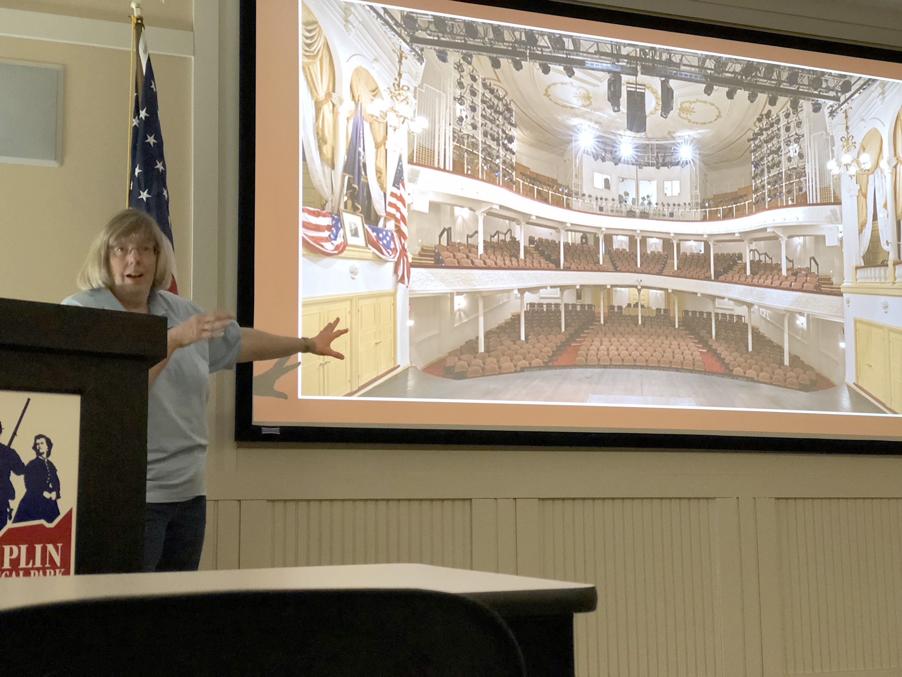
Gloria Swift, who recently joined the staff of BGES as membership coordinator, was formerly the NPS curator at Ford’s Theater. She gave an interesting presentation on the history of the theater from 1863 to the present. After the assassination, John Ford wanted to reopen, but Stanton wouldn’t allow it and the government bought him out, turning it into a three-story office building. The first two floors were for document storage and it was there that the famous Official Records of the war were assembled; the third was a army medical museum for a while. In 1893 there was a catastrophic floor collapse—22 killed, 100+ injured. In the 1930s it was an NPS office, but by the 50s it was restored as a working theater, and renovated again in the 90s. BGES bought the flags and bunting used to decorate the presidential box in exactly the form shown in the Mathew Brady photos.
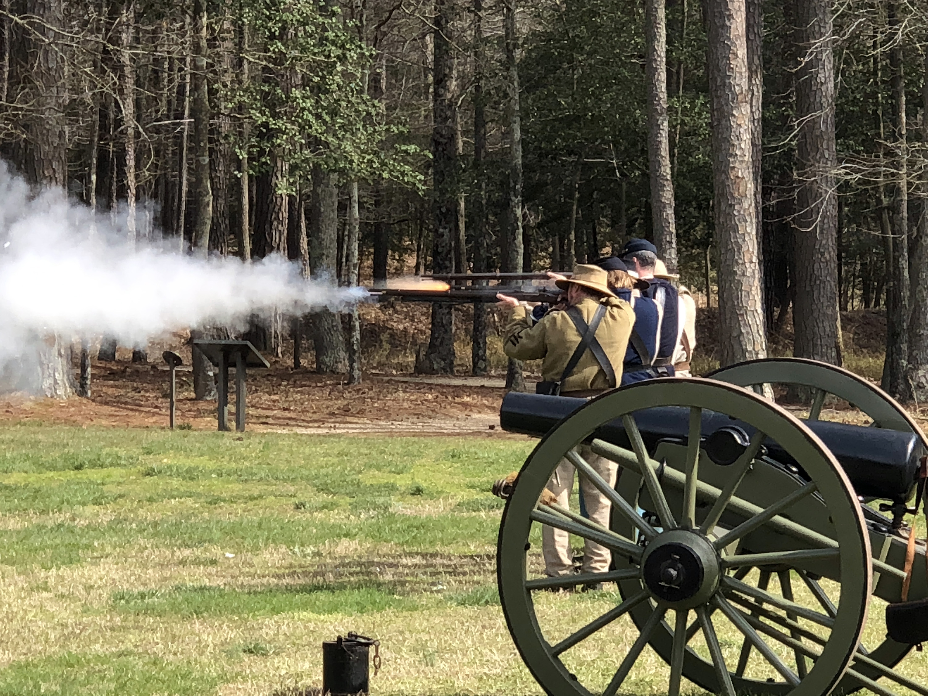
We took a brief break to go outside and witness a 25 gun salute to BGES. The first 24 were from a short rank of reenactors with rifled muskets (which Len called a "firing squad") and the final was a 12-pound Napoleon, which was fired by Jesse, a young wounded warrior (Afghanistan) who has attended some of the BGES events.
Laurence (Laurie) Schiller is the BGES secretary/treasurer and was the former fencing coach at Northwestern University. He published a BGES Monograph in 2001 about the federal cavalry and that was the subject of his talk. He said the conventional wisdom of the Feds being so inferior to the Confederate cavalry after the early days of the war is misguided, and in fact they operated effectively as dragoons, meaning they fought equally as well dismounted as they did in mounted saber charges. He focused his arguments around two units, the 8th Illinois and the 7th Pennsylvania, describing actions in Brandy Station and Chickamauga. He also had good things to say about James Wilson's 1865 Alabama raid and critical things about Nathan Bedford Forrest.
We concluded the afternoon with a future-facing talk by Len and a catered dinner on picnic tables outside the education center.
Saturday, April 7
Unlike the balmy weather Friday, today was the coldest day I have ever spent in my many trips to Virginia. The forecast was for rain all day, and fortunately that turned out to be just intermittent drizzle. The temperature never dipped below 40°, but whether it was the wind or the humidity, it was just bitterly cold. We will supposedly get a little snow overnight.
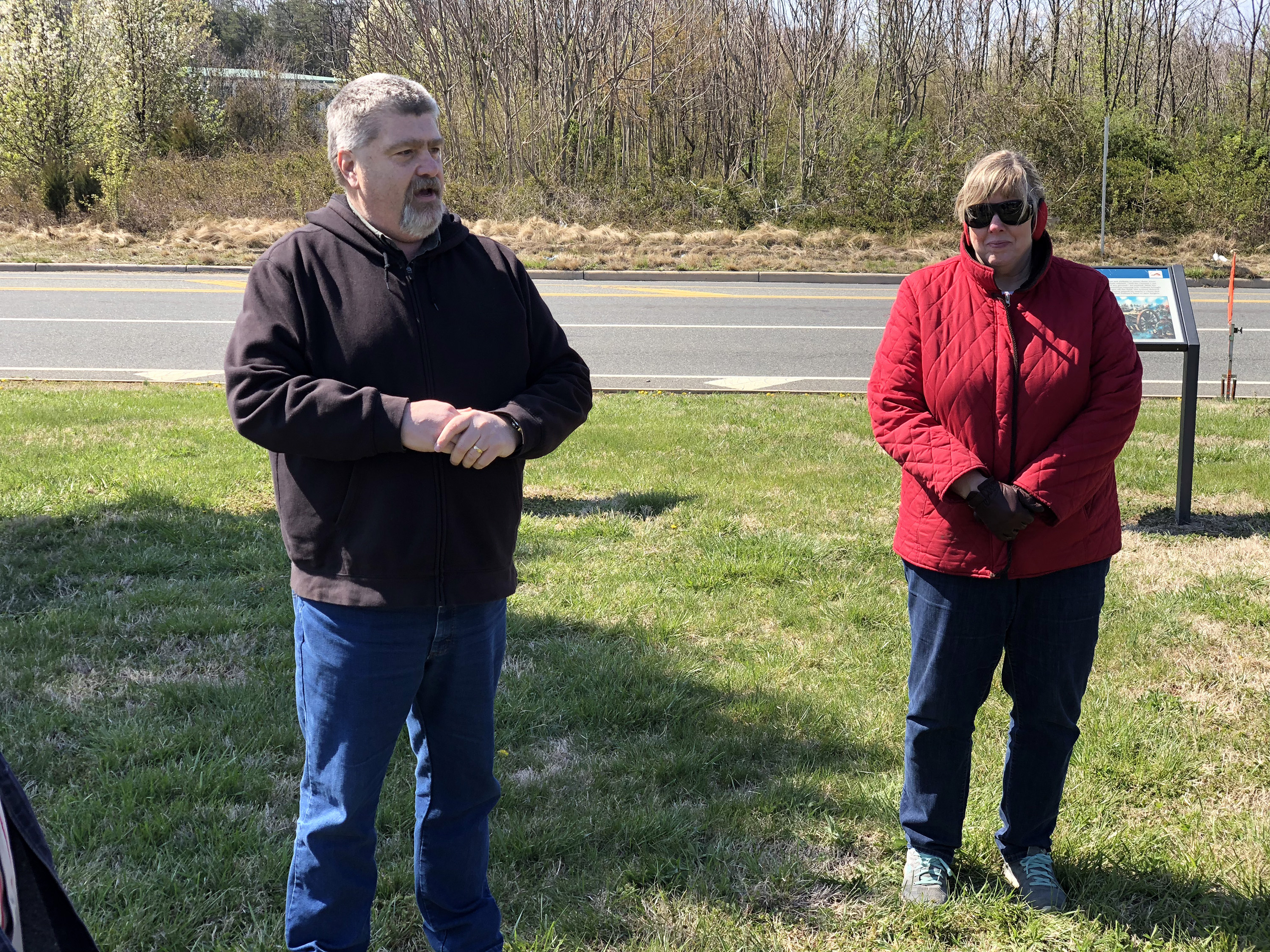
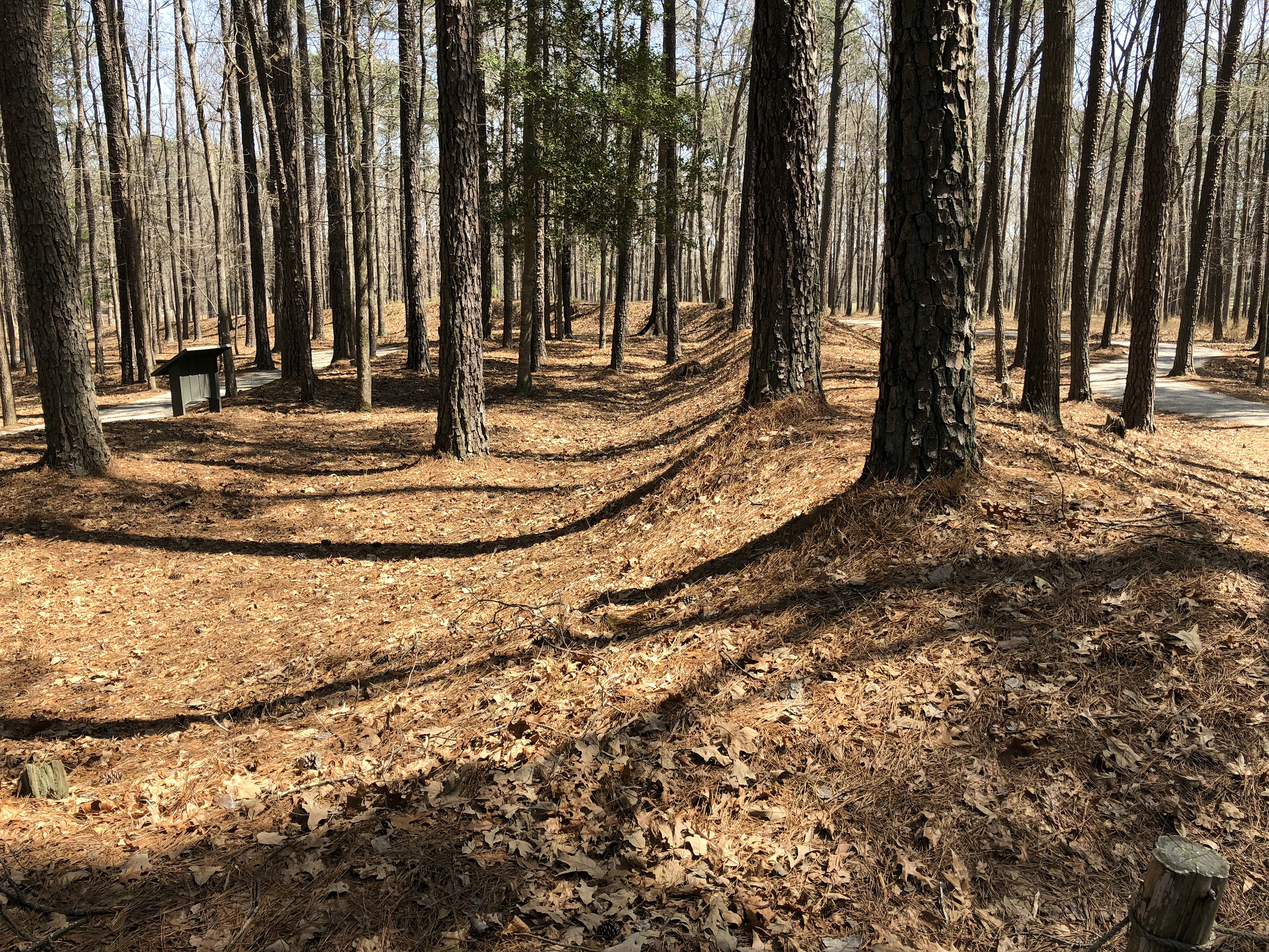
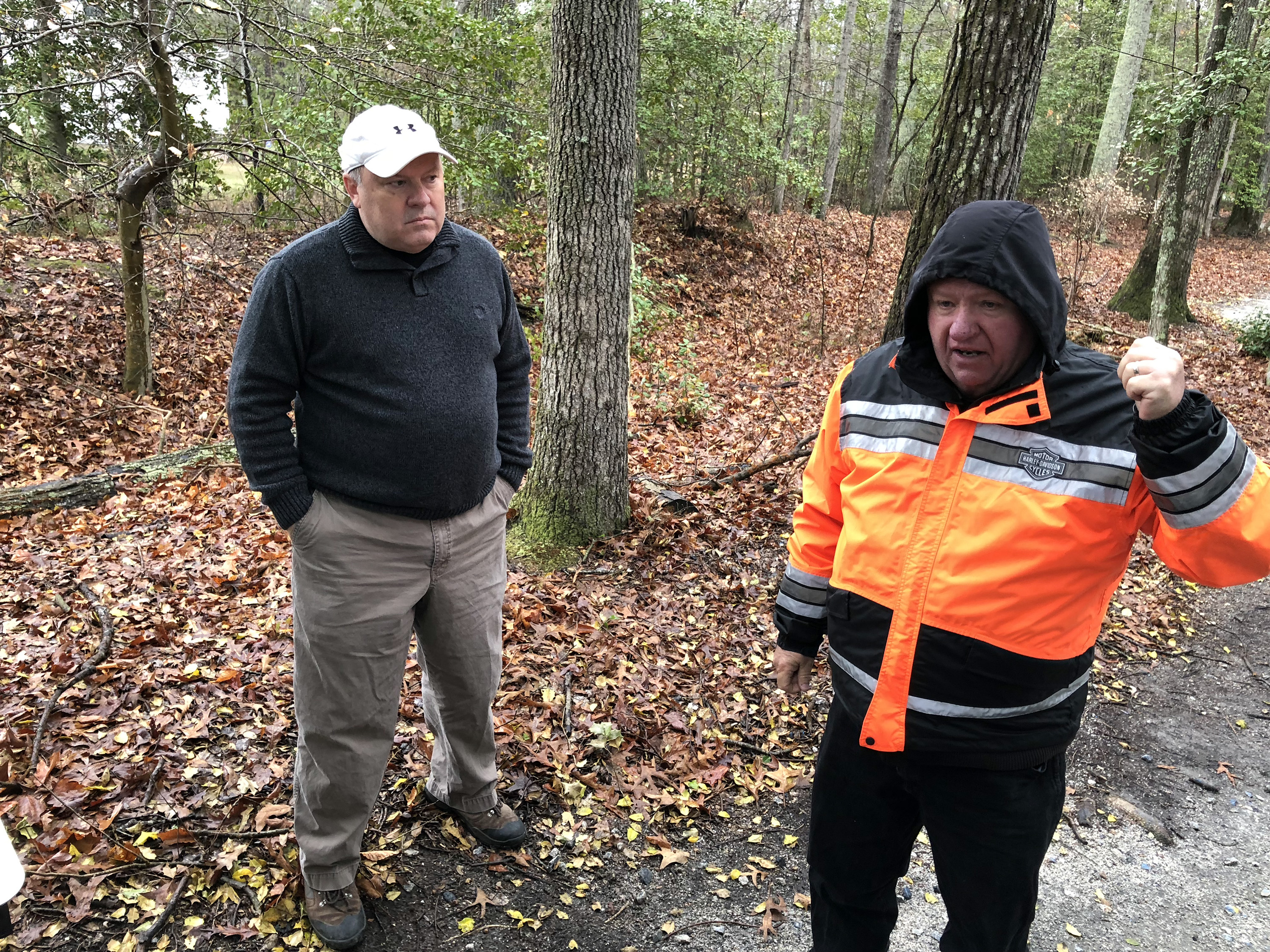
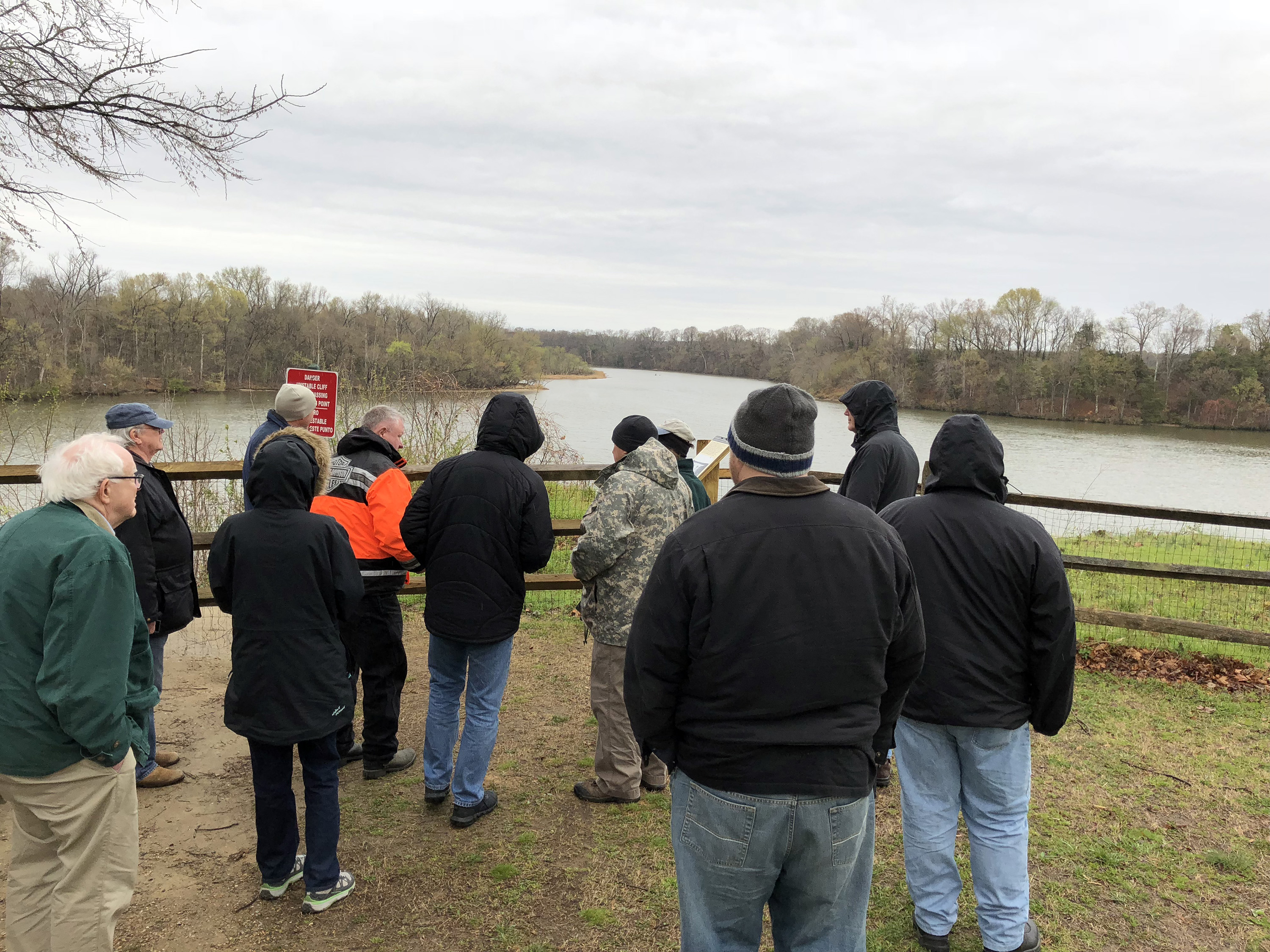
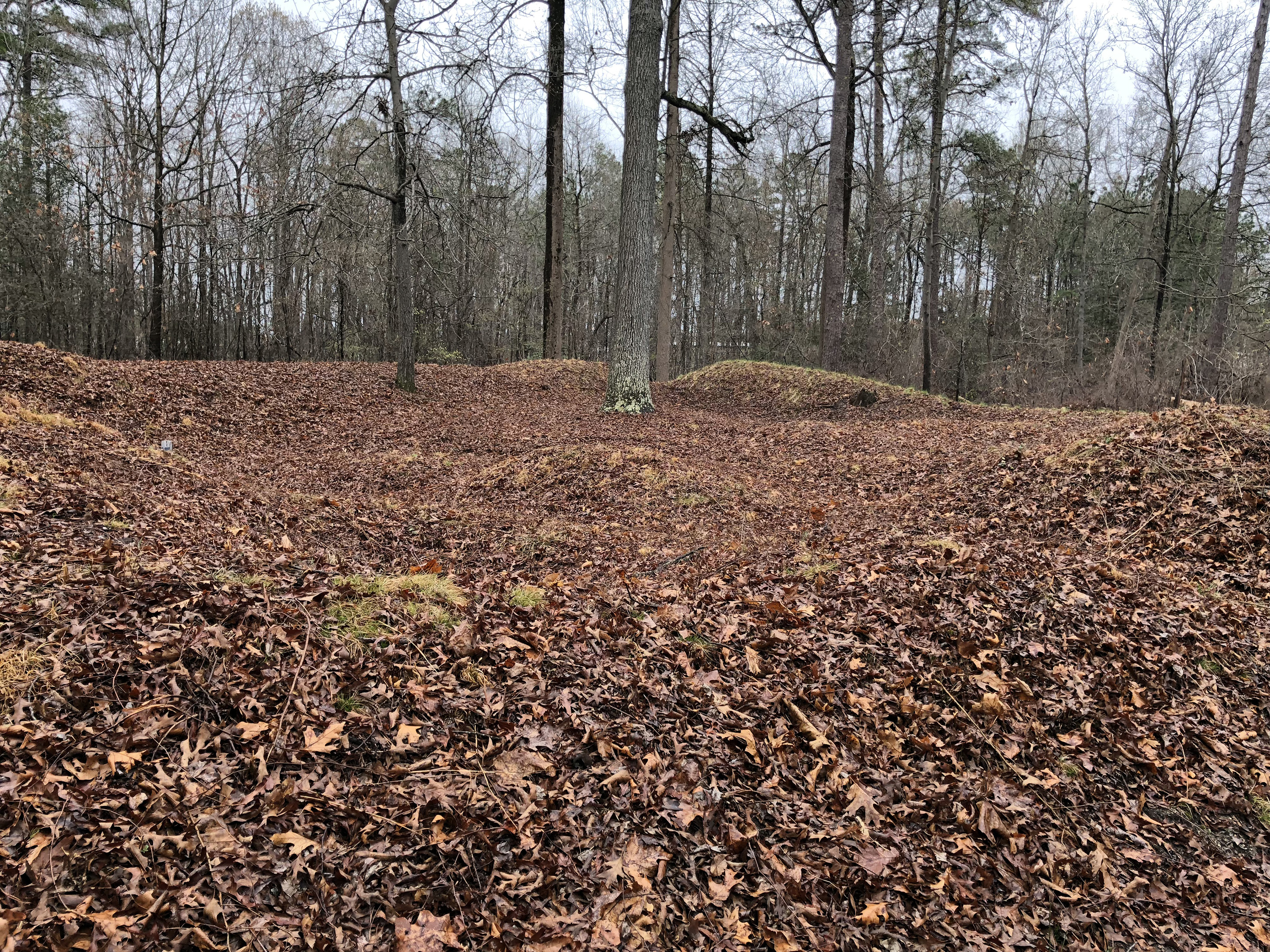
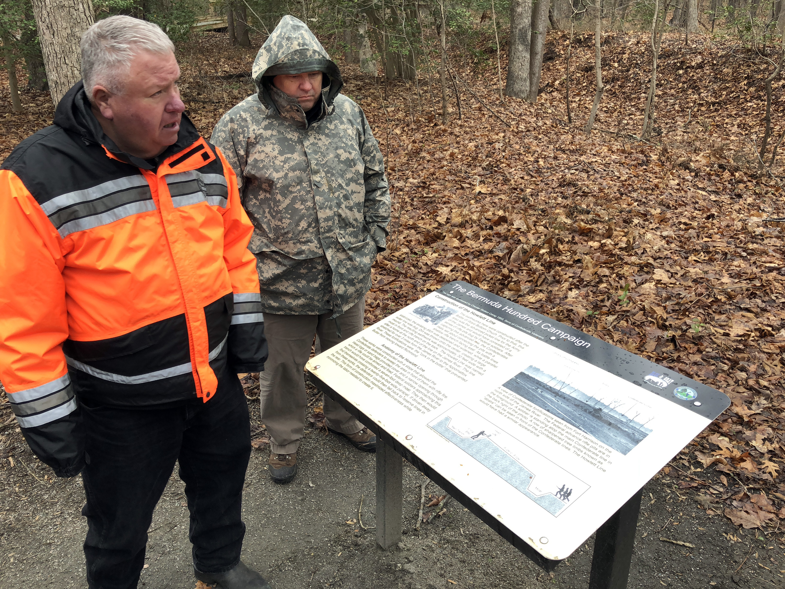
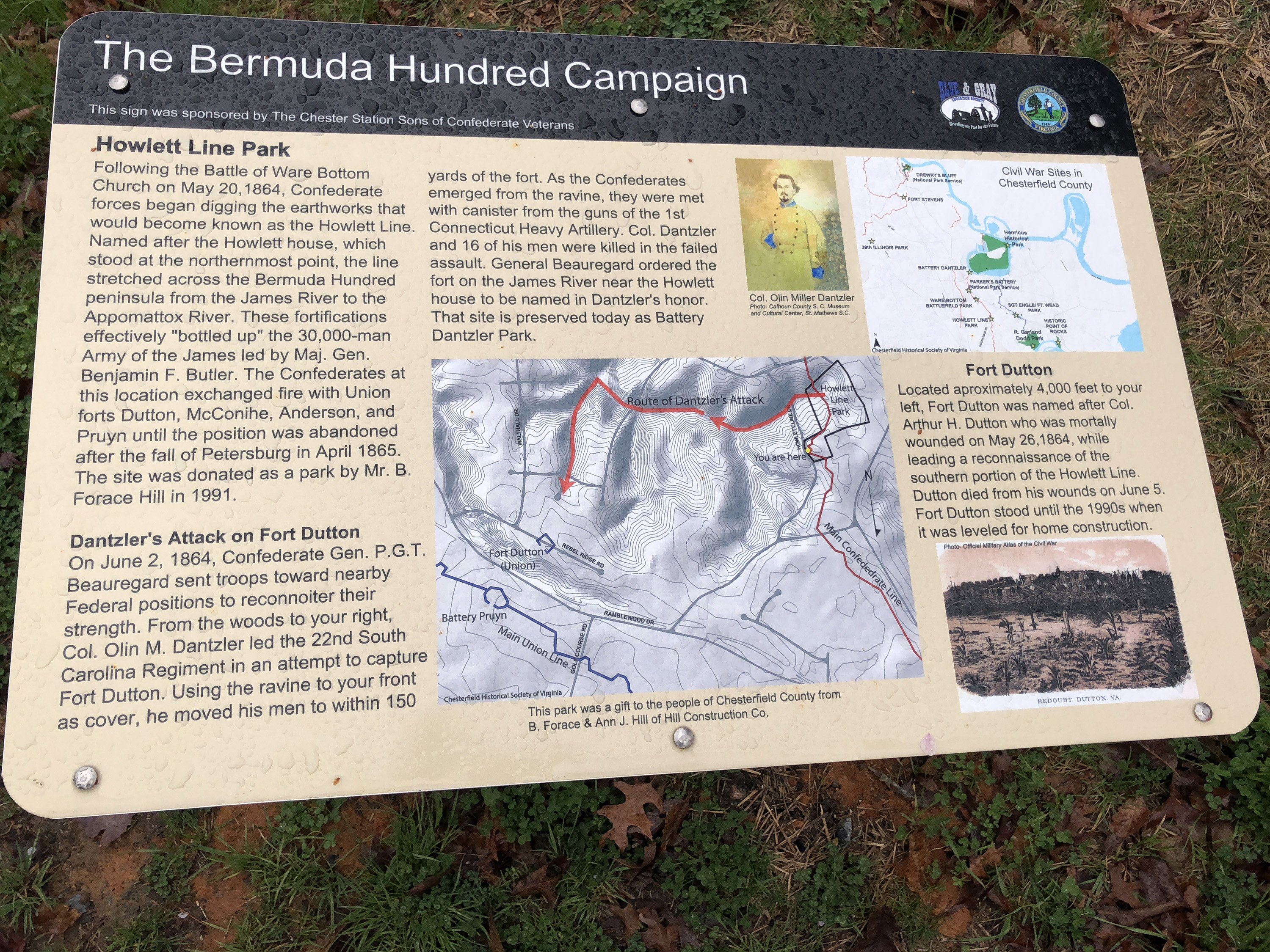
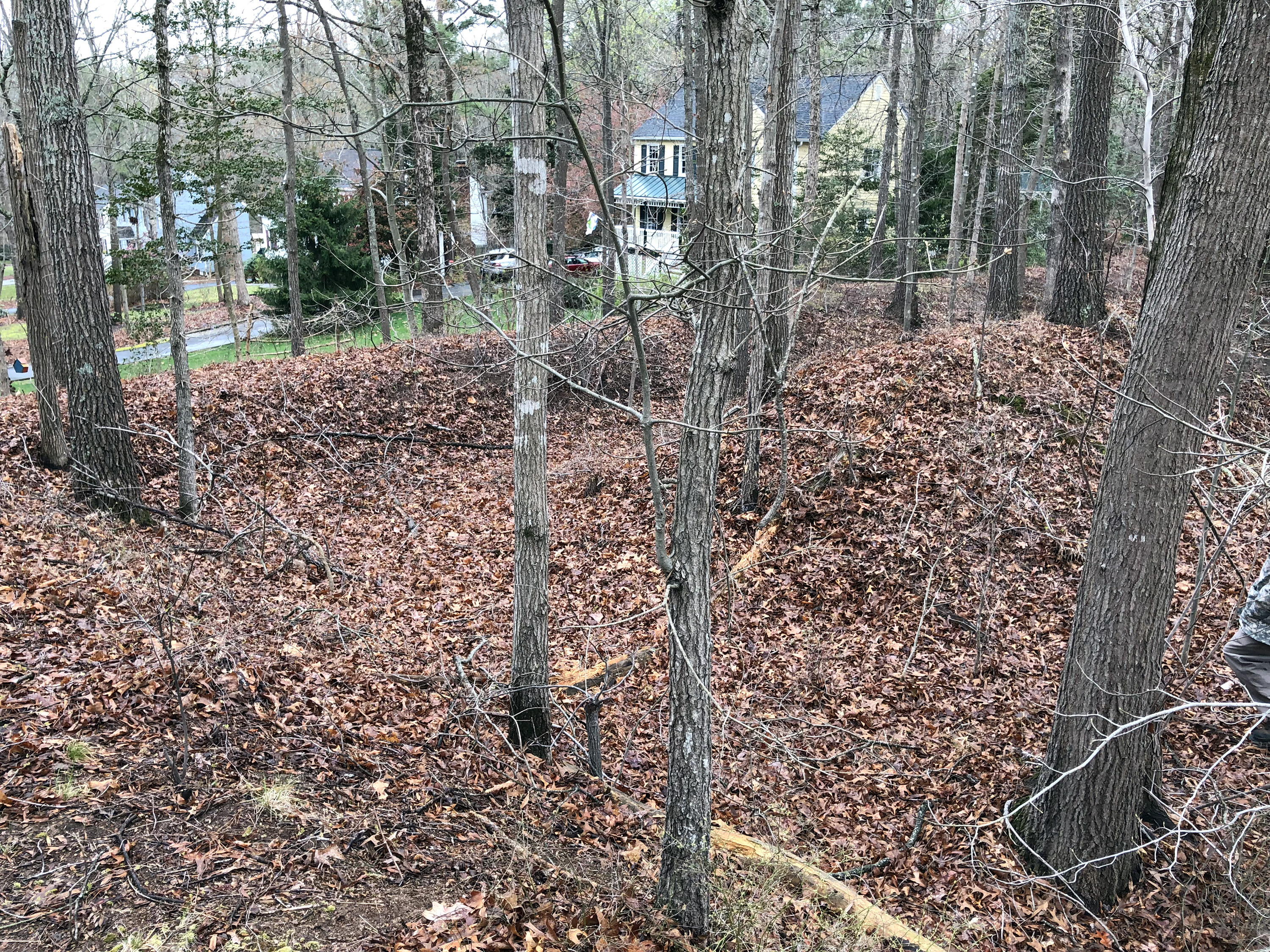
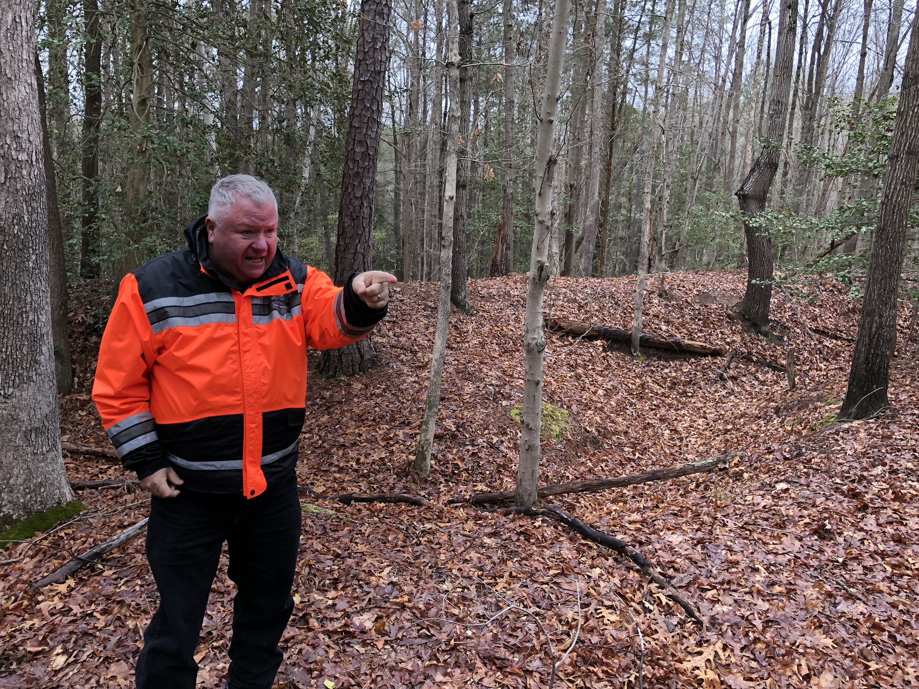
Today was devoted to the Bermuda Hundred Campaign--BGES members installed 43 signs there in 2014. Although we had only about 20 folks touring today, we got to use a 55-passenger bus! Our guides were George Fickett and Scott Williams of Chesterfield County, who together have produced some great maps of the battlefields. Len Riedel was out sick today, the first time I have ever seen that happen. George started by informing us that in the 1980s, no one had ever heard of this campaign—it was little more than a footnote in books on the Overland Campaign. Now there are numerous parks and hundreds of protected acres. And our tour seemed to emphasize the preservation aspects—fighting developers and bureaucrats—more than the actual campaign or battles, which I guess is appropriate for the nature of our weekend gathering celebrating BGES and its contributions. (One more thing about the signs: These are some of the highest quality battlefield signs I have seen. Scott told me they are produced by a company that does regular highway signs, adhering a sort of plastic decal on an aluminum plate.)
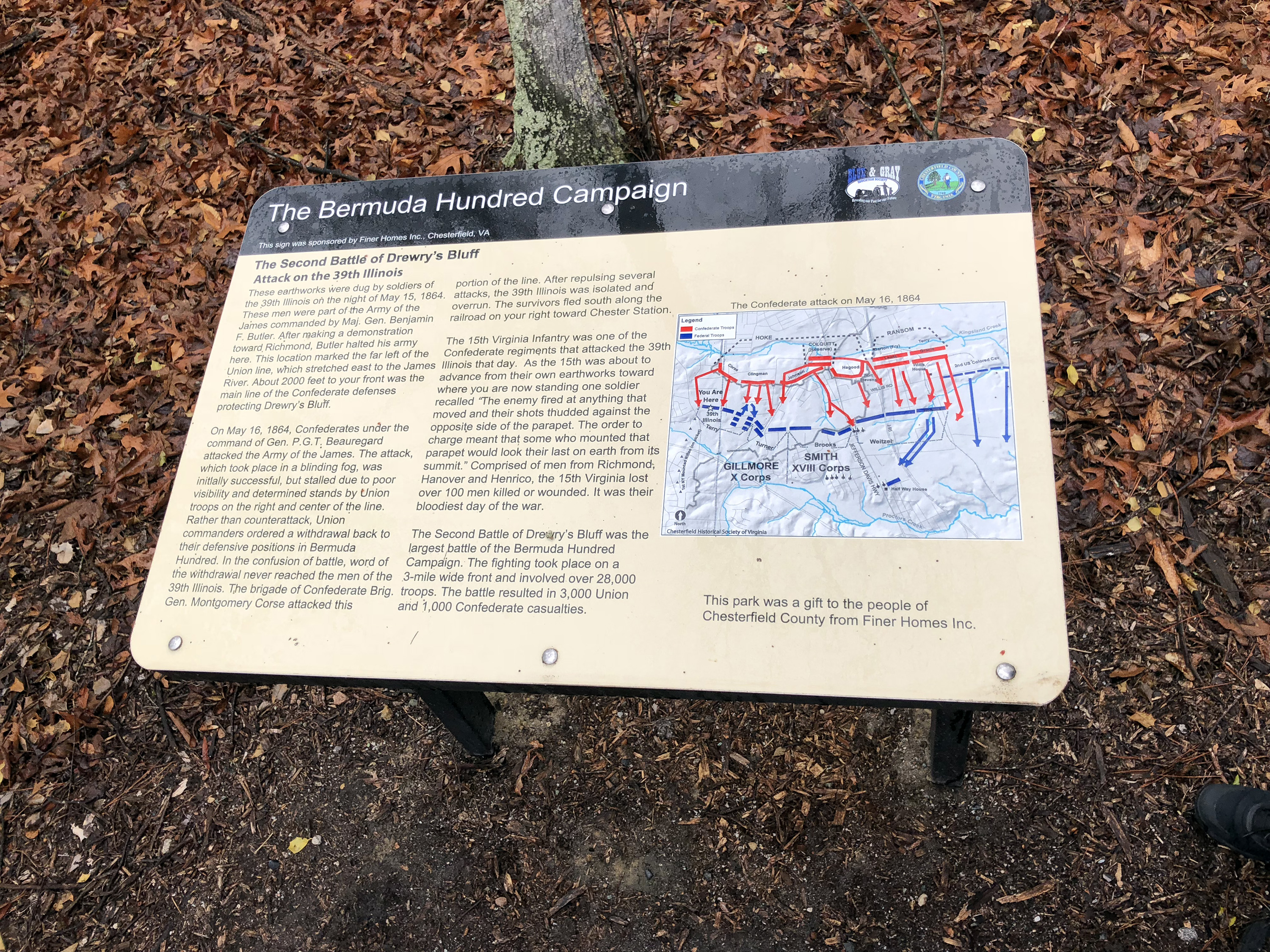
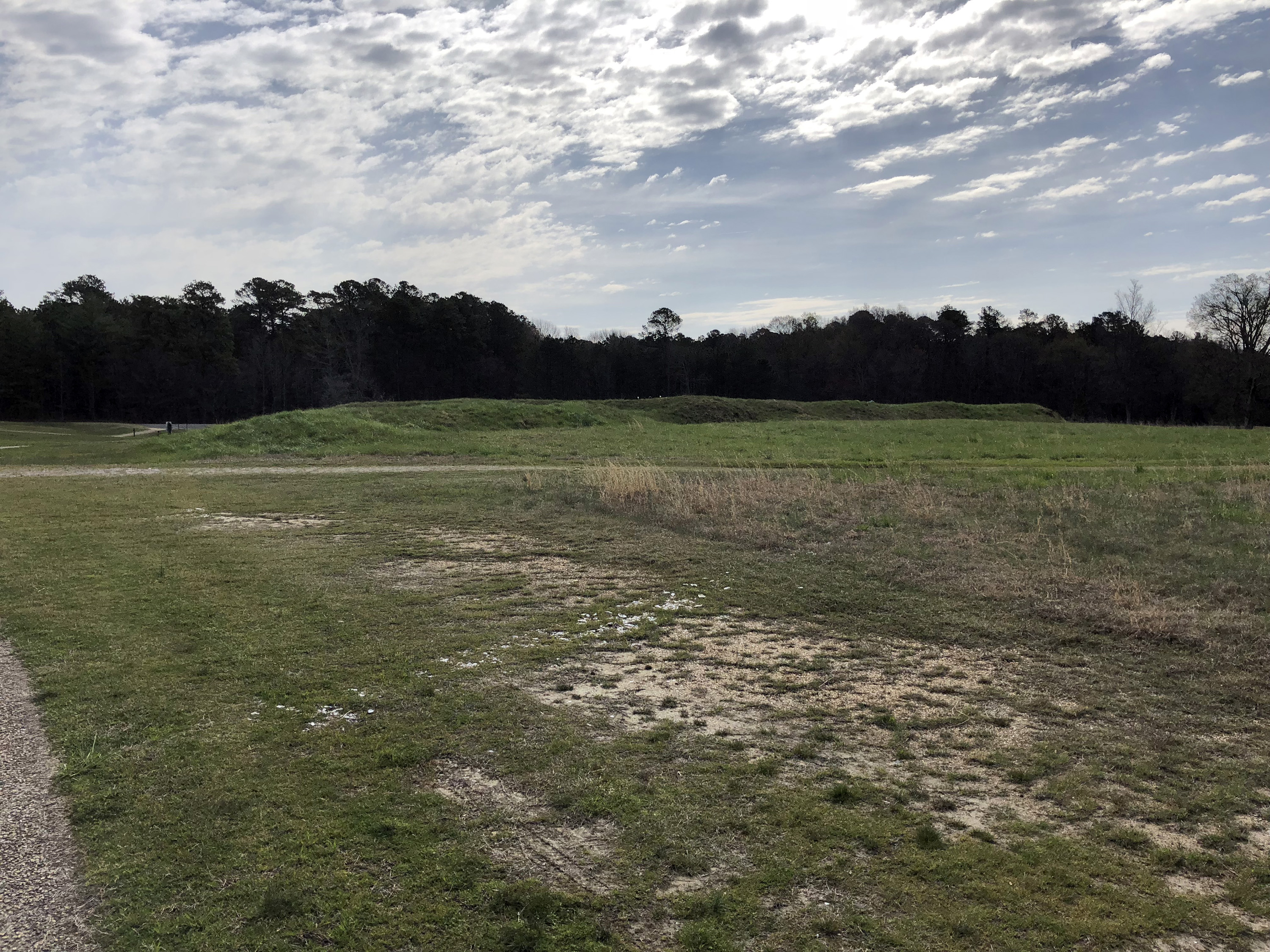
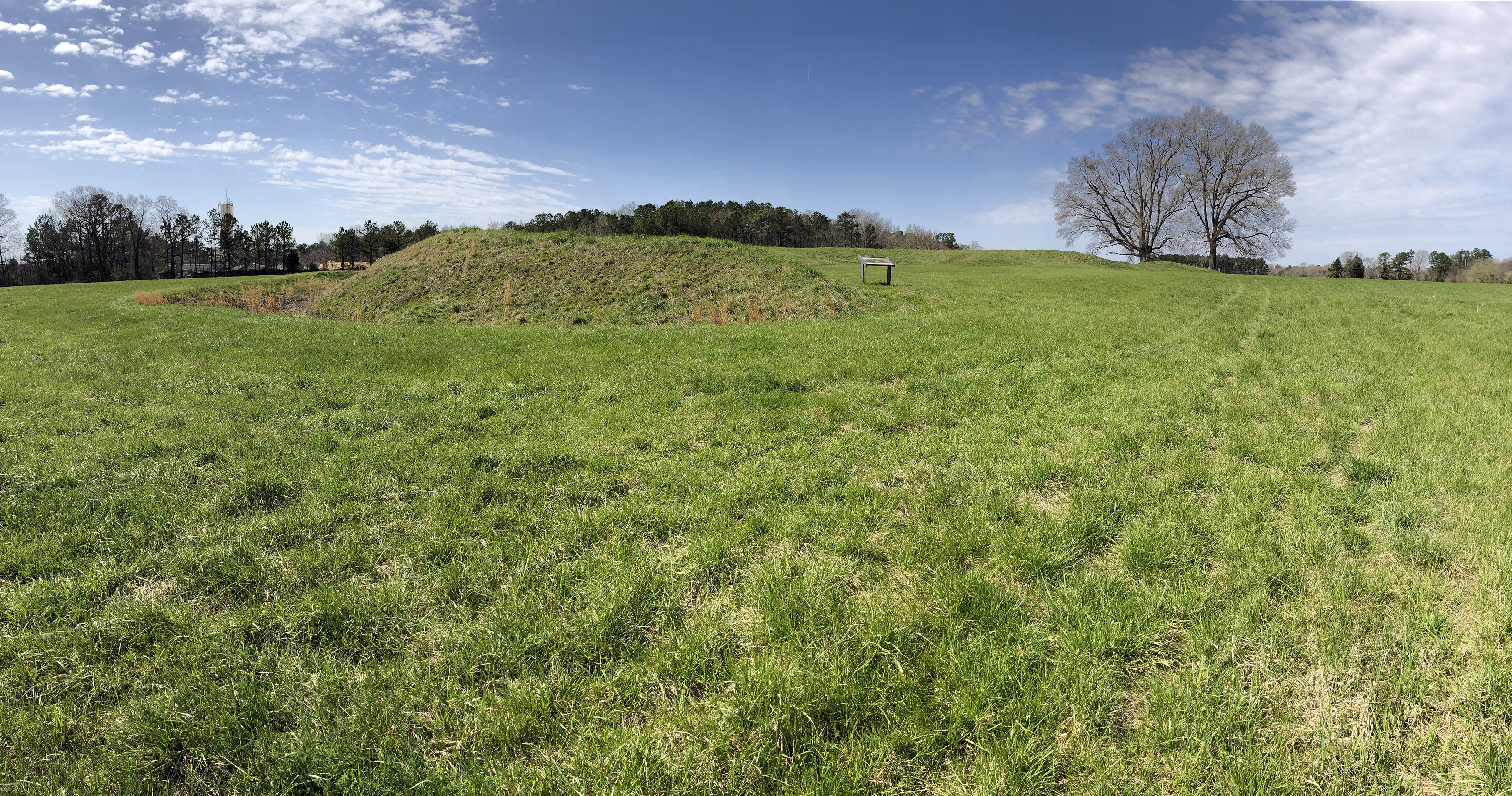
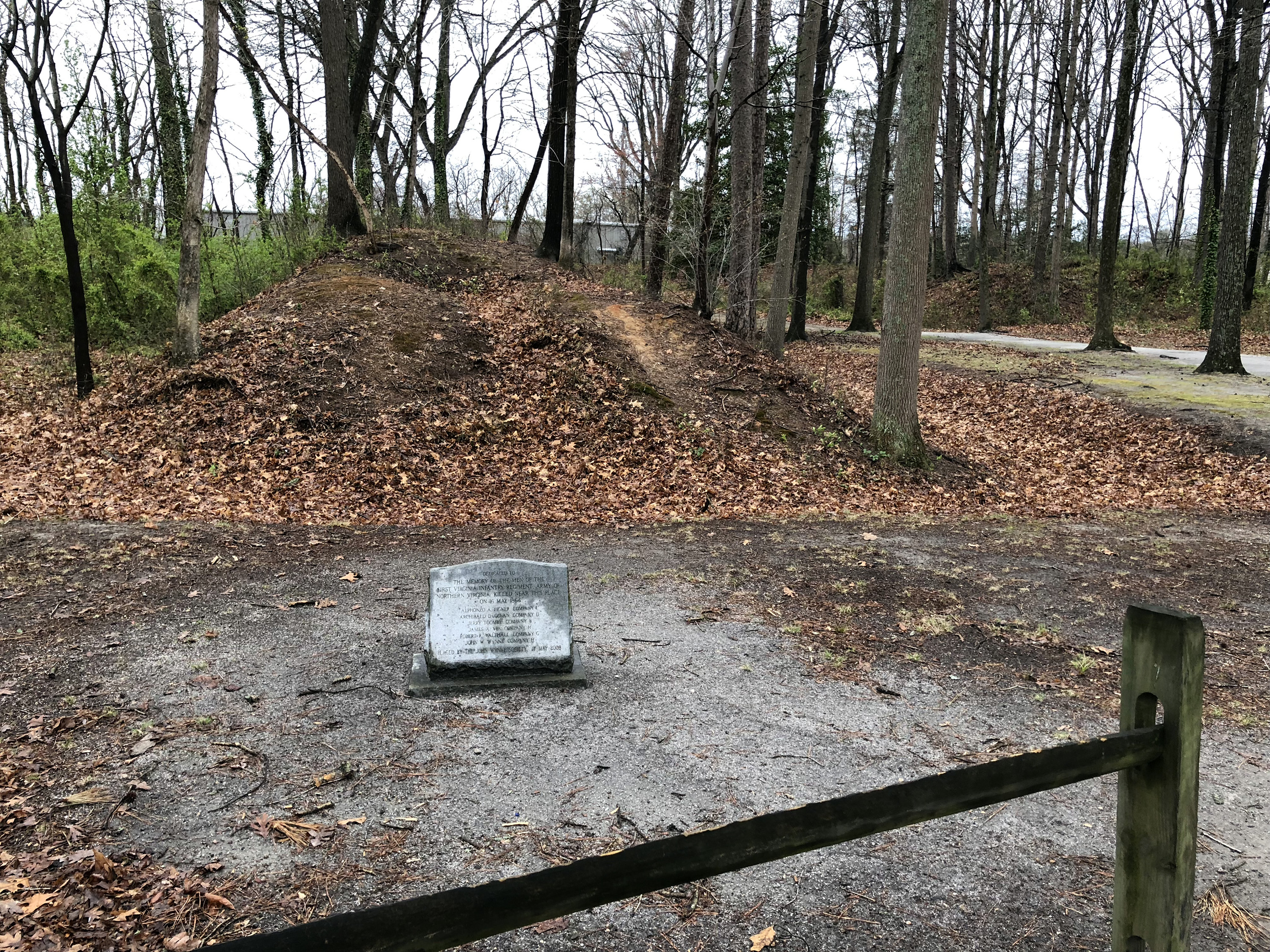
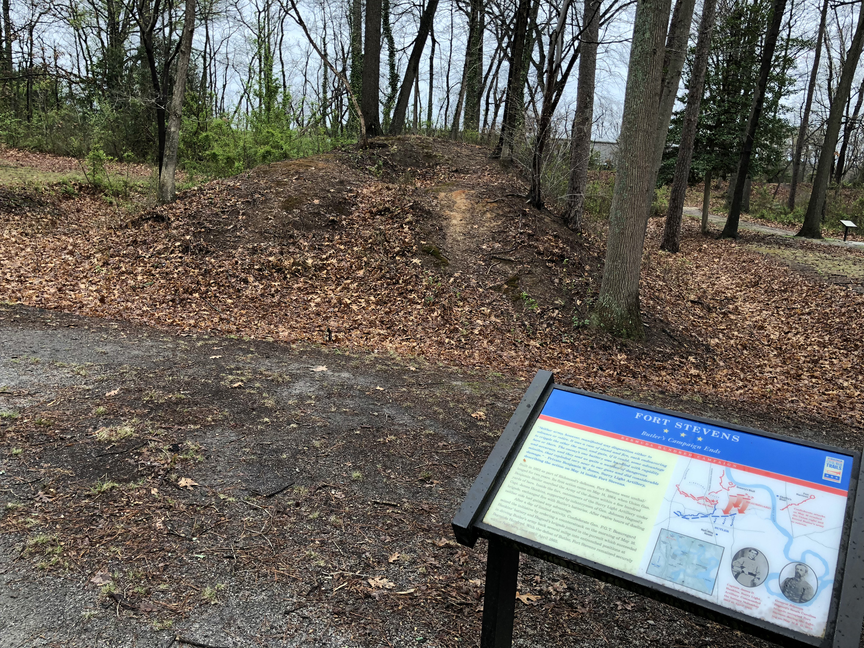
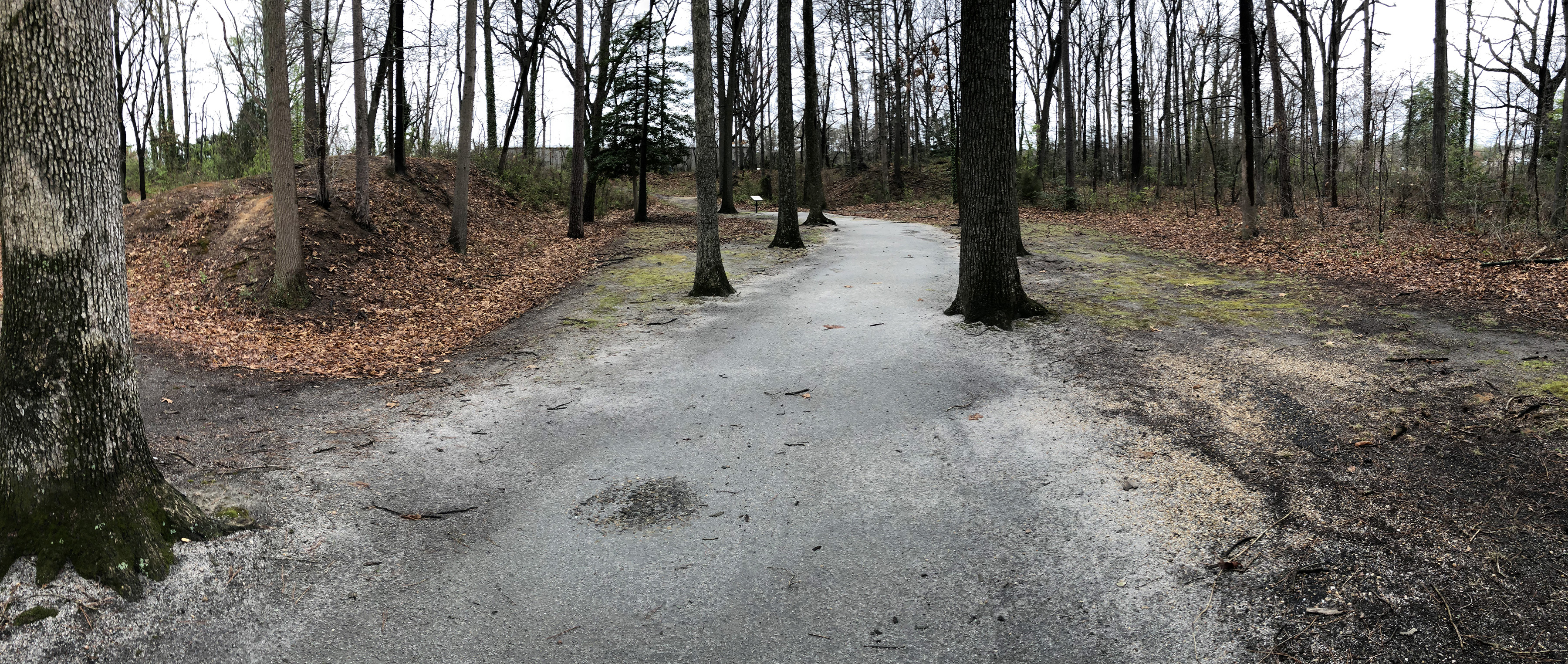
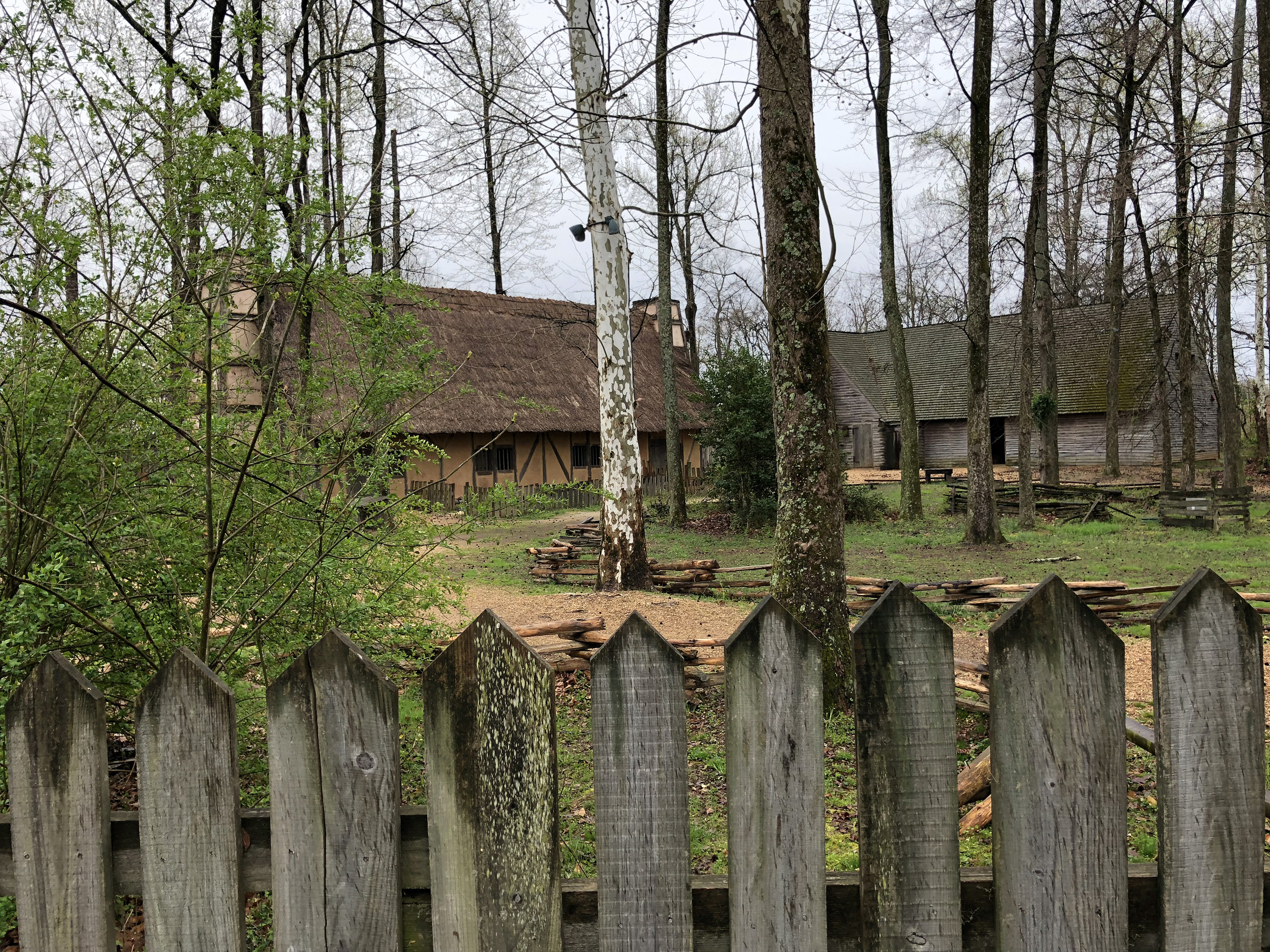
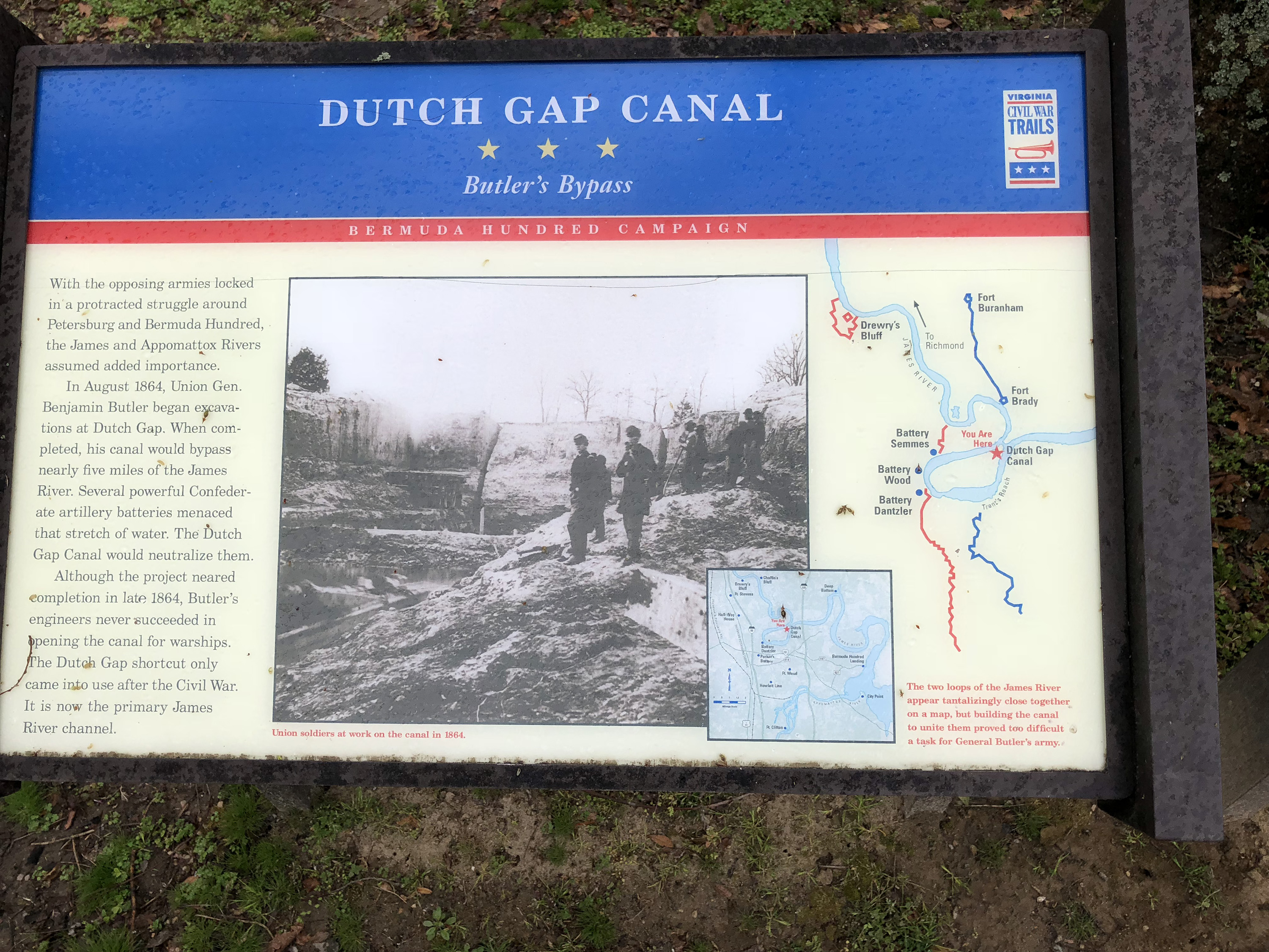
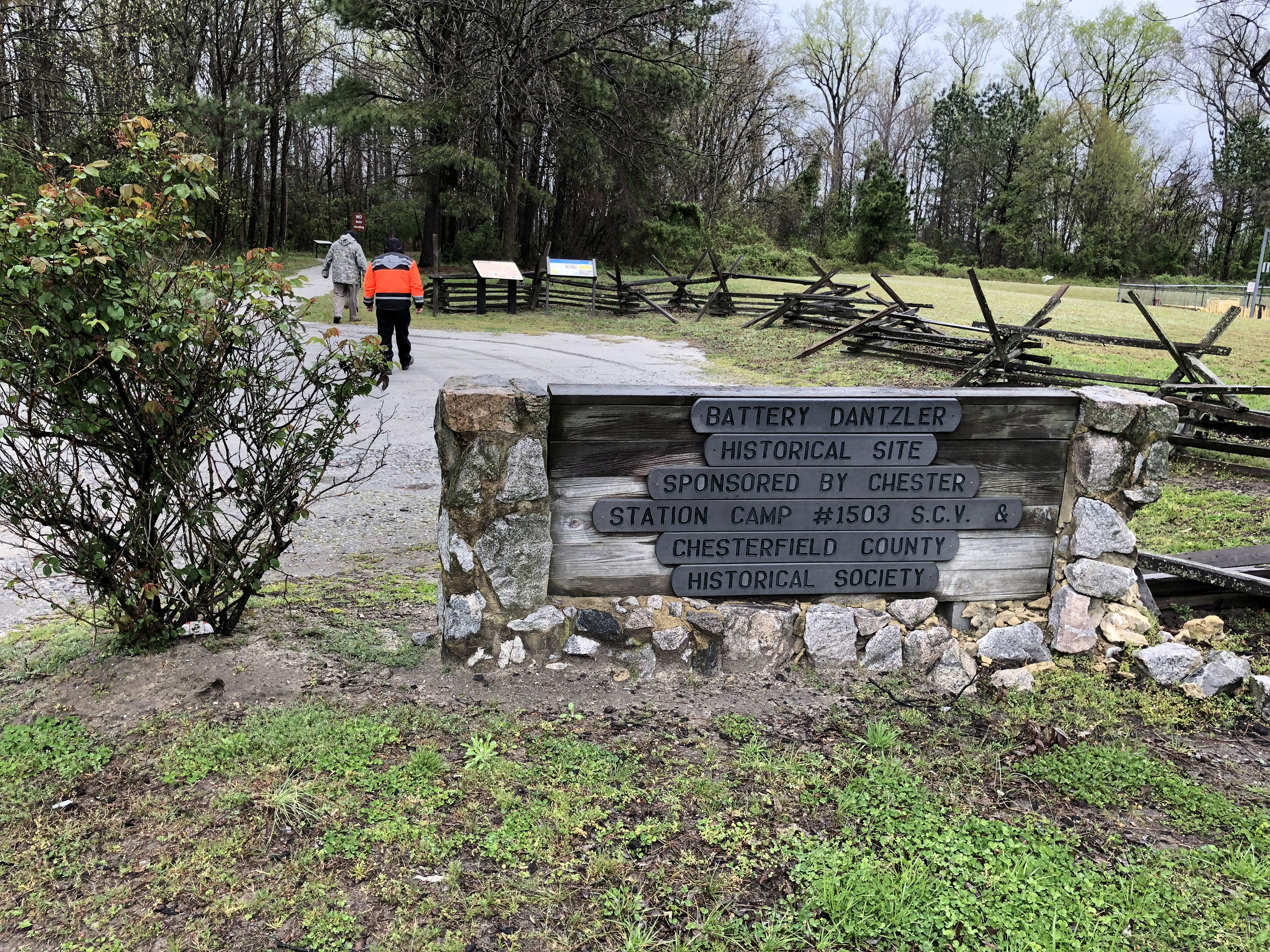
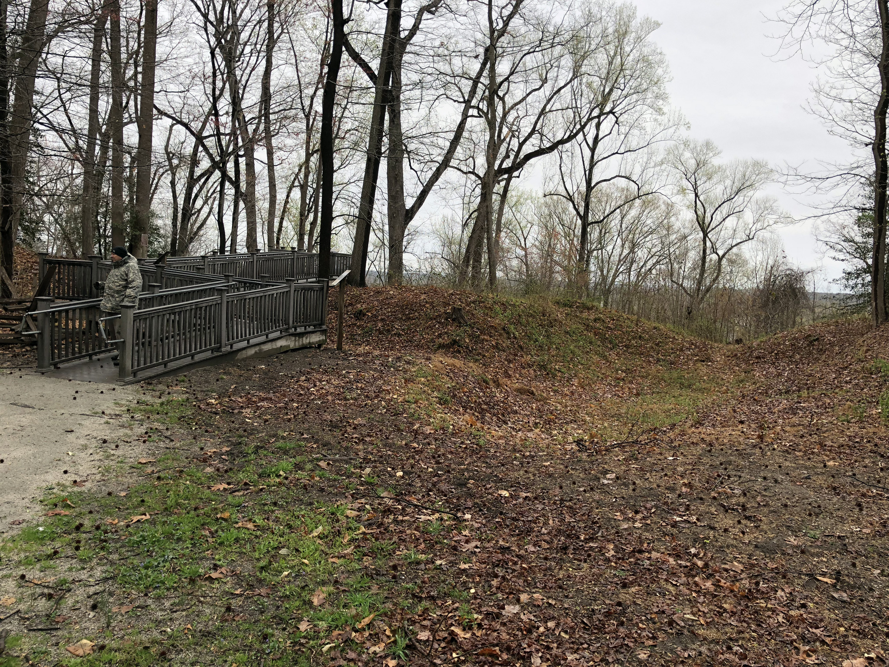
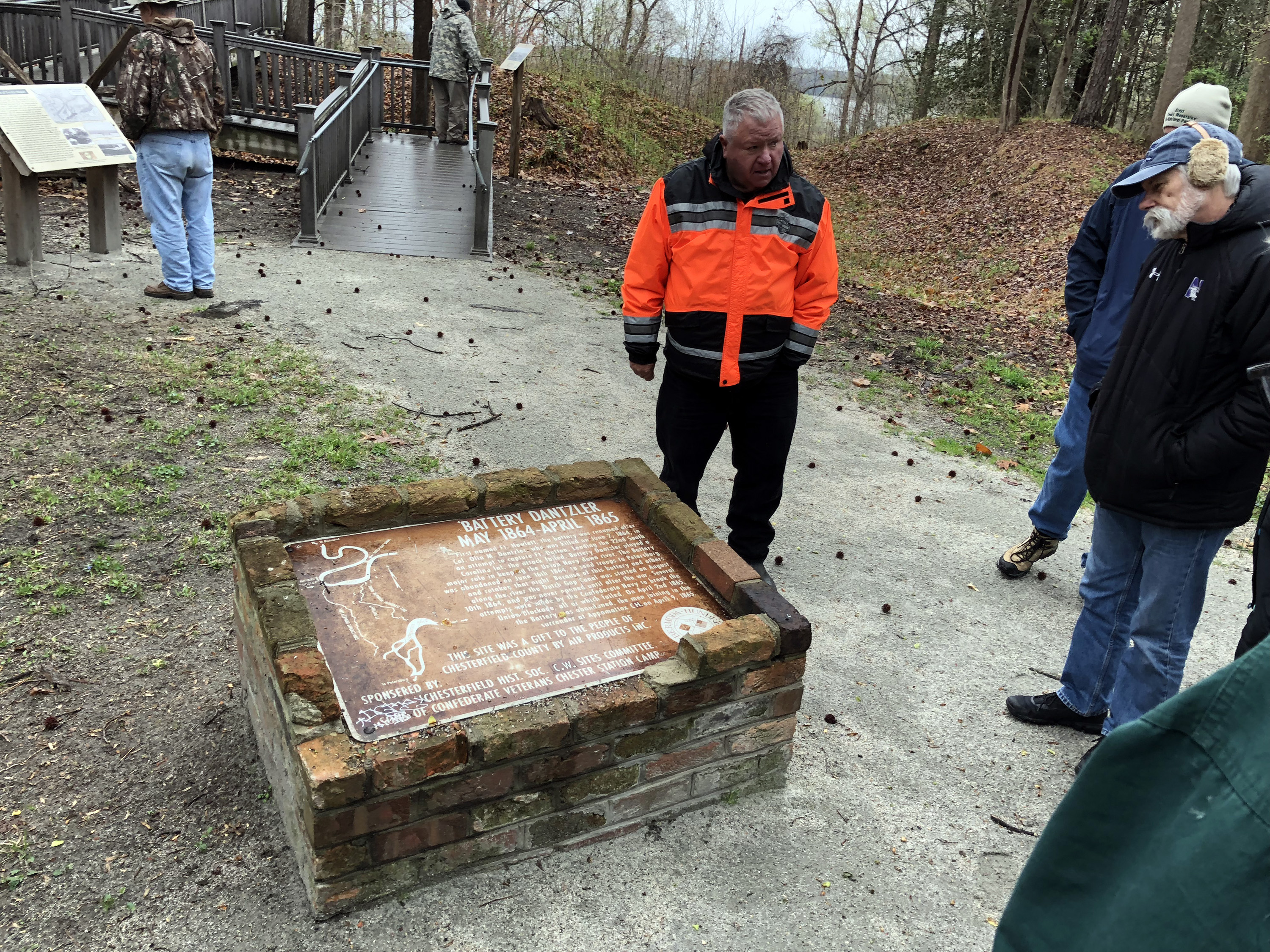
We started at Wooldridge Hill, where the leftmost/western end of the main Union line (39th Illinois) was placed at the battle of Drewry’s Bluff. Then Fort Stevens, right in the center of the Confederate line. This is a nice small park with well-preserved earthworks. (Actually, all the earthworks we saw today were in good shape, so I won't mention it again.) Next was Henricus Historical Park, which bills itself as the “second Jamestown.” We didn’t go into the park itself, but walked alongside and saw the Dutch Gap Canal, which Benjamin Butler started digging in 1864, hoping to provide a path for the Navy that bypassed Battery Dantzler. There were works where mortars were fired.
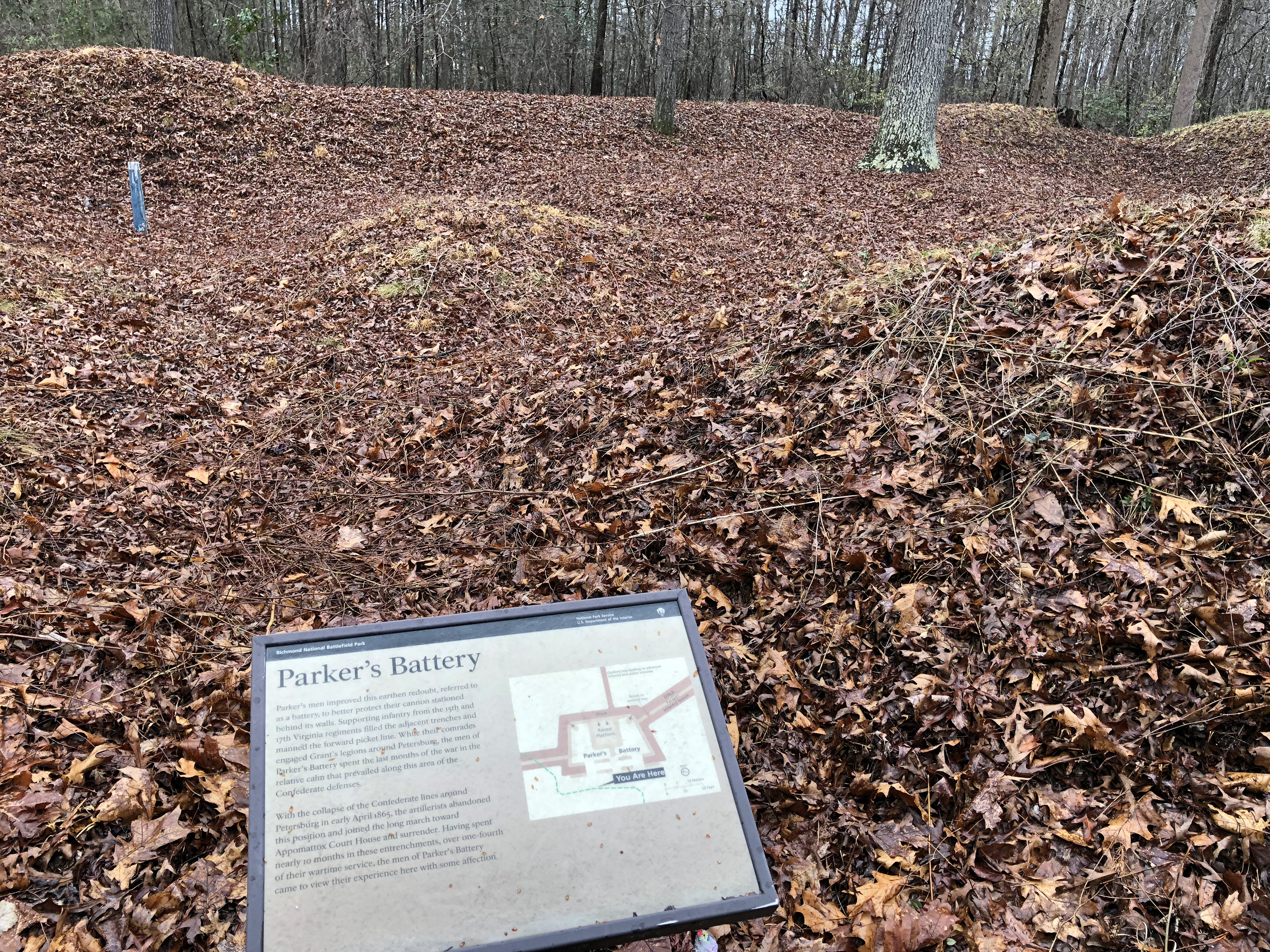
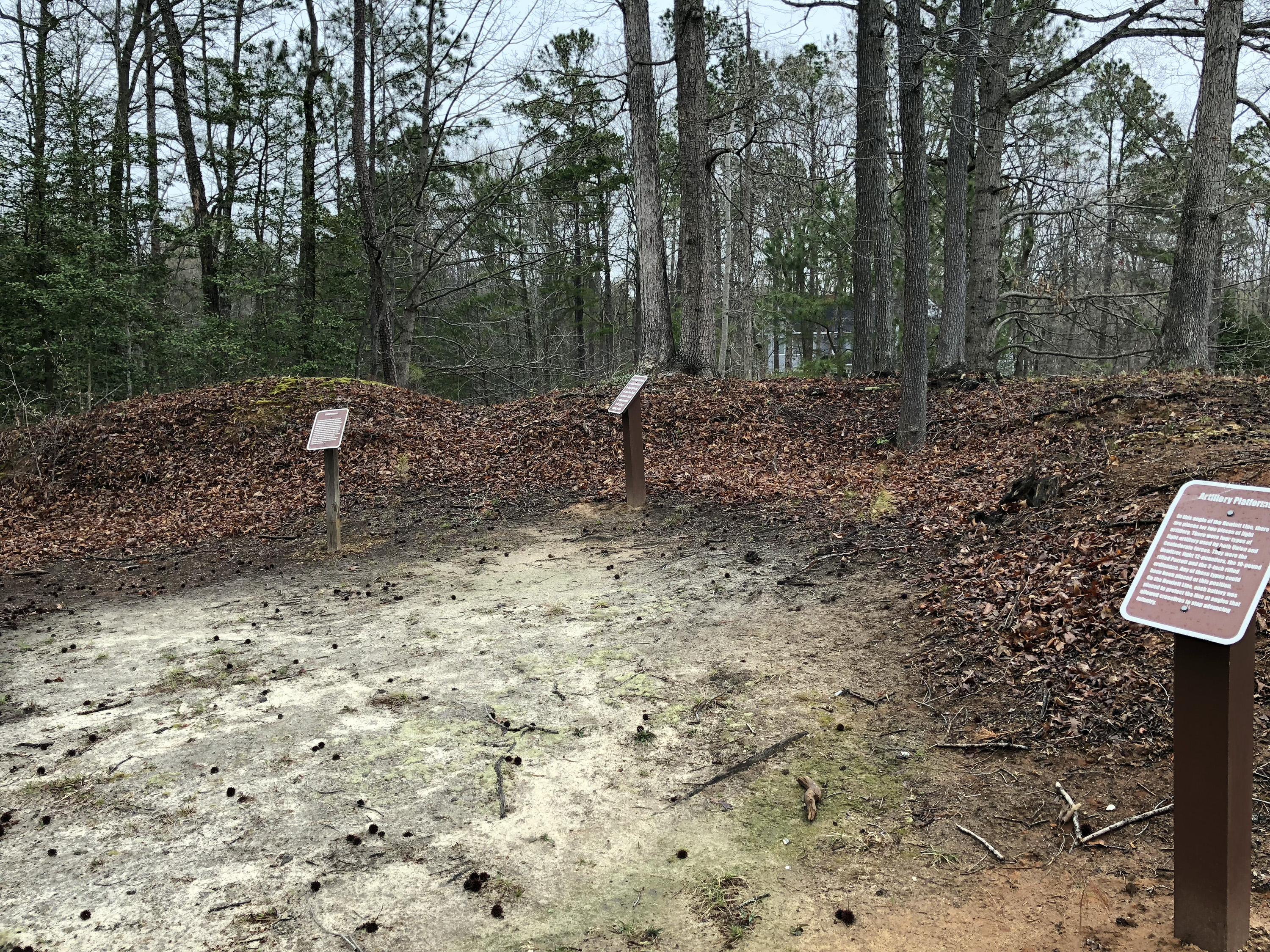
Next was Parker’s Battery on the Howlett Line, which has prominence because it was the first preserved position in the area—1888, I think—and is one of the rare National Parks in the campaign. Nearby was Ware Bottom Church battlefield, which George is proud of as the best preserved in Bermuda Hundred, having taken 16 years of his effort to acquire it and then expand it with the Civil War Trust. There’s a particularly nice artillery position here that George wants the BGES to populate with a replica field gun.
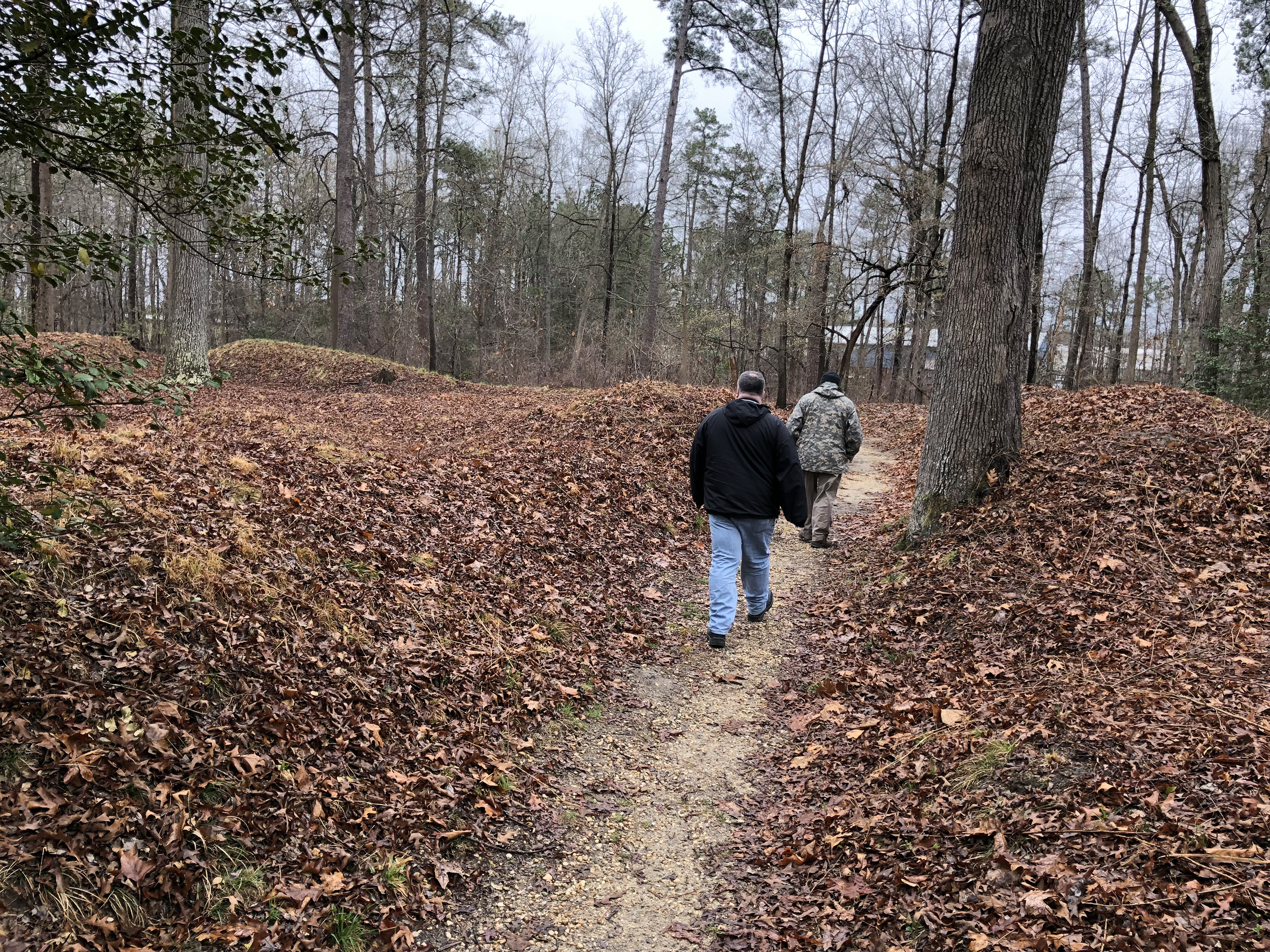
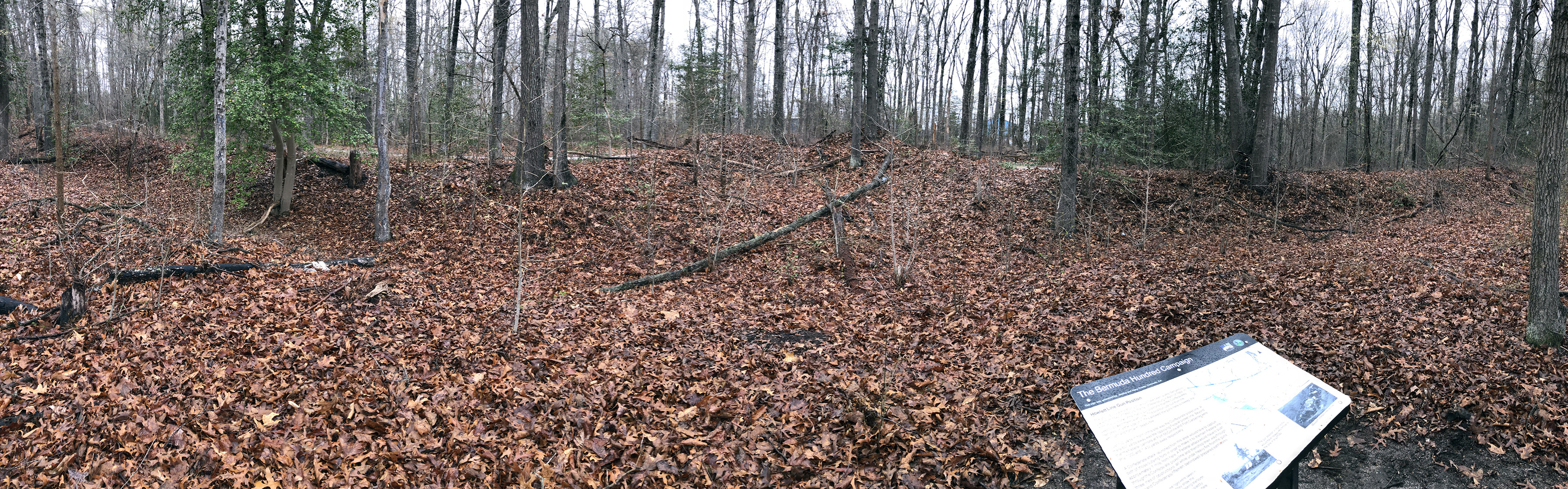
We had lunch at Garland Dodd Park at Point of Rocks. The catered BBQ food was excellent, but the open pavilion was unappetizing in the cold wind, so I ate in the warm bus. There are a number of walking trails in this park to visit works in the woods, but we didn’t partake. We did drive by the site of the 125-foot signal tower on private property. (I knew this park because I visited briefly on my own in May 2014.) Next was Howlett Line Park, which was the starting point for Dantzler’s June 2 attack on Fort Dutton. The terrain here was quite dramatic and we walked a few hundred yards on the earthworks, which is something I usually don’t get to do. George pointed out a number of indentations that were Confederate winter hut sites.
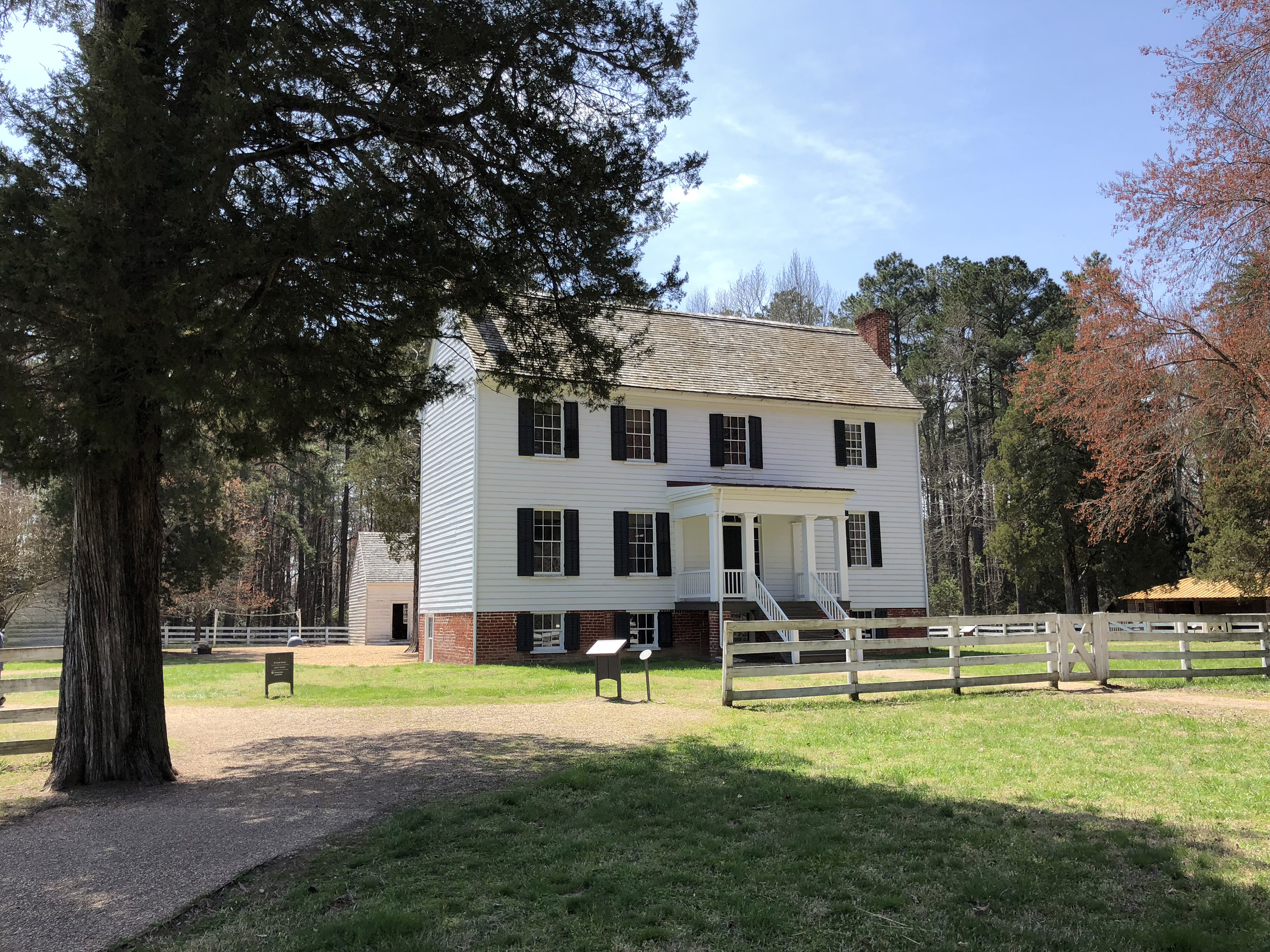
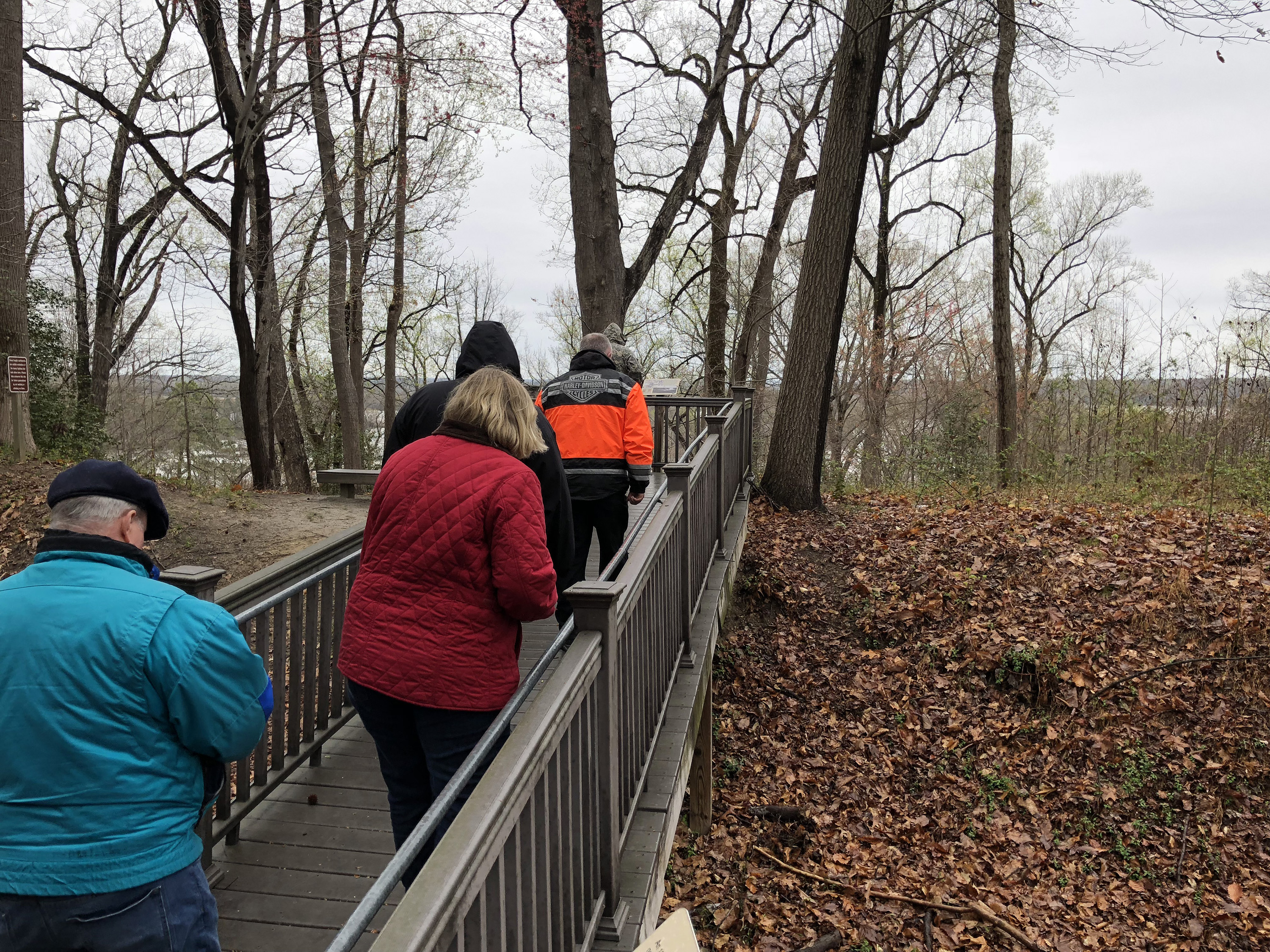
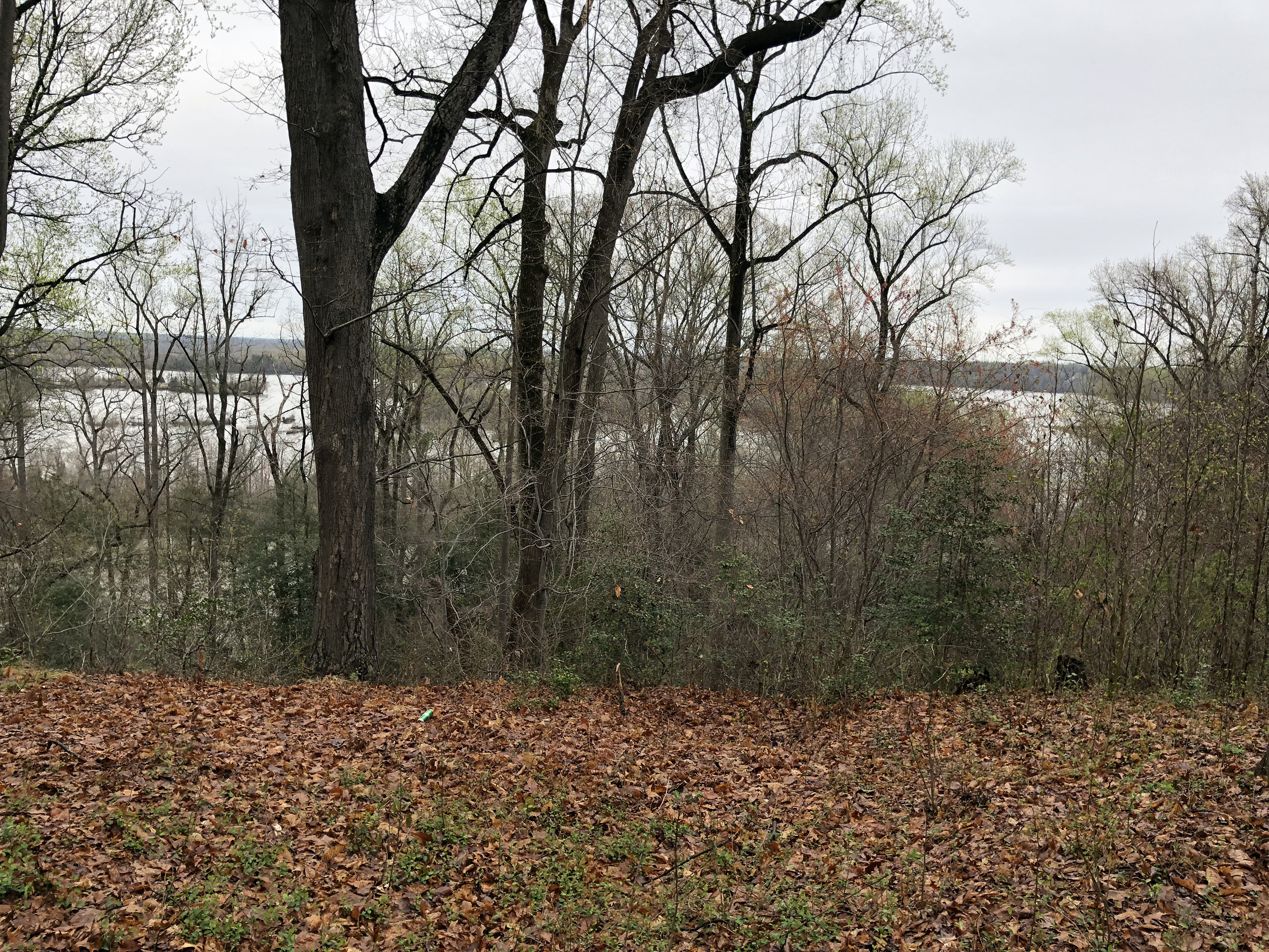
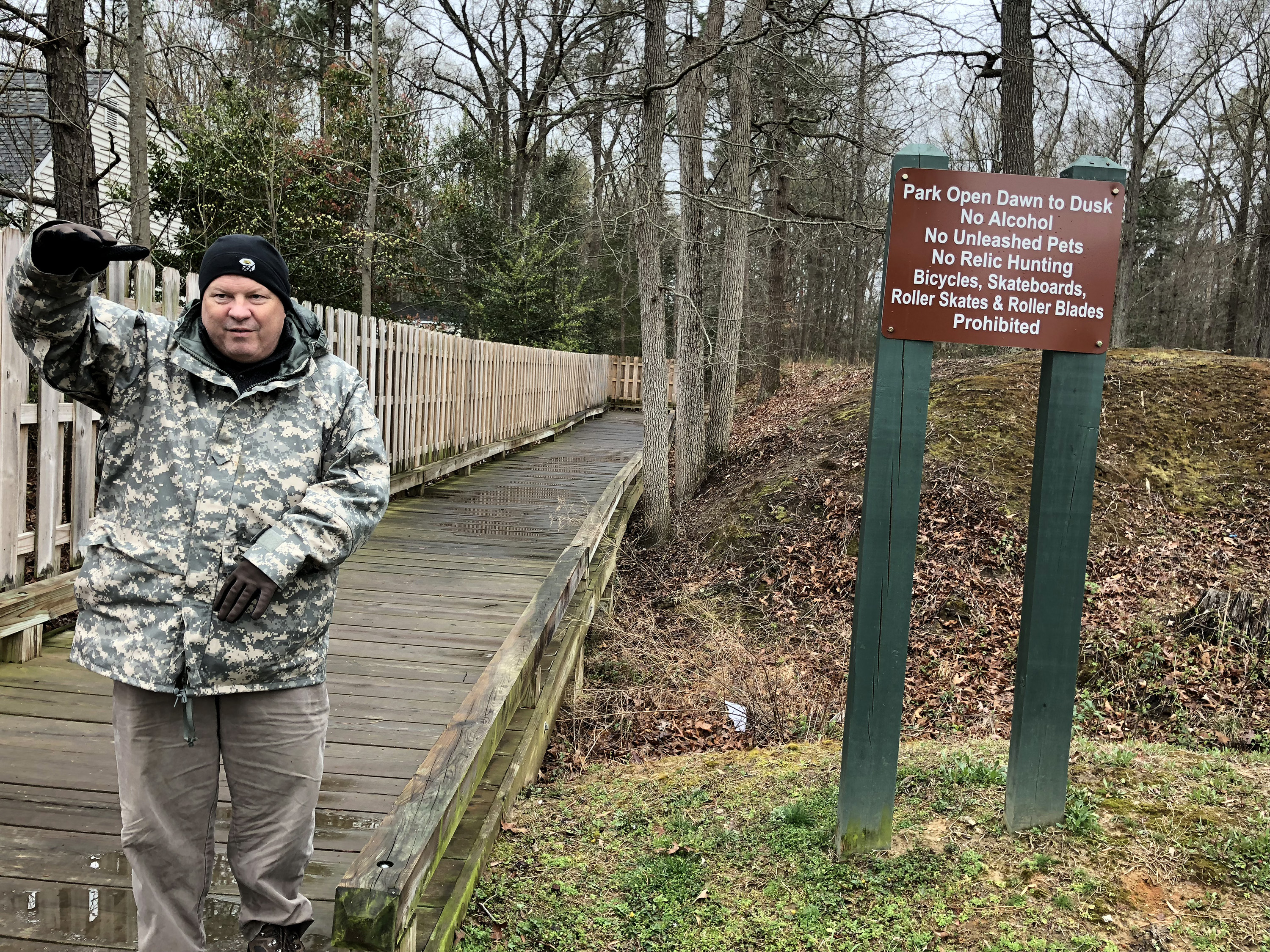
Next was Sgt. James Engle Park, a 12-acre spot that we just drove by to reach Fort Wead, which is a simple square Union fort, seemingly famous only for having its photo in the Official Records Atlas. Our final stop was Point of Rocks, which is a county park not currently open to the public. Nevertheless, it has 14 BGES-sponsored signs. All of the signs were well done and seem well maintained, so kudos. There was an uninteresting 1841 house and some nice river views. I wasn’t quite sure, but it seems that the original rocks in Point of Rocks are no longer there, so we got to peer out to the Appomattox River over secondary rocks. The area was the site of a large Union hospital, where Clara Barton worked for three months.
Dinner was at the Chesterfield County Airport, believe it or not, at a buffet restaurant called King's Korner, which despite its location and silly name had surprisingly good barbecue. Our dinner speaker was Lisa Thomas, who is the editor for adult books at National Geographic. She and Len talked about their partnership in publishing four different books that were cobranded BGES/NG. Len said that the book they published of Ed Bearss tour commentary, Fields of Honor, is the all time number three Civil War book. (Take that, Bruce Catton and Douglas Southall Freeman.)
Sunday, April 8
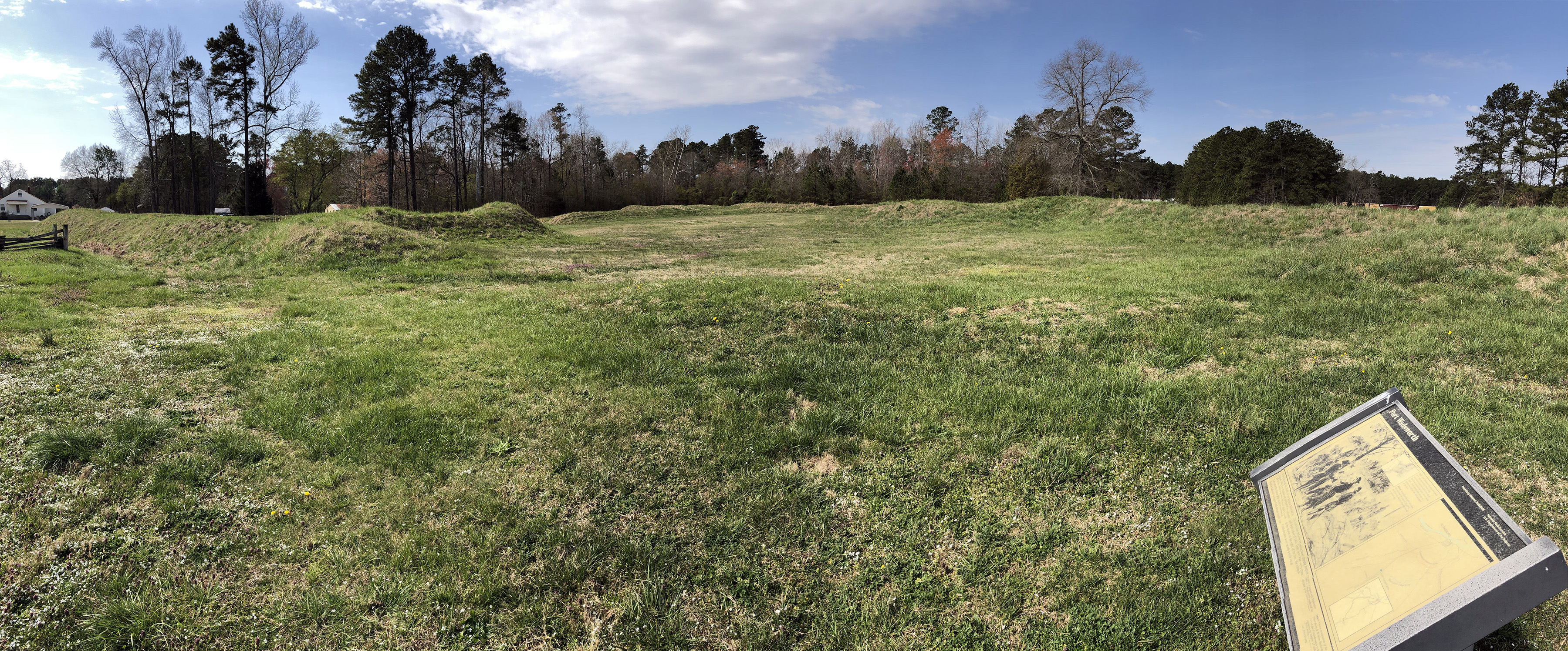
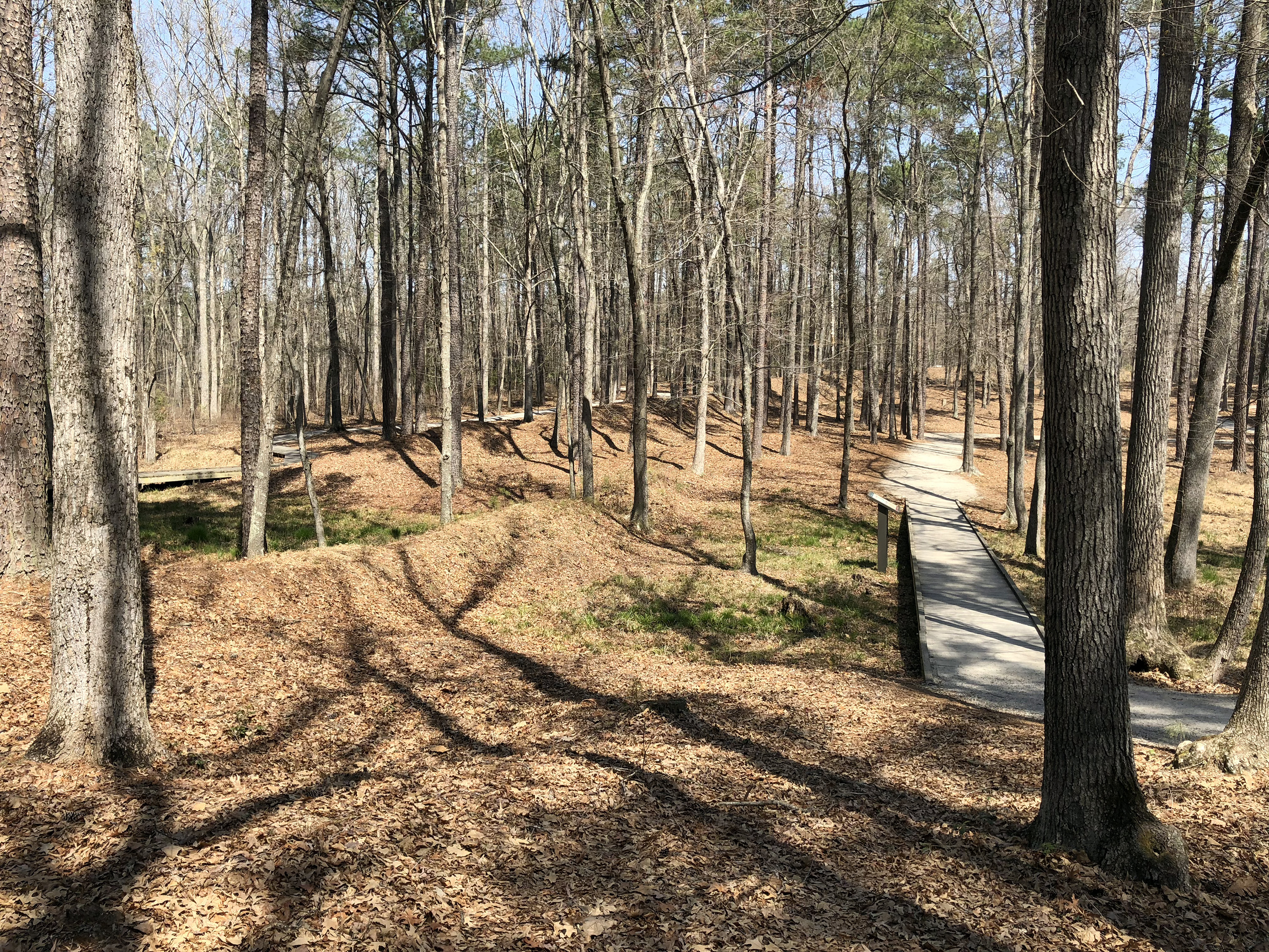
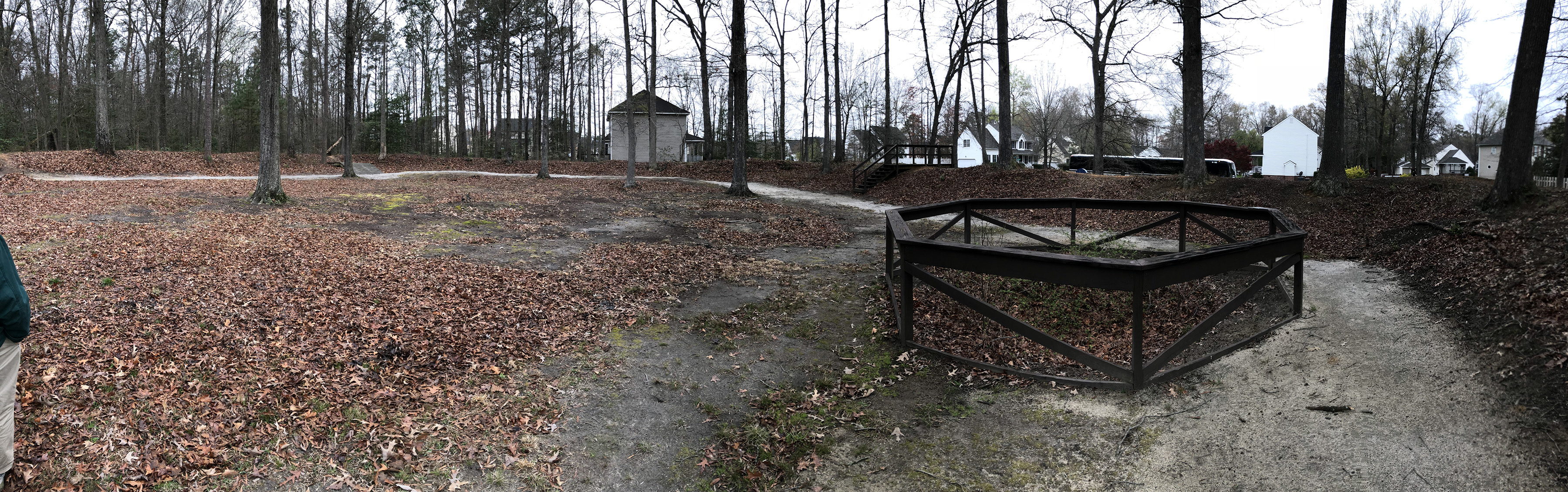
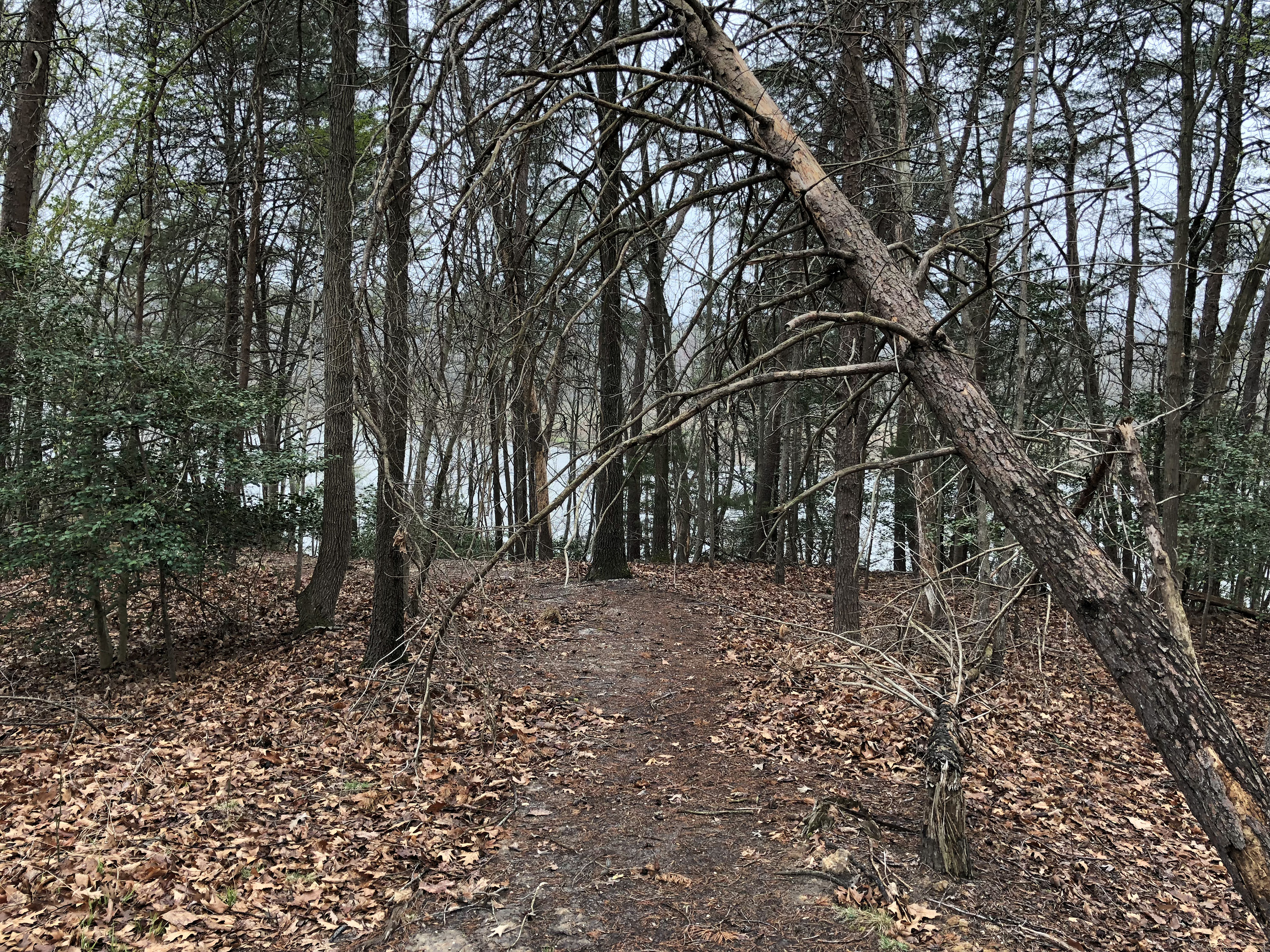
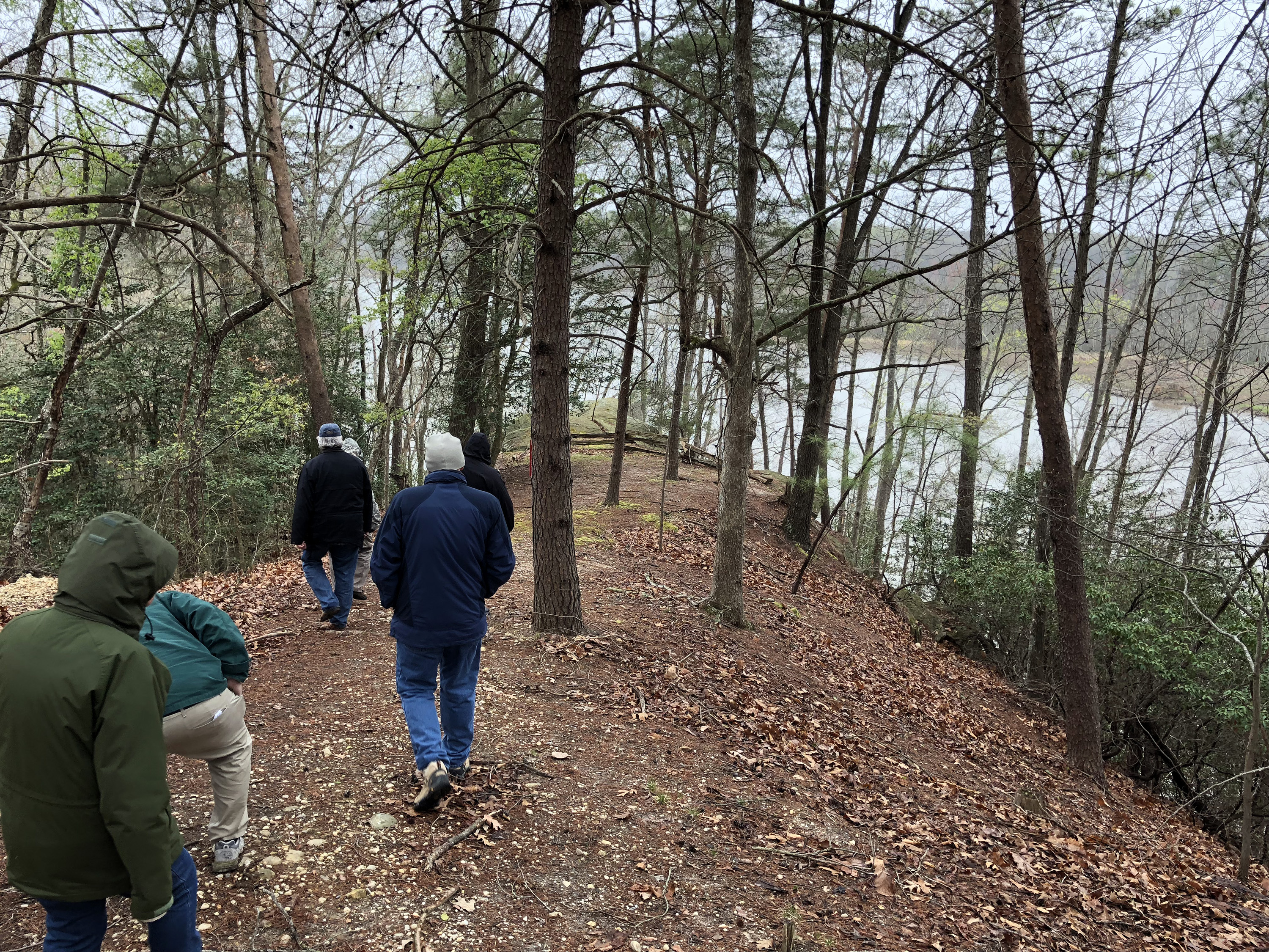
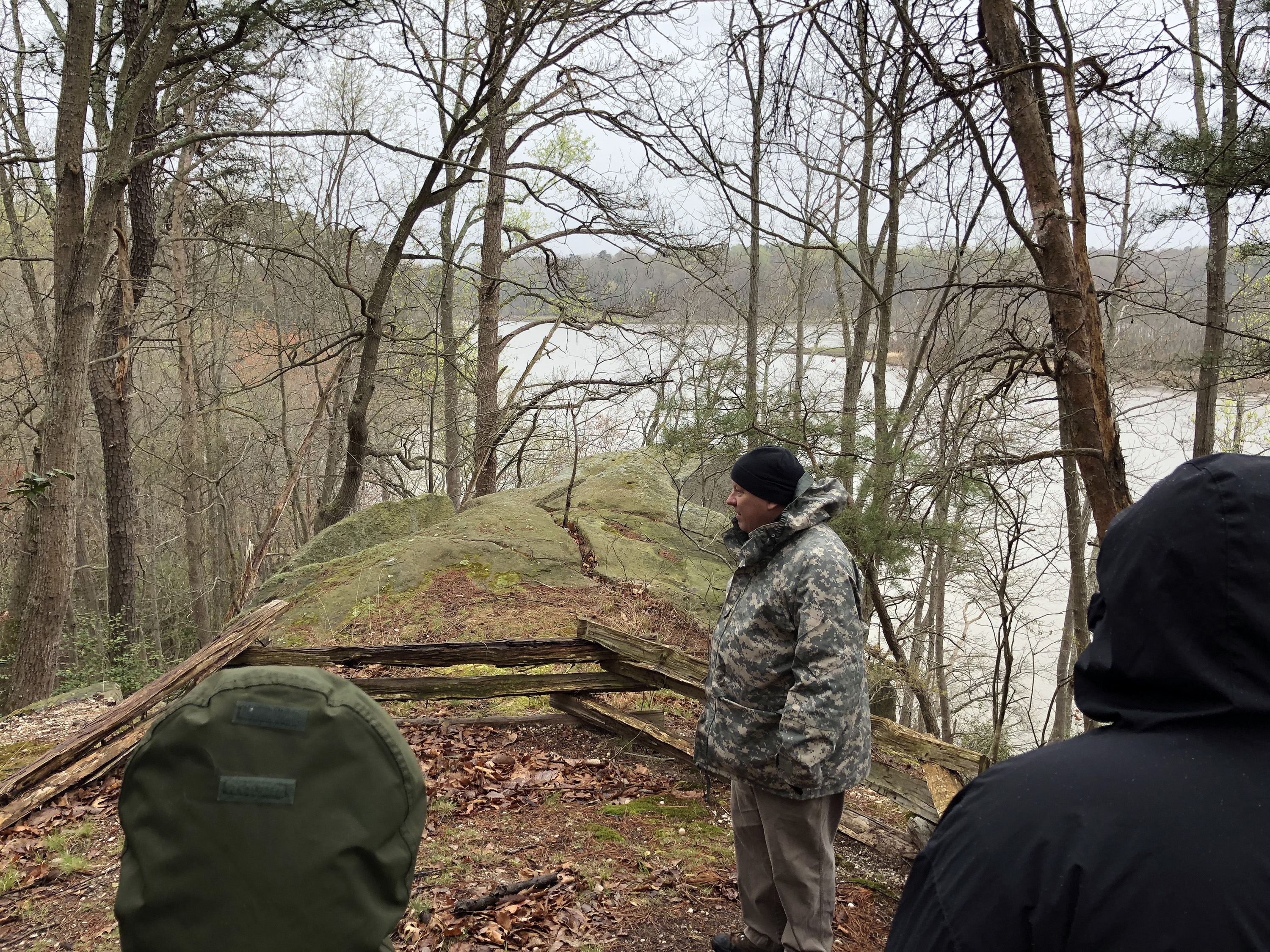
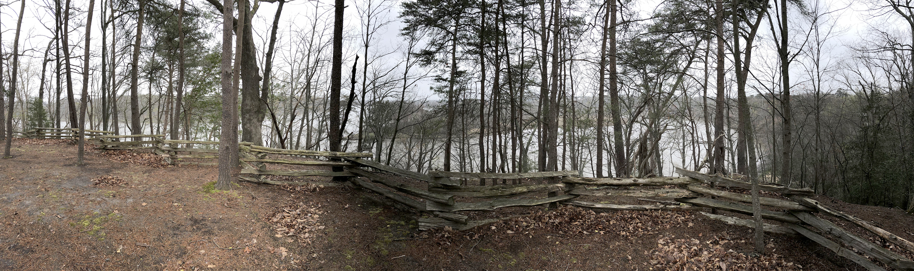
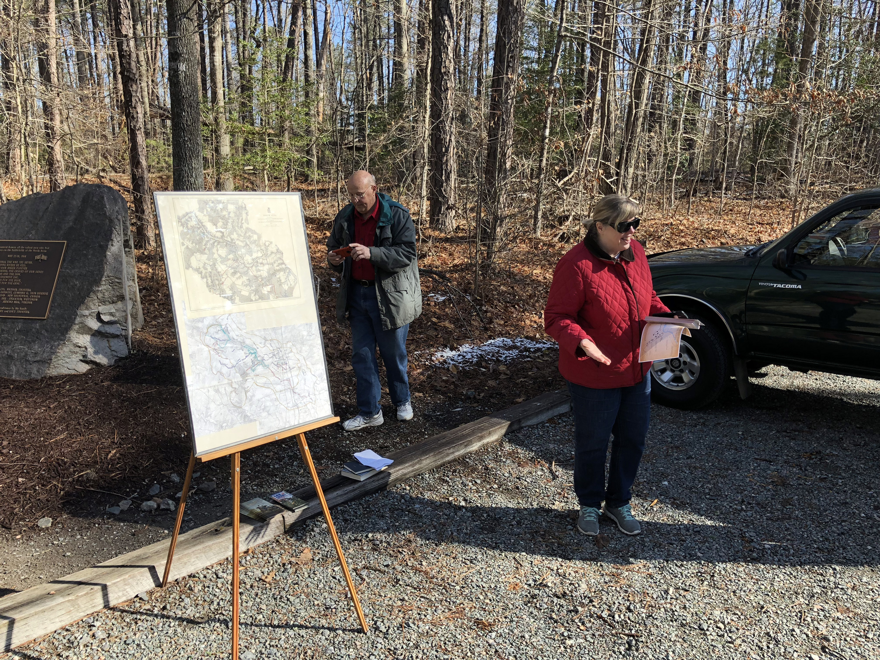
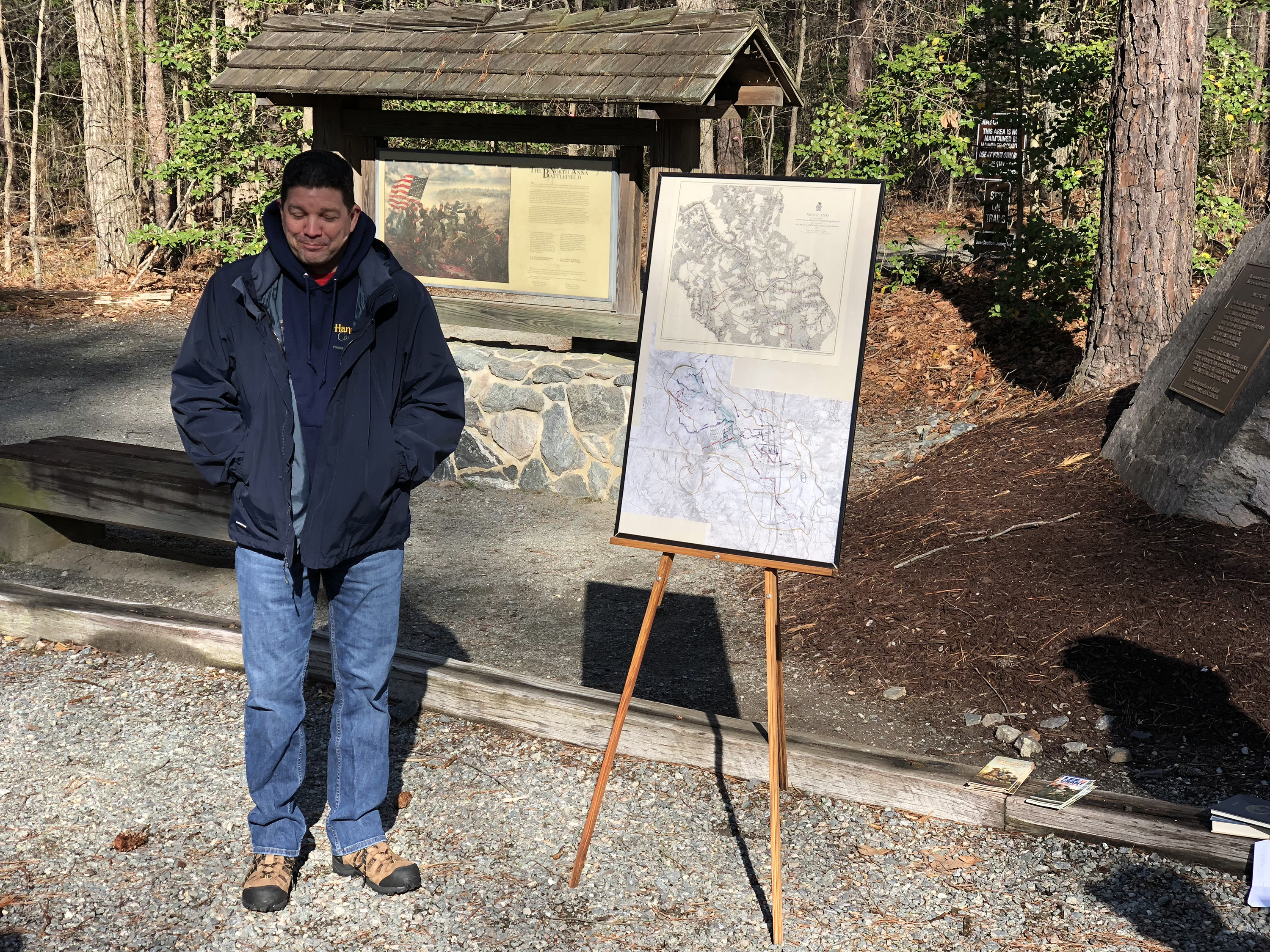
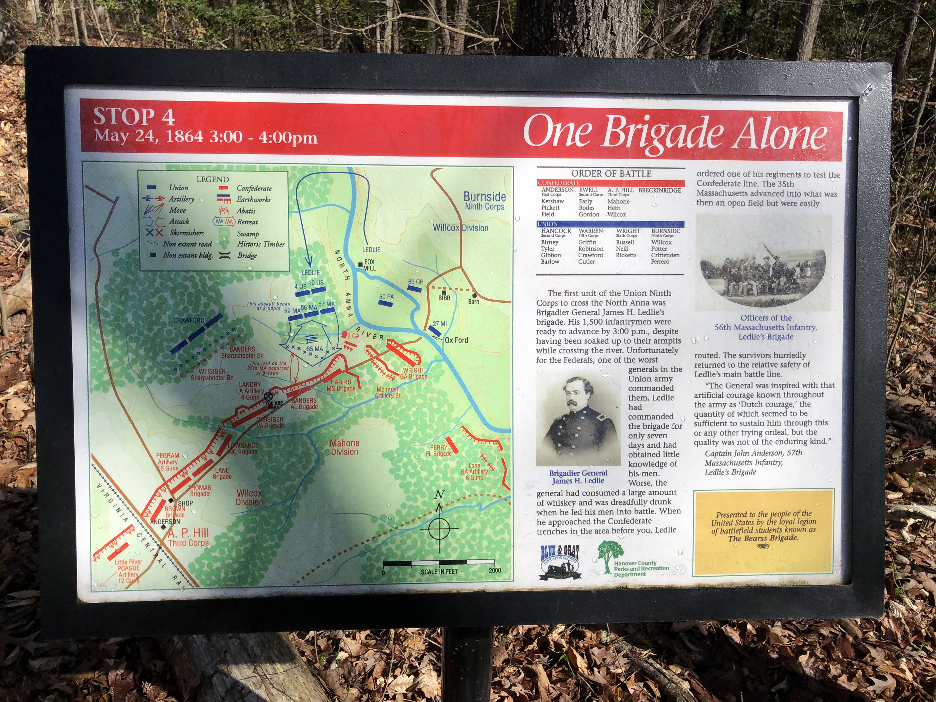
Today turned out to be slightly colder than yesterday, but since it was bright and sunny and we got to do more walking around, it was easily tolerable. We drove our cars in caravan to the North Anna battlefield, where BGES sponsored 23 wayside signs. We were greeted by Art Taylor of the Hanover County Historical Association and Greg Sager, who is the parks director for Hanover County and who was responsible for managing the construction of the new aspects of the park. (Ben Buckley, long time BGES member who was very active in the park improvements, attended, but did not speak. Len Riedel was once again ill and could not attend, so Gloria was our hostess.) I was very impressed with the park and particularly the signs, which really add lots of details to the actions. (Although I must modestly say that I could have done a better job on the maps.) Many of them focus on the disastrous attack by James Ledlie’s brigade on the upper left-hand portion of the famous inverted V Confederate line, just below Ox Ford. The paths are in great shape and there are a few well constructed observation platforms. We had about 90 minutes available to walk the trails, which turned out to be inadequate. I got through all of the stops of the Confederate line on the “gray trail,” but the more strenuous blue trail was much too long to include, so I only got through three stops before I had to turn back. I definitely have it on my to do list to return and walk the entire blue trail.
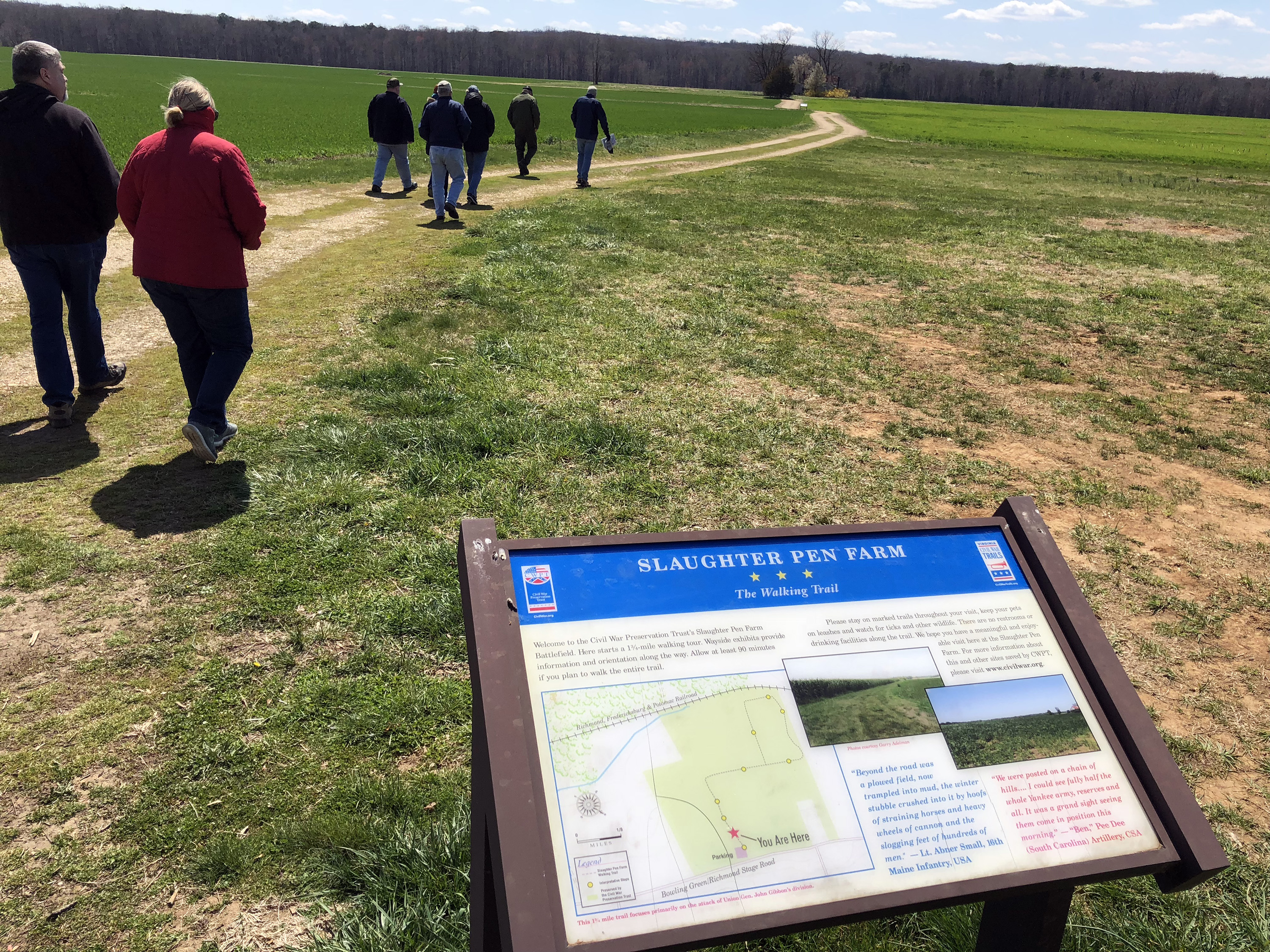
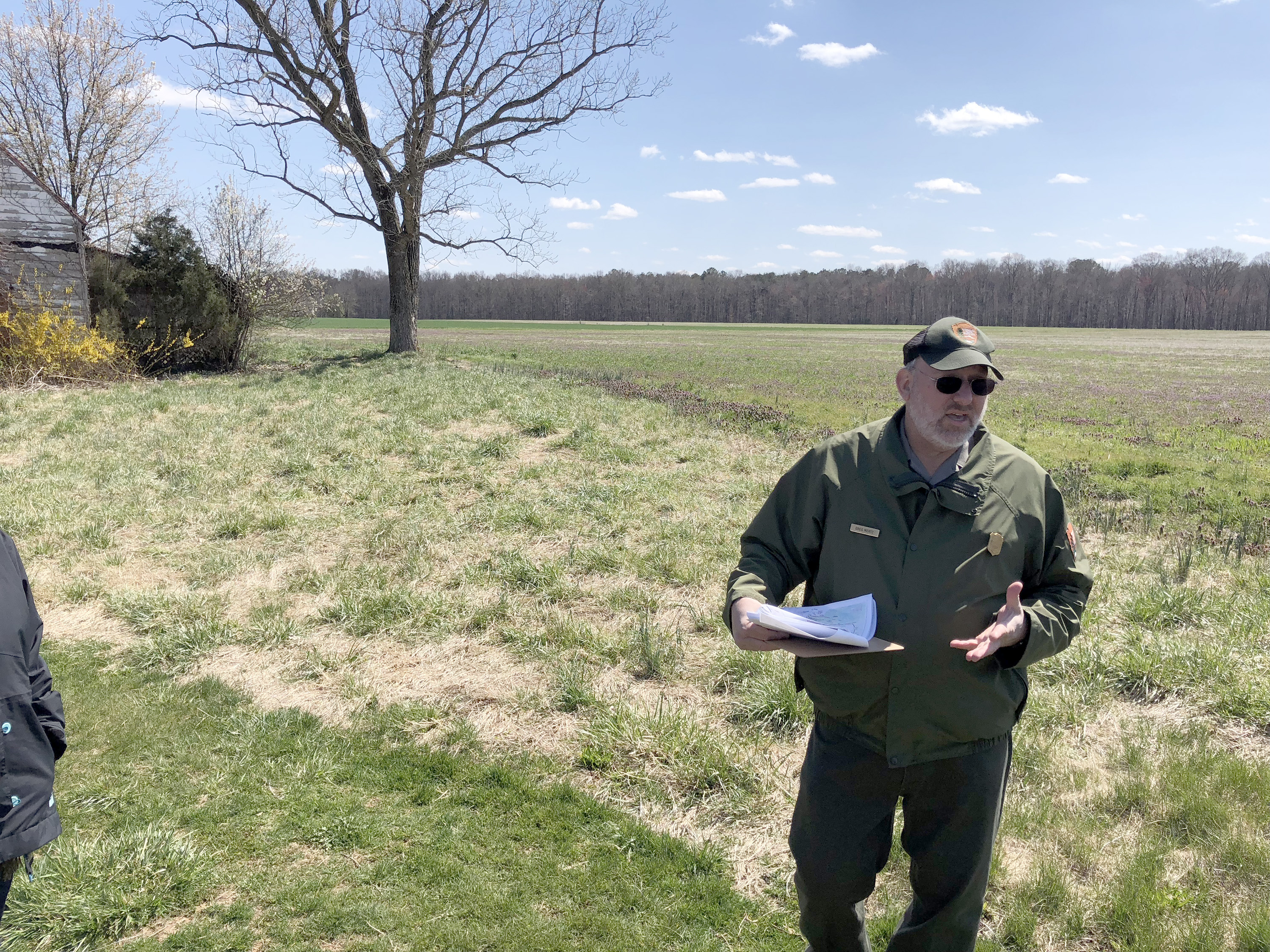
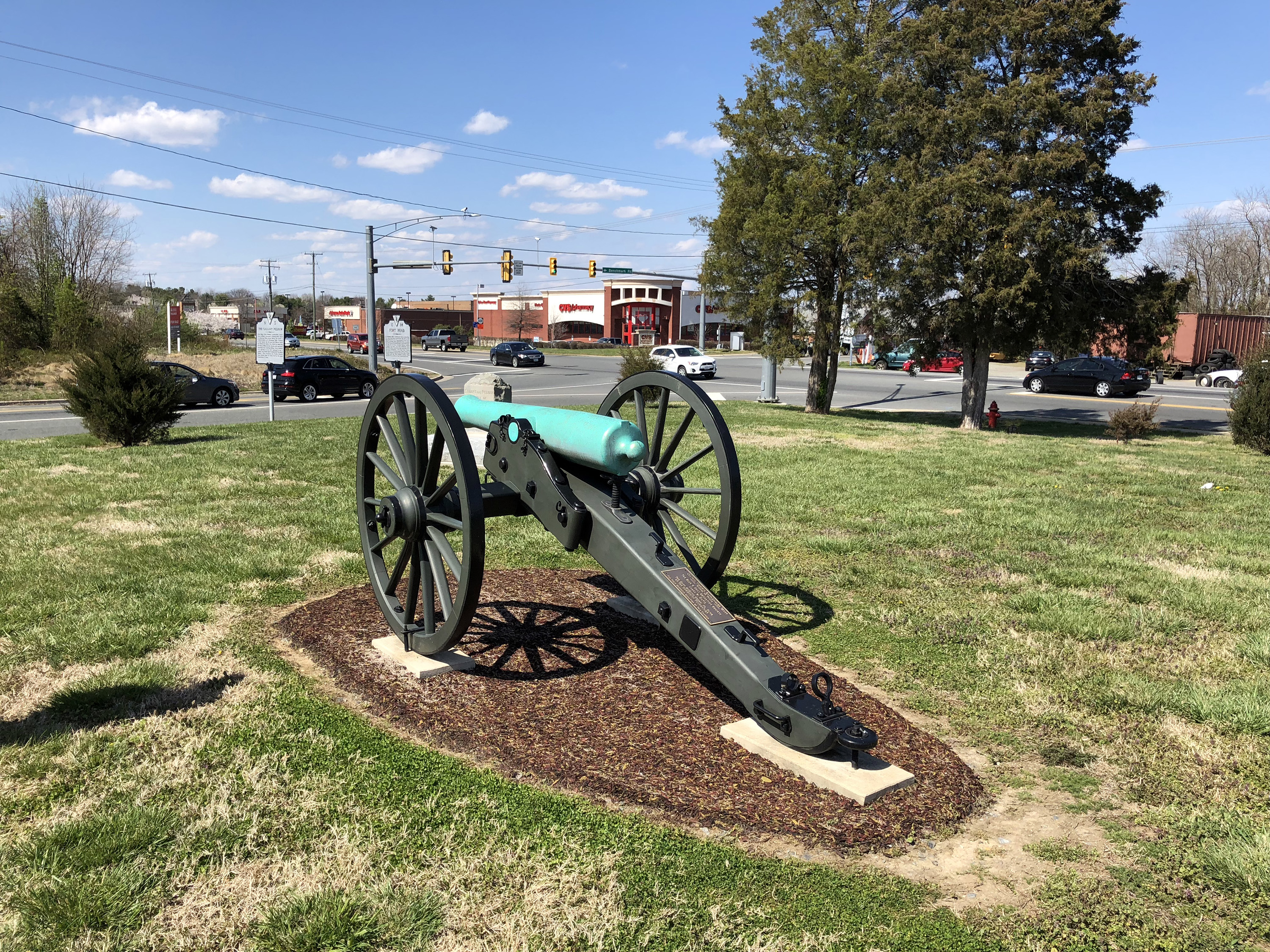
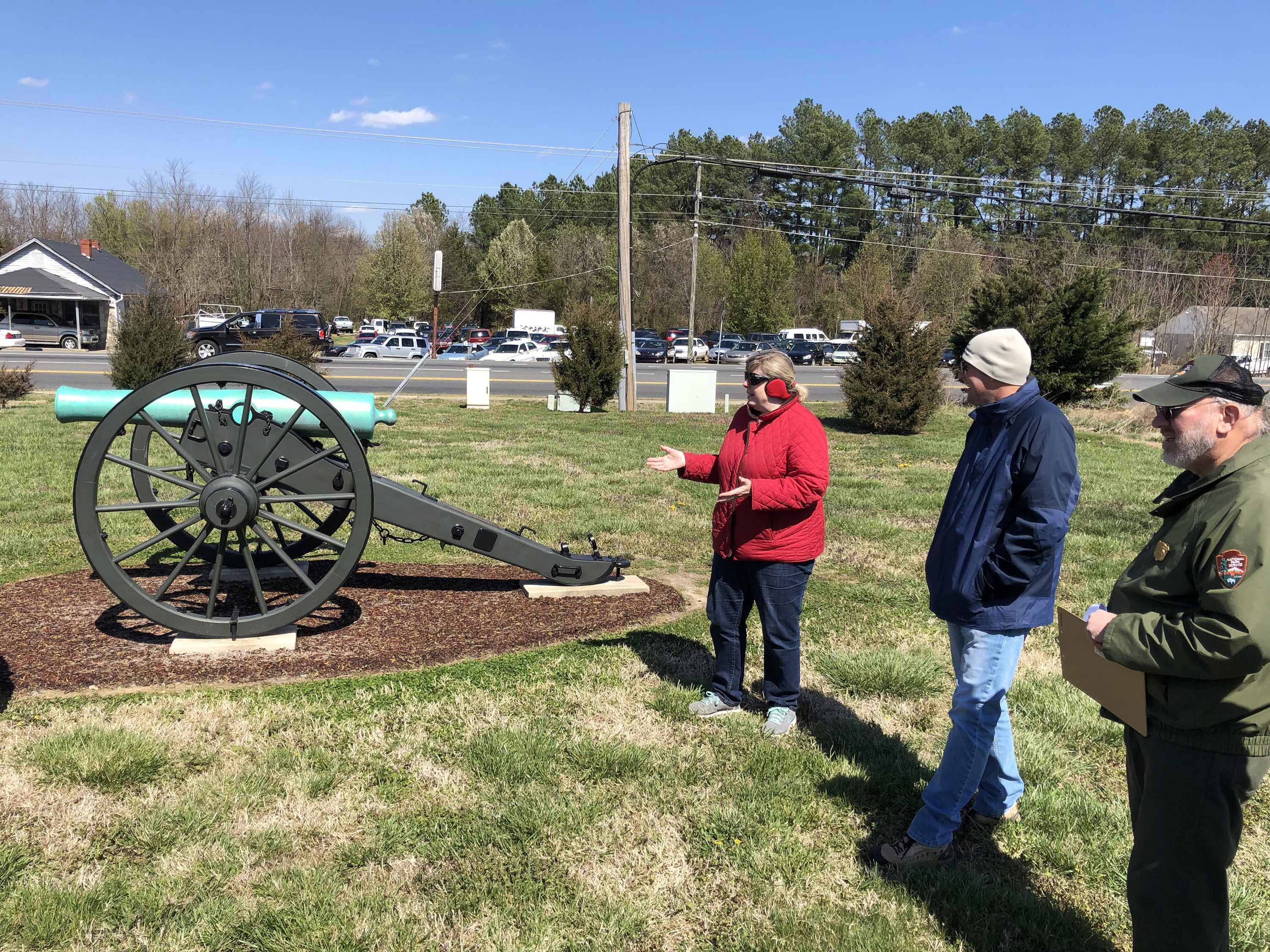
Next we drove to Fredericksburg and had lunch at the Colonial Tavern, which is also known as the Iron Brigade Tavern, right next to the train station. It was a typical pub and we had "Irish nachos" as an appetizer. We concluded the day on the southern end of the Fredericksburg battlefield. We drove to the Slaughter Pen Farm and met Ranger Greg Mertz, who led us through the Union attacks through this area, primarily Gibbon’s. Greg had excellent handouts from Blue and Gray magazine, which he annotated with numbers indicating the actual positions we stood in. Then we drove to Pelham’s Corner, which is right next to a Family Dollar store, where the gallant Pelham fired his guns into the Union lines, delaying the attack; BGES contributed about half of the funds necessary to mount a Napoleon here as a monument. Tom Van Winkle of the Central Virginia Battlefield Trust made some remarks thanking us for our contributions. Then it was back to Dulles for my flight back to San Francisco. I had a good time with the BGES folks and saw some interesting battlefield that I had not visited before, so it was a very profitable weekend for me.